
Cyclists.com

Stage 15 of 15 · Munich to Venice via Brenner, Lake Garda and Bologna← Stage 14

Piove di Sacco to Mestre

54 km mixed-surface cycling route0 m climbing2–3 hoursGPX

Piove di Sacco, Veneto, Italy · Mixed

A flat 54 km mixed-surface cycling route from Piove di Sacco, Veneto to Mestre through Isola dell'Abbà, Roncaglia and Forcellini, with 0 m of climbing. Mixed surface: 75% is mapped as paved and 12% as gravel or unpaved and 13% has no surface data.
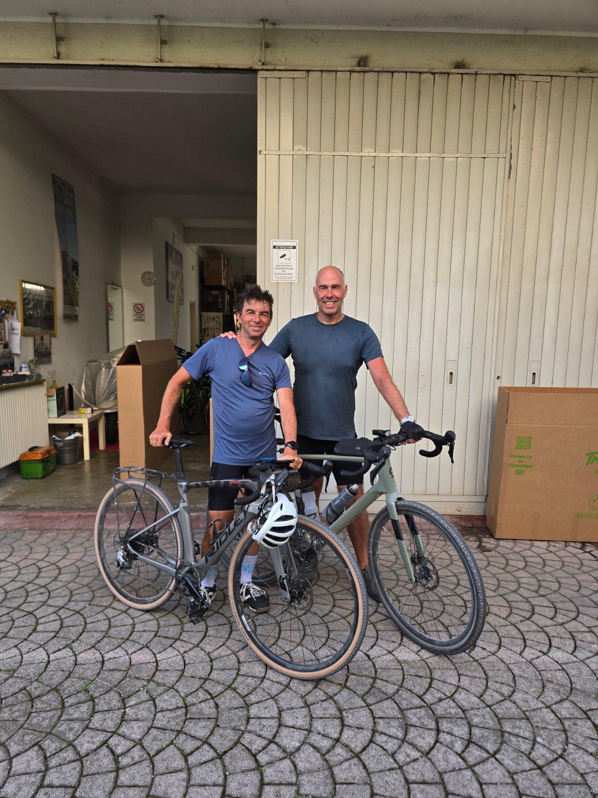
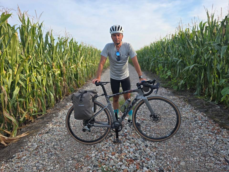
Route contributed by Marcus · Created from a ride on Friday 2nd October 2026

Download GPXMap

At a glance

Best for
Flat, steady riding
Distance
53.6 km
Point to point
Elevation gain
0 m
Riding time
2–3 hours
moving time, estimated
Difficulty
Easy
Bike
Road bike with sturdy tyres, or gravel bike
from the mapped surface
Surface
Mixed surface
75% paved · 12% unpaved · 13% no data
Traffic
Mostly minor roads
5.8 km on main roads without a cycle lane · 3.6 km on cycle paths or lanes
Food & water
Regular
231 cafés and restaurants · 37 shops · 25 water points · 15 petrol stations · 4 public toilets · 21 bike shops
Navigation
GPX download
free, no sign-in
Start → finish
Piove di Sacco → Mestre

Map and elevation profile

On the road: Piove di Sacco to Mestre, Piove di Sacco

Elevation profile

Total ascent
0 m
Distance
54 km
020m0 km204054 km15 m · highest, at 21.1 kmStartFinish

What it was like to ride

Route description

  1. Piove di Sacco
  2. Isola dell'Abbàkm 10
  3. Roncagliakm 15
  4. Forcellinikm 19
  5. San Gregorio di Caminkm 22
  6. Capricciokm 28
  7. Fiesso d'Articokm 31
  8. Sambrusonkm 37
  9. Mira Portekm 43
  10. Mestrekm 54

The ride starts near Piove di Sacco and passes through numerous towns including Quartiere Sant'Anna at 0.9 km, Isola dell'Abbà at 10.4 km, Ponte San Nicolò at 13 km, and Padua at 19.3 km. The route continues through several other places such as Noventa Padovana, Stra, Dolo, Mira, and Oriago before reaching Mestre at 52.8 km. The elevation remains flat, peaking at 15 m around km 20.7 and descending to 1 m at km 49.1.

The surface is mainly paved (75%), along with some gravel or unpaved sections (12%) and unmapped areas (13%). The ride covers varied road types: quiet streets (13.2 km), minor roads (11 km), paths (10.3 km), main roads (5.6 km), tracks (5.1 km), roads with cycle lanes (2 km), and cycle paths (1.6 km). There are 5.8 km on main roads without cycle lanes and 3.6 km on cycle lanes or paths.

Many food and drink options are available along the way including bakeries, cafés, and pubs near km 0.9, 13.4, 18.7, 23.4, 29.9, 35.2, 42.6, 46.7, and 52.8. Shops, water sources, bike shops, petrol stations, toilets, and bailout points such as stations and ferries are distributed along the route. The longest stretch without a café, shop, or water is 9.7 km from 0.9 km to 10.6 km.

Highlights

  • Padua at 19.3 km
  • Ponte San Nicolò at 13 km
  • Villa Donà, Priuli at 35.4 km
  • Longest no-stop stretch 9.7 km from 0.9 to 10.6 km

Along the route

Measured from the route line, the Copernicus elevation model and OpenStreetMap.

Places passed

  1. Isola dell'Abbà 10.4 km
  2. Roncajette 10.7 km
  3. Ponte San Nicolò 13 km
  4. Roncaglia 14.9 km
  5. Voltabarozzo 16.9 km
  6. Sant'Osvaldo 17.9 km
  7. Forcellini 18.5 km
  8. Padua 19.3 km
  9. Stanga 20.6 km
  10. San Gregorio di Camin 21.9 km
  11. Camin 24.2 km
  12. Noventa Padovana 24.6 km
  13. Noventana 26.9 km
  14. Capriccio 28.1 km
  15. Stra 29.2 km
  16. San Pietro 29.8 km
  17. Fiesso d'Artico 31.4 km
  18. Paluello 33.1 km
  19. Dolo 35.4 km
  20. Sambruson 37.3 km
  21. Mira Taglio 41 km
  22. Mira 42.4 km
  23. Mira Porte 43.4 km
  24. Oriago 46.3 km
  25. Ca' Sabbioni 47.6 km
  26. Ca' Emiliani 50.7 km

Traffic, surface and gradient

Measured from OpenStreetMap along the track and the elevation profile.

Mostly minor roads and streets on the map; 5.8 km is on main roads without a cycle lane.

Roads
25% quiet street · 21% minor road · 20% path · 11% main road · 17% other roads and tracks · 7% unmapped
Main roads
5.8 km on main roads without a cycle lane — likely busier
Cycle paths
3.6 km on cycle paths or roads with a cycle lane
Surface
Mixed surface: 75% is mapped as paved and 12% as gravel or unpaved and 13% has no surface data.
Gradient
0% climbing · 0% descending · 100% flat

Food, water and services

Within a few hundred metres of the track, from OpenStreetMap. Opening hours change — treat this as where to look, not a promise.

No stretch is longer than 15 km without a café, shop or water. Along the route: 231 cafés and restaurants, 37 shops, 25 water points, 15 petrol stations, 4 public toilets and 21 bike shops.
Food, water and shops in ride order

  1. 0.2 kmWater tap · 50 m off route
  2. 0.8 kmFarmacia Vidale · pharmacy · 50 m off route
  3. 12.9 kmParafarmacia Erboristeria · pharmacy · 80 m off route
  4. 13.4 kmPasticceria La Specola · patisserie · 170 m off route
  5. 17.4 kmAerocorsa · bike shop · 100 m off route
  6. 18 kmDrinking water · 40 m off route
  7. 23.4 kmLa Nuvola Blu · café · 40 m off route
  8. 24.6 kmCicli Zarma · bike shop · 70 m off route
  9. 29.5 kmDistretto di Stra ULSS13 · clinic · 50 m off route
  10. 29.9 kmToilets · 130 m off route
  11. 35.2 kmCaffè Carraro · café · 130 m off route
  12. 35.8 kmDrinking water · on the route
  13. 42.3 kmDrinking water · on the route
  14. 42.9 kmEni · petrol station · on the route
  15. 44.1 kmToilets · 30 m off route
  16. 46.5 kmDrinking water · 40 m off route
  17. 50.2 kmNoal Oil · petrol station · 190 m off route
  18. 52.8 kmGreengrocer · 40 m off route

Need to bail out?

  • 0.9 km — Piove di Sacco (station), 570 m off route
  • 29.8 km — Villa Pisani (ferry), 40 m off route
  • 44.1 km — Villa Widmann (ferry), on the route
  • 52.8 km — Venezia Mestre (station), 1.3 km off route

Whether bikes are carried depends on the service — check before relying on it.

Worth a stop

  • 0.6 km — Palazzo Badoer, Sommer (attraction)
  • 10.7 km — Don Giovanni Rossi Prima guerra mondiale (monument)
  • 19.5 km — Baluardo Cornaro (attraction)
  • 29.3 km — Villa Cappello - Giantin (attraction)
  • 35.4 km — Villa Donà, Priuli, detta "San Giacomo" (attraction)
  • 41.2 km — Villa Bon, Varisco, Tessier (attraction)

Stay after this ride

  • Nice Hotel · hotel · 150 m from the finish
  • Hotel Roma · hotel · 520 m from the finish
  • Home Venezia · apartment · 570 m from the finish
  • BB Ca' Venezia · guest house · 670 m from the finish
  • Belstay Venezia Mestre · hotel · 720 m from the finish

Start and access

Starts at Piove di Sacco. Mapped within a short walk of the start and finish, from OpenStreetMap.

At the start

Food and coffee
Bar Tabacchi Bisacco (240 m), Ristorante Moby Dick (50 m), Pasticceria Milanese (720 m)

At the finish

Bikes and repair
Travel&Bike (40 m)
Food and coffee
Le Delizie di Dea (60 m), Le Do Fie (130 m), City Istanbul (70 m)
Pharmacy and medical
Farmacia S. Antonio (160 m)

Know before you go

  • Longest stretch without café, shop, or water: 9.7 km from 0.9 to 10.6 km
  • 5.8 km on main roads without cycle lane
  • 12% gravel or unpaved surface

Routes are for inspiration. Roads, surfaces and conditions change — check locally and ride within your limits.

9 photographs from the road

Stage of

About this route

Ridden by
Marcus
Date ridden
Route line
Built from a GPS recording of the ride.
Elevation
Recalculated from the Copernicus GLO-90 terrain model every 50 m, not the device’s barometer.
Roads, surface, services
Measured along the line from OpenStreetMap extracts.
GPX
Generated from the route line: track points only, no timestamps or personal data.
Page added
Page last updated

See something wrong with this ride?

Rides starting nearby