
Road · France
A mountainous 18 km road cycling route from Grenoble through La Tronche, Maubec and Corenc, with 1,110 m of climbing over the La Tronche climb.
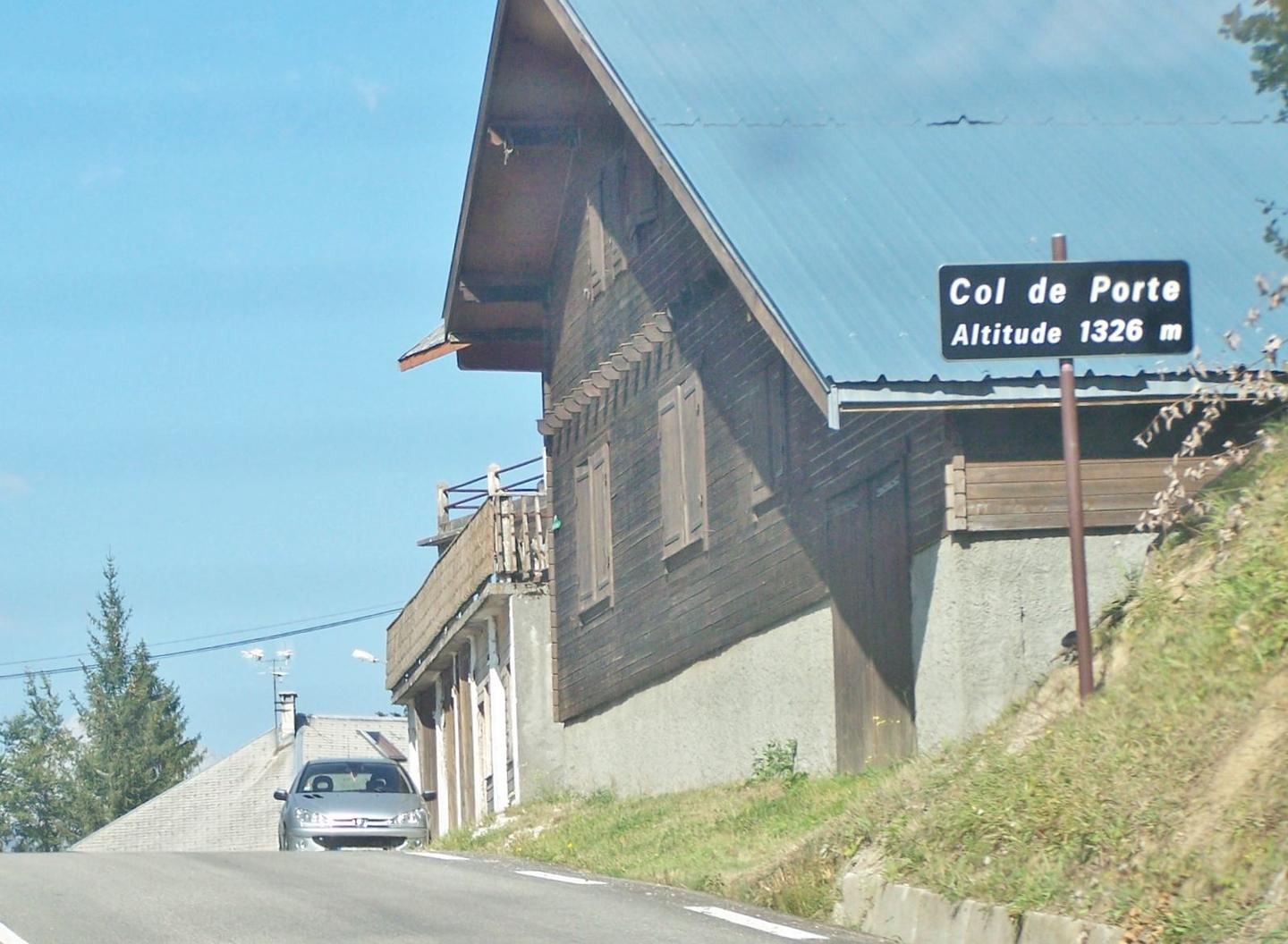
Starting near Grenoble, the route ascends over 15.4 km from 2.2 km into the ride, gaining 1102 m of elevation up to 1323 m at the Col de Porte. The climb is steep with an average gradient of 7.2% and a maximum of 14.4%. Nearly all the route is paved with 99% paved surface and just 1% unmapped.
The roads consist mainly of main roads (68%) including 13.9 km on the D 512, with 12.1 km on main roads without a cycle lane and 5.7 km on roads with speed limits over 80 km/h. There are cycle lanes for 2.2 km and smaller portions of path, minor road, and quiet street. Facilities near the start in Grenoble include bakeries, cafés, a bike shop, and toilets. Along the climb, water is available at 2.3 km, 7.3 km, 10.8 km, and at the summit. Shops and cafés are near 5.6 km and 13 km. The longest stretch without café, shop, or water is 4.2 km between 13.5 km and the finish. The route ends at Col de Porte with café and restaurant options.
| Climb | Starts at | On this ride | Full ascent | Top on this ride |
|---|---|---|---|---|
| La Tronche climb | 2.2 km | 15.4 km · 1102 m · 7.2 % · max 14.4 % | 15.4 km · 1102 m · 7.2 % | 1323 m |