
Road · From the map · Switzerland
Grimsel Pass from Innertkirchen
- 27 km
- 1,536 m
- Hard
- Paved
Elevation profile
- 1,536 m
- 27 km
Route overview
This ride suits cyclists prepared for a sustained 27 km climb with over 1500 m ascent.
A 27 km climb from Innertkirchen to Grimsel Pass in Switzerland with 1536 m ascent.
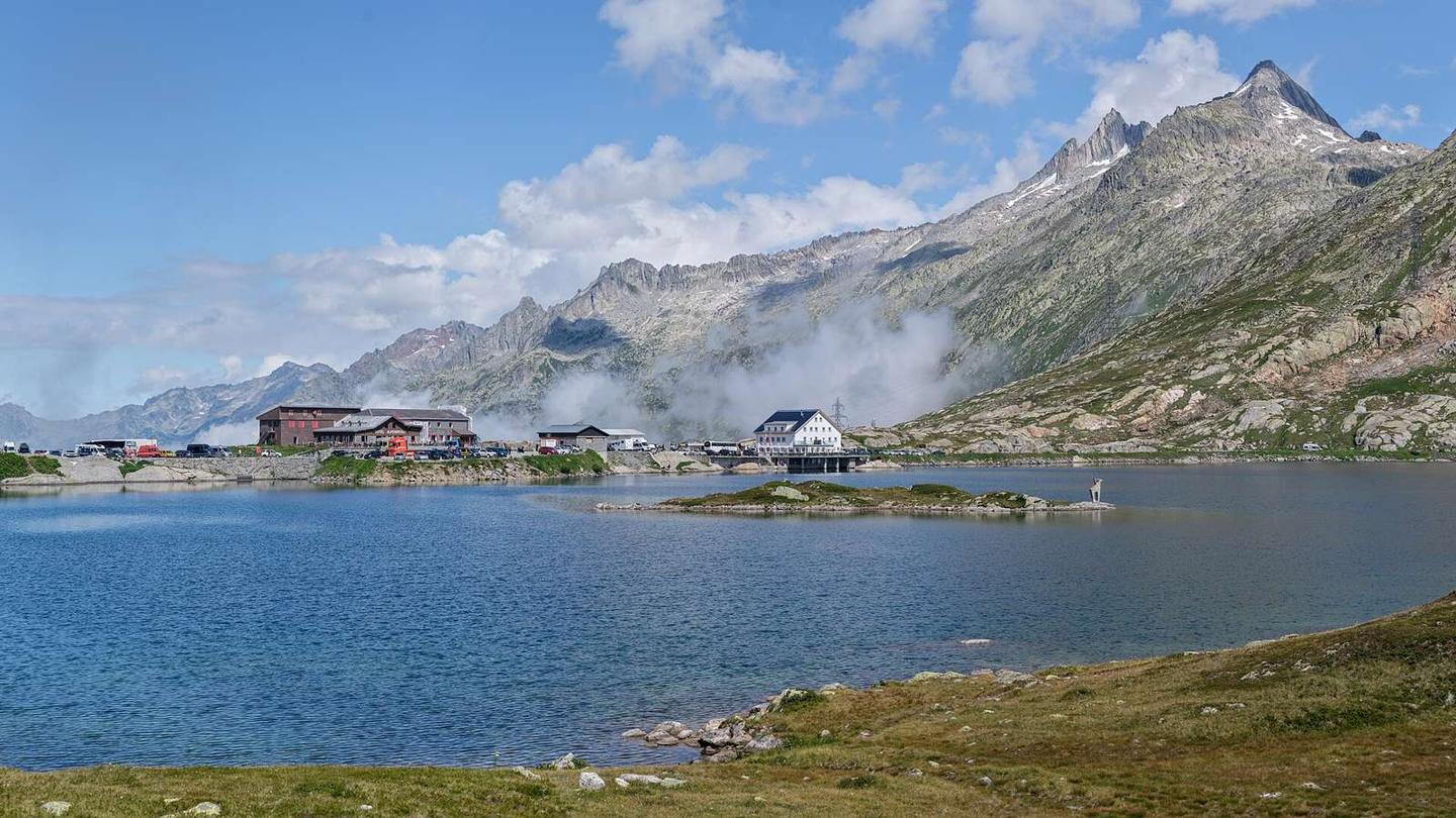
Starting at Innertkirchen (626 m), the route climbs steadily for 26.7 km with a total elevation gain of 1533 m to reach the Grimsel Pass at 2163 m. The climb averages 5.7% gradient, with sections up to 10.6% steepness. The highest point is reached near 27.1 km. The route is mainly on the main road number 6, covering 24.6 km without dedicated cycle lanes, and includes 18.5 km with speed limits of 80 km/h or more. The road surface is predominantly paved (98%), with a small section (2%) on track or quiet street. Places passed include Boden at 5.9 km and Guttannen at 8.7 km. Along the way, there are restaurants at 3.8 km (Urweid), 8.6 km (Bären), 14.7 km (Handegg), 22 km (Grimsel Hospiz), and near the summit at 26.7 km (Hotel Grimselpasshöhe). Shops and water points are available early on and near Guttannen. The longest stretch without café, shop or water is 7.3 km from 14.7 to 22 km. Bailout stations are at Innertkirchen Kraftwerk (0.4 km) and Gletsch (27.2 km). Toilets are located at 0.1 km, 8.7 km, 14.5 km, and near the summit at 26.5 km.
Highlights
- Grimsel Pass at 2163 m
- Climb averages 5.7% up to 10.6% max gradient
- Passes Guttannen at 8.7 km
- Several restaurants along the route
Along the route
Places passed
Climbs
| Climb | Starts at | Length | Gain | Average | Max | Top |
|---|---|---|---|---|---|---|
| Innertkirchen climb | 0.3 km | 26.7 km | 1533 m | 5.7 % | 10.6 % | 2163 m |
Innertkirchen climb · starts at 0.3 km
What this ride is like
- Roads
- 90% main road · 6% minor road · 2% track · 2% quiet street
- Main roads
- 24.6 km on main roads without a cycle lane — likely busier
- Fast roads
- 18.5 km on roads with a limit of 80 km/h or more
- Main roads used
- 6 (25 km)
- Surface
- Paved throughout
- Gradient
- 91% climbing · 0% descending · 8% flat
- Steep sections
- 16.7 km over 5% · 5.6 km over 8% · 1.2 km over 10%
Along the way
Food, water and shops
- 0 km2 Rad-Center Schild · bike shop · 50 m off route
- 0.1 kmVolg · supermarket · on the route
- 0.1 kmDrinking water · 70 m off route
- 0.1 kmToilets · on the route
- 0.3 kmPetrol station · on the route
- 3.8 kmUrweid · restaurant · 40 m off route
- 8.6 kmBären · restaurant · on the route
- 8.6 kmPrima · supermarket · on the route
- 8.6 kmDrinking water · on the route
- 8.7 kmToilets · on the route
- 14.5 kmToilets · 80 m off route
- 14.7 kmHandegg · restaurant · 70 m off route
- 22 kmGrimsel Hospiz · restaurant · 380 m off route
- 26.5 kmToilets · on the route
- 26.7 kmHotel Grimselpasshöhe · restaurant · on the route
- 27.2 kmKristallgrotte Kiosk · kiosk · on the route
Need to bail out?
- 0.4 km — Innertkirchen Kraftwerk (station), 180 m off route
- 27.2 km — Gletsch (station), 1.2 km off route
Worth a stop
- 8.7 km — Startpunkt Audiothemenweg (attraction)
- 14.5 km — Gelmerbahn (attraction, 1409 m)
- 24 km — old Hospice (in spring only) (ruins)
- 27.2 km — Grimsel 2164m (attraction)
At the start
- Volg · supermarket · 70 m
- 2 Rad-Center Schild · bike shop · 50 m
- Innertkirchen Grimseltor · halt · 100 m
- Hotel Restaurant Alpenrose · restaurant · 80 m
- Innertkirchen Kraftwerk · station · 460 m
At the finish
- Kristallgrotte Kiosk · kiosk · 70 m
- Hotel Grimselpasshöhe · restaurant · 520 m
- Alpenrösli · restaurant · 620 m
Stay after this ride
- Hôtel Grimselblick · hotel · 50 m from the finish
- Alpenlodge Grimselpass · campsite · 110 m from the finish
- Hotel Grimselpasshöhe · hotel · 510 m from the finish
- Hotel Alpenrösli · hotel · 620 m from the finish
- Grimsel Hospiz · hotel · 1.5 km from the finish
Practical information
- Paved
- Point to point
- 1 h 57 min
Know before you go
- 24.6 km on main roads without cycle lane
- 18.5 km on roads with 80 km/h or more speed limit
- Longest 7.3 km without café, shop or water
- Some sections exceed 10% gradient for 1.2 km
