
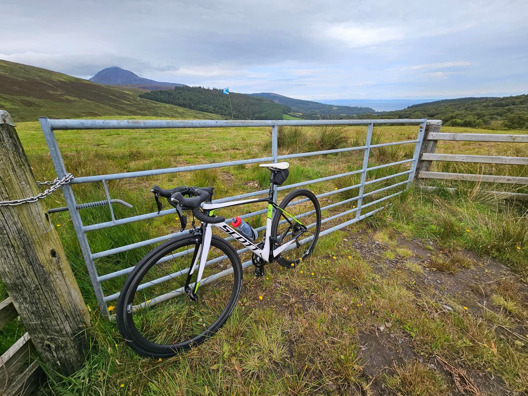
Road · United Kingdom
Suits riders comfortable with a long day of 89.9 km and 850 m of climbing spread over six modest rises.
An 89.9 km loop right around the Isle of Arran, with 850 m of climbing and six short coastal rises.
The loop runs down the east coast first, passing Cladach at 6.8 km and Brodick at 9.1 km, where cafés and a drinking water tap are clustered within a kilometre. The first climb starts immediately after at 9.9 km: 2.7 km at 3.6%, topping out at 94 m with a viewpoint at 12.5 km. A second rise of 2.4 km at 3% leaves Lamlash at 16 km, then a longer pull of 3.7 km at 3.3% (max 7.1%) begins at 23.4 km beyond Whiting Bay, reaching 98 m. Kildonan follows, with viewpoints at 29.1 km. The south coast strings together Kilmory, Lagg and Sliddery, where a short sharp climb at 38 km runs 1.2 km at 4.7% with a maximum of 10.5%. Past Cnocan Donn (219 m), the route turns north through Blackwaterfoot at 47 km, Machrie and Dougarie, then follows the west coast through Pirnmill, the Thundergay hamlets and Catacol beneath Choc Leacainn Duibhe (230 m). From Lochranza at 74.8 km comes the biggest climb: 4 km at 4.5%, max 8%, gaining 183 m. The high point of 133 m is at 80 km, beneath Torr Nead an Eoin (325 m) and Clachan (311 m), before the descent to Sannox and Corrie closes the loop. 57% of the climbing is in the first half.
| Starts at | Length | Gain | Average | Max | Top |
|---|---|---|---|---|---|
| 9.9 km | 2.7 km | 94 m | 3.6 % | 5.8 % | 94 m |
| 16 km | 2.4 km | 71 m | 3 % | 6.5 % | 54 m |
| 23.4 km | 3.7 km | 123 m | 3.3 % | 7.1 % | 98 m |
| 38 km | 1.2 km | 56 m | 4.7 % | 10.5 % | 38 m |
| 59.7 km | 1.5 km | 40 m | 2.7 % | 6.2 % | -7 m |
| 75.7 km | 4 km | 183 m | 4.5 % | 8 % | 129 m |