
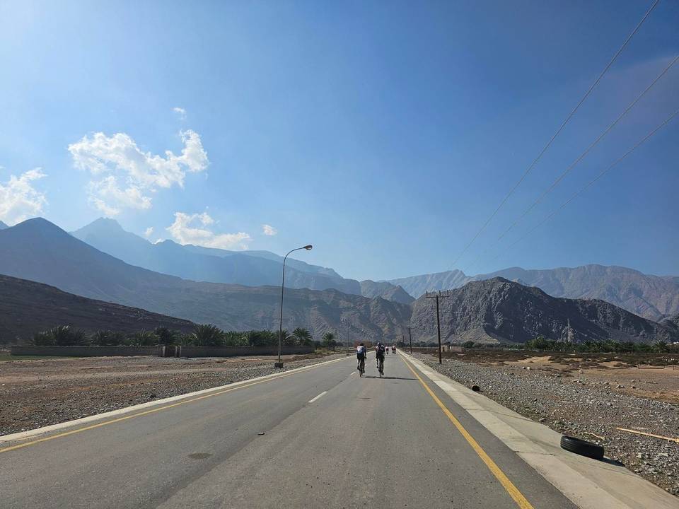
Road · Oman
A hilly 93 km road cycling out-and-back route from Al Jeer, Musandam through Tibat, Bukha and Ţaff ar Rakham, with 1,040 m of climbing over Jabal al Harf and the Mūkhī climb. Most of it (80.7 km) is on main roads without a cycle lane, 45.3 km where the limit is 80 km/h or more. There is a 31 km stretch without a café, shop or water (km 14–45).
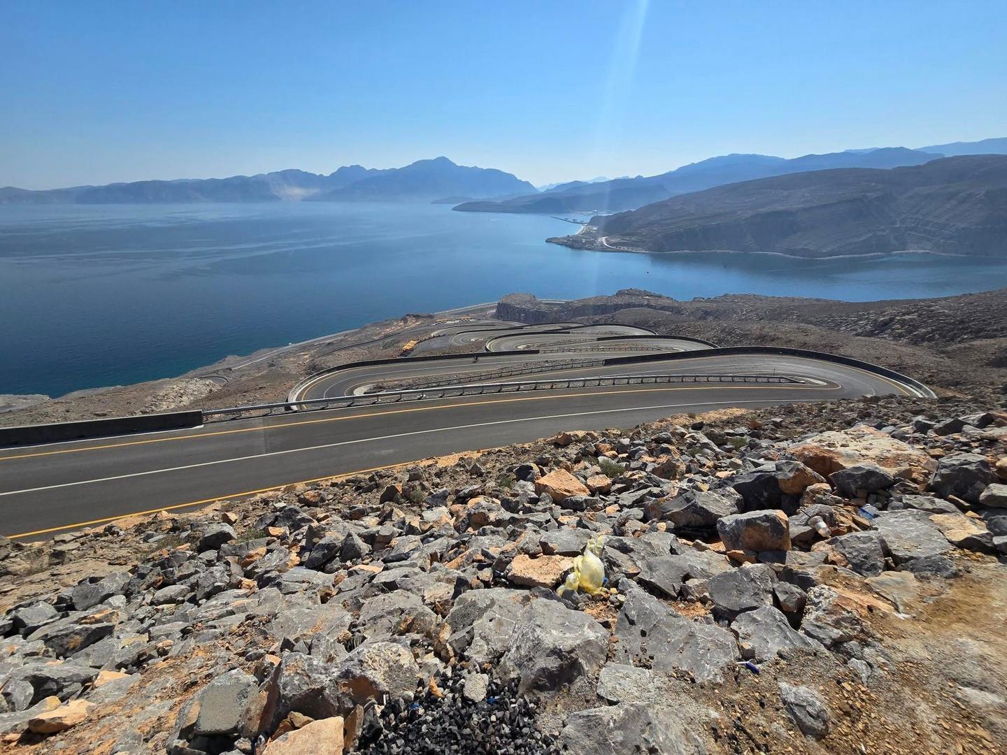
The route starts at Al Jeer and follows the coast road passing villages including Tibat, Bukha, and al Harf before reaching the zip-line climb sections. The path is predominantly on main roads, notably 78 km on the Khasab - Tibat Road, mostly paved, with a small portion of gravel and track. Climbing occurs mostly in two main sections: a moderate climb of 177 m over 3.1 km starting at 26 km, and a steeper climb of 256 m over 2.1 km from 33.2 km that reaches the highest point at 265 m near 35.3 km beneath Jabal al Harf. Descents of nearly 3 km follow, with gradients up to 18.9%. Services are limited for almost 31 km between 14 and 45 km so riders should plan accordingly. Punctuated facilities include fast food near 14 km and 68 km, a restaurant at 47 km, petrol stations around 12.6 and 47.4 km, plus toilets close to 26, 49 and 65 km. Water can be found at 65 km beside a tap.
| Climb | Starts at | On this ride | Full ascent | Top on this ride |
|---|---|---|---|---|
| Unnamed climb | 24.1 km | 1.4 km · 50 m · 3.7 % · max 9.4 % | — | 58 m |
| Jabal Mustah | 26 km | 3.1 km · 177 m · 5.6 % · max 9.3 % | 3.1 km · 174 m · 5.7 % | 192 m |
| Jabal al Harf | 33.2 km | 2.1 km · 256 m · 12.2 % · max 21.6 % | 2.2 km · 259 m · 11.8 % | 265 m |
| Mūkhī climb | 55.2 km | 3 km · 181 m · 6 % · max 11.9 % | 3.1 km · 182 m · 5.9 % | 187 m |
This is not a cycle-track route: 87% is on main roads without a cycle lane, 45.3 km of it where the limit is 80 km/h or more. Riders should be comfortable sharing the road with faster traffic.
The longest stretch without a café, shop or water is 31 km, from km 14 to 45. Along the route: 9 cafés and restaurants, 2 shops, 1 water point, 2 petrol stations and 5 public toilets.