
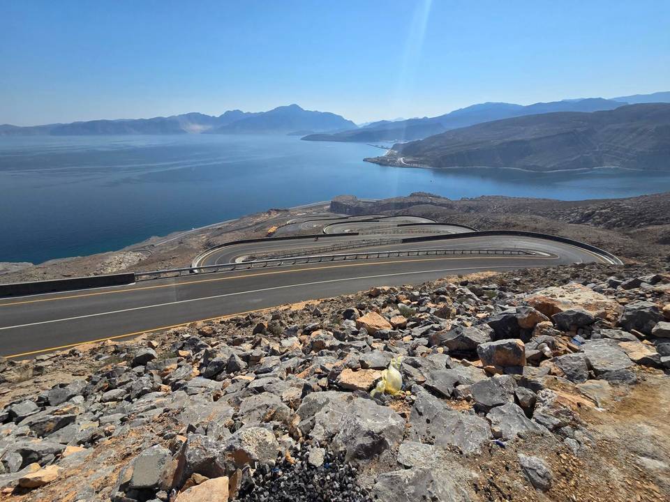
Road · Oman
A rolling 147 km road cycling loop from Khasab, Musandam through Tibat, Hil and As Salyan, with 979 m of climbing over the Mūkhī climb. Most of it (129 km) is on main roads without a cycle lane, 74.7 km where the limit is 80 km/h or more. There is a 32 km stretch without a café, shop or water (km 45–77).
This loop ride starts and finishes in Khasab, covering 146.6 km with 768 m of elevation gain. The route begins through the towns of Tibat at 4.2 km, Ghamḑā’ at 9.2 km, and Fadgha at 10.6 km. Climbing starts around 25 km with a 2.6 km ascent gaining 154 m at an average gradient of 5.9%, reaching 193 m near Jabal Mustah past 27.7 km. The first half contains 78% of the total climbing.
The ride follows a mix of main roads and major roads, with 61% on major roads and 31% on main roads. Notably, 129 km are on main roads without cycle lanes, with 74.7 km on roads posted at 80 km/h or above. The surface is 99% paved. Facilities such as cafés, restaurants, shops, water, and toilets are available but note the longest stretch without any café, shop or water is 32.1 km between 44.5 km and 76.6 km. There are two climbs, the second starting at 108.3 km, 3.4 km long with 174 m gained at 5.2% average gradient. The route loops through several towns before returning to Khasab.
Along the way are petrol stations at 12.4 km, 44.5 km, and 100.5 km. Food options include cafés at 43.4 km, restaurants at 76.6 km, 93.3 km, and 100.5 km, and fast food near 13.9 km and 121 km. Several toilets lie on the route at 19.4 km, 25.8 km, 38.4 km, 94.8 km, and 117.8 km. The highest point is 193 m, the lowest at sea level around 98.2 km, with a longest descent of 2.6 km dropping 166 m.
| Climb | Starts at | On this ride | Full ascent | Top on this ride |
|---|---|---|---|---|
| Unnamed climb | 25 km | 2.6 km · 154 m · 5.9 % · max 11.3 % | — | 193 m |
| Mūkhī climb | 108.3 km | 3.4 km · 174 m · 5.2 % · max 13.9 % | 3.1 km · 182 m · 5.9 % | 190 m |
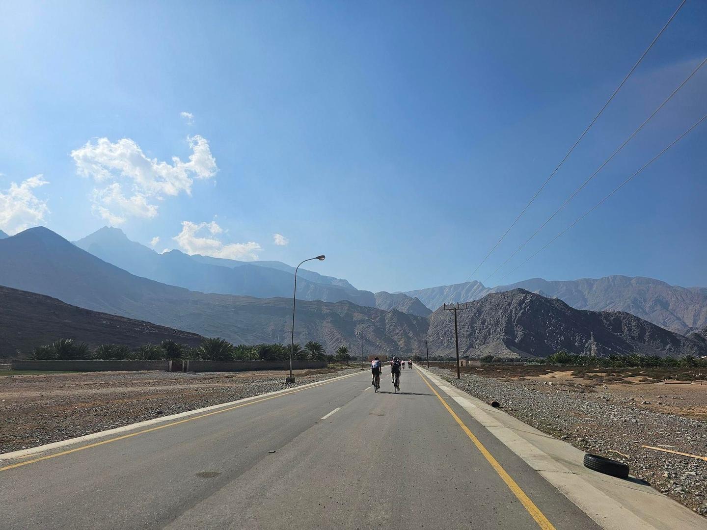
This is not a cycle-track route: 88% is on main roads without a cycle lane, 74.7 km of it where the limit is 80 km/h or more. Riders should be comfortable sharing the road with faster traffic.
The longest stretch without a café, shop or water is 32 km, from km 45 to 77. Along the route: 12 cafés and restaurants, 3 shops, 3 water points, 3 petrol stations and 5 public toilets.