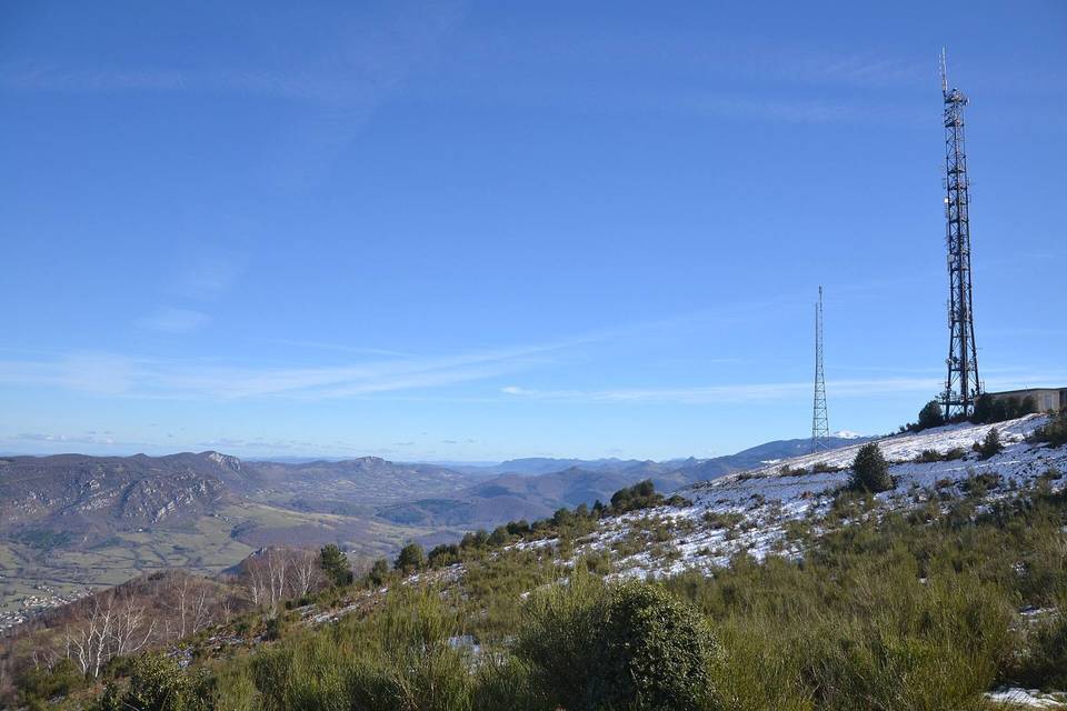
Col de Montségur from Lavelanet
- 11 km
- 526 m
- Easy
- Paved
Elevation profile
- 526 m
- 11 km
Route overview
Suitable for cyclists looking for a moderate 10.9 km climb with 526 m ascent.
10.9 km climb from Lavelanet to Col de Montségur with 526 m ascent on mainly paved roads.
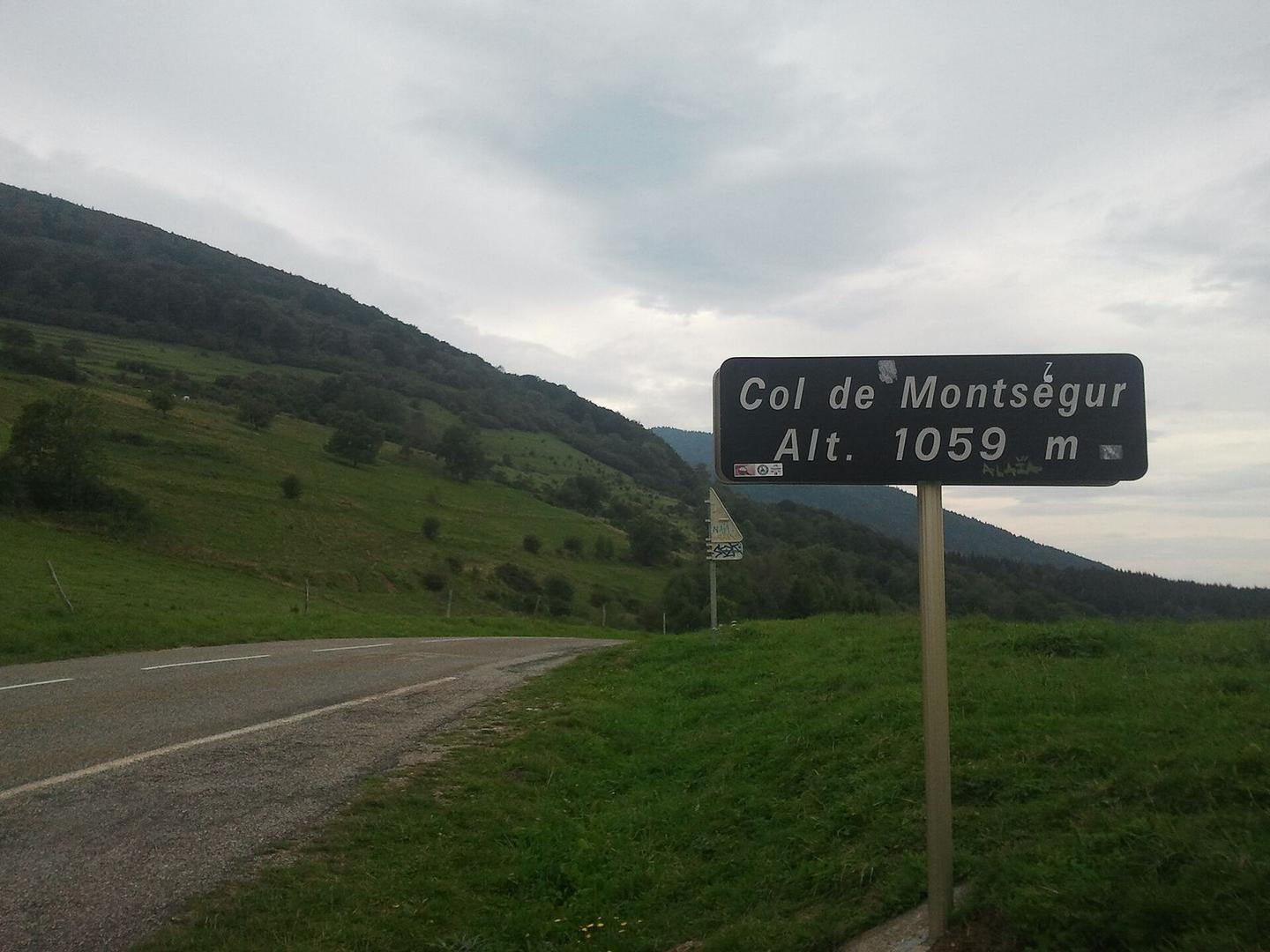
The route starts at Lavelanet at 524 m elevation and climbs 10.9 km to Col de Montségur at 1050 m. The profile features two main climbs: an initial 2.8 km section gaining 59 m at an average of 2.2%, followed by a longer 7.3 km climb averaging 6.2% with a maximum gradient of 9.8%. Most of the climbing occurs in the second half. The road surface is 98% paved, with only 2% gravel or unpaved. Road types include 8 km on main roads, 1.6 km on minor roads, and 1.1 km on quiet streets. The longest named road ridden is D 9 for 7.9 km. There are 8 km on main roads without cycle lanes, including 2.9 km on roads with speed limits of 80 km/h or more. Facilities along the route include shops, cafes, and toilets mostly near the start and at about 6.6-6.8 km, with the longest stretch without cafe, shop or water lasting 4 km from km 6.9 to 10.9. At the start in Lavelanet there are multiple eateries and bakeries.
Highlights
- Climb to Col de Montségur (1050 m)
- Long 7.3 km climb averaging 6.2%
- Road mainly on D 9 (7.9 km)
- Facilities near 6.6-6.8 km including café and water
Along the route
Climbs
| Climb | Starts at | Length | Gain | Average | Max | Top |
|---|---|---|---|---|---|---|
| — | 0.5 km | 2.8 km | 59 m | 2.2 % | 2.8 % | 589 m |
| Lavelanet climb | 3.6 km | 7.3 km | 454 m | 6.2 % | 9.8 % | 1050 m |
Lavelanet climb · starts at 3.6 km
What this ride is like
- Roads
- 73% main road · 15% minor road · 10% quiet street
- Main roads
- 8 km on main roads without a cycle lane — likely busier
- Fast roads
- 2.9 km on roads with a limit of 80 km/h or more
- Main roads used
- D 9 (8 km)
- Surface
- Paved throughout
- Gradient
- 92% climbing · 1% descending · 7% flat
- Steep sections
- 4.9 km over 5% · 2.8 km over 8%
Along the way
Food, water and shops
- 0 kmToilets · 140 m off route
- 0.1 kmL'Epi Cathare · bakery · on the route
- 1.4 kmSuper U · petrol station · 250 m off route
- 1.5 kmSuper U · supermarket · 240 m off route
- 3.1 kmPharmacie du Pays d'Olmes · pharmacy · on the route
- 6.6 kmMaison de la Montagne · café · 70 m off route
- 6.6 kmToilets · on the route
- 6.8 kmLa Fount de Sicre · drinking water · on the route
At the start
- L'Epi Cathare · bakery · 90 m
- CAFé'IN · café · 120 m
- Recoules, Artisan Boulanger · bakery · 200 m
- Le Rond Point · restaurant · 40 m
- Mas & Beli · fast food · 90 m
Stay after this ride
- La Serre de Marou · guest house · 880 m from the finish
- Le Pèlerin · hotel · 870 m from the finish
- Camping municipal · campsite · 1.0 km from the finish
Practical information
- Paved
- Point to point
- 47 min
Know before you go
- 8 km on main roads without cycle lane
- 2.9 km on roads 80 km/h or more
- 4 km with no café, shop or water from km 6.9