Cyclists.com

Plateau de Beille from Les Cabannes

14 km road cycling route1,245 m climbing1 h 01 minGPX

Les Cabannes, France · Road

A mountainous 14 km road cycling route from Les Cabannes through Château-Verdun and Aston, with 1,245 m of climbing over the Les Cabannes climb.

Routed from the map This classic road was traced on OpenStreetMap and measured against the terrain model; no member has recorded it yet. Ridden it? Add your recording and photos.

Download GPXMap

At a glance

Best for
Short, climbing-heavy rides
Distance
14.3 km
Point to point
Elevation gain
1,245 m
87 m per km
Riding time
1 h 01 min
moving time, estimated
Difficulty
Moderate
Bike
Road bike
Surface
Paved
Best months
May to Oct
Les Cabannes climate, 10 years
Navigation
GPX download
free, no sign-in
Start → finish
Les Cabannes

Map and elevation profile

Elevation profile

Total ascent
1,245 m
Distance
14 km
05001,0001,5002,000m0 km51014 km1,782 m · highest, at 14.3 kmStartFinish

Route description

  1. Les Cabannes
  2. Les Cabannes climb
  3. Château-Verdunkm 1
  4. Astonkm 2

The route starts in Les Cabannes at 537 m and climbs continuously for 14.3 km to Plateau de Beille at 1782 m, gaining 1245 m, making it a sustained climb with an average gradient of 8.7% and sections up to 23.8%. The first half of the climb contains 53% of the elevation gain. The road is mainly minor roads (92%) with about 0.8 km on paths (6%) and 92% of the surface is paved, with 8% gravel or unpaved. The D 522 road is followed for 12.2 km.

Along the route, facilities are limited with no cafes, shops, or water points from 0.2 km to 14.3 km. At the start in Les Cabannes, there are multiple places to refuel or buy supplies including a bakery, convenience stores, restaurants, a bar, toilets, and drinking water very close to the road. The plateau finish offers a convenience store and a water point. Notable peaks near the road include Pierrefitte at 10.9 km and Sarrat des Auzels at 11.6 km.

Why ride this route?

  • Climbs the Les Cabannes climb (14.3 km at 8.7 %).
  • Tops out at 1,782 m, 14.3 km in.

Highlights

  • Sustained 14.3 km climb to 1782 m
  • Pierrefitte peak at 10.9 km
  • Sarrat des Auzels peak near 11.6 km
  • Longest stretch without café or shop 14.1 km from 0.2 km

Along the route

Measured from the route line, the Copernicus elevation model and OpenStreetMap.

On the road

  • Water 0 km
  • La Maison Lacube (Restaurant) 0 km
  • Water 0 km
  • La tute (Restaurant) 0 km
  • Le cabanna (Restaurant) 0 km
  • Beaucoup (Restaurant) 0.2 km
  • Water 14.3 km

Climbs

Climbs in ride order: where each starts, what this ride climbs, and the full named ascent
ClimbStarts atOn this rideFull ascentTop on this ride
Les Cabannes climb0 km14.3 km · 1244 m · 8.7 %14.3 km · 1244 m · 8.7 %1782 m

High point 1782 m at 14.3 km; low point 537 m. Passes beneath Pierrefitte, Sarrat des Auzels.

On this ride: the part this route climbs, cut from its own elevation profile. Full ascent: the whole named climb, measured the same way on every ride that uses it (its climb page).

A point maximum far steeper than the climb’s average is usually an elevation-data spike, so the steepest 500 m of the profile is shown instead (or nothing, where the profile is too coarse).

Les Cabannes climb · full ascent, starts at 0 km

14.3 km at 8.7% · 1244 m
6008001,0001,2001,4001,600m16%14%6.6%8.6%7.9%9.3%9.2%8.2%6.1%7.8%6.8%5.4%0 km1234567891011121314.2 km1,782 msteepest 16.0%
< 4%4 – 7%7 – 10%> 10%

Know before you go

  • 14.1 km with no café, shop or water from 0.2 km onwards
  • 0.8 km of path (unpaved)

Routes are for inspiration. Roads, surfaces and conditions change — check locally and ride within your limits.

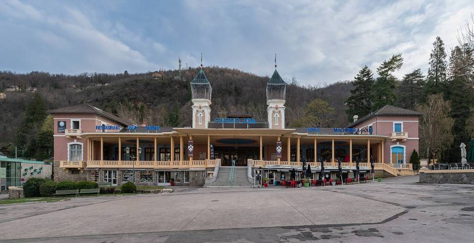
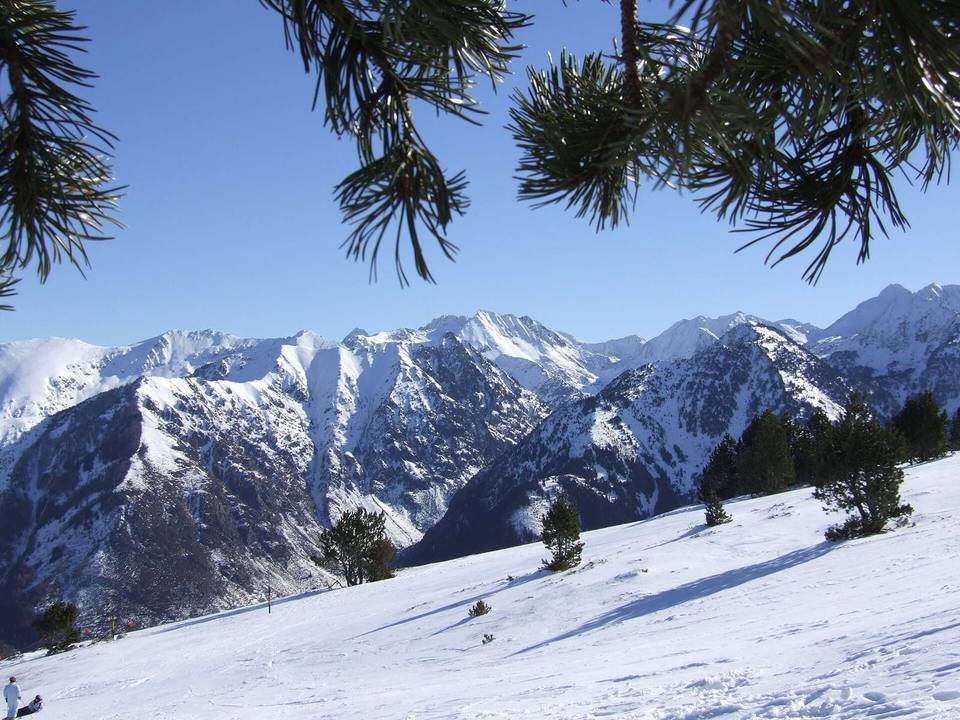
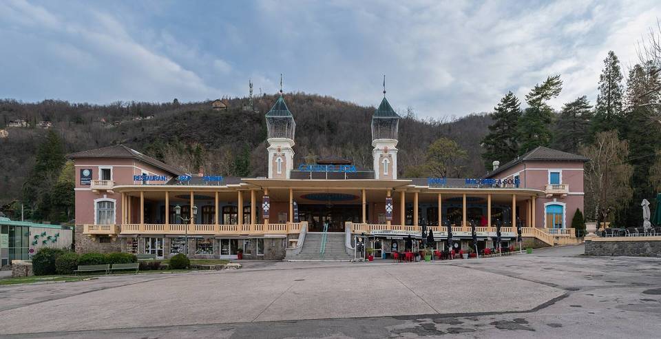
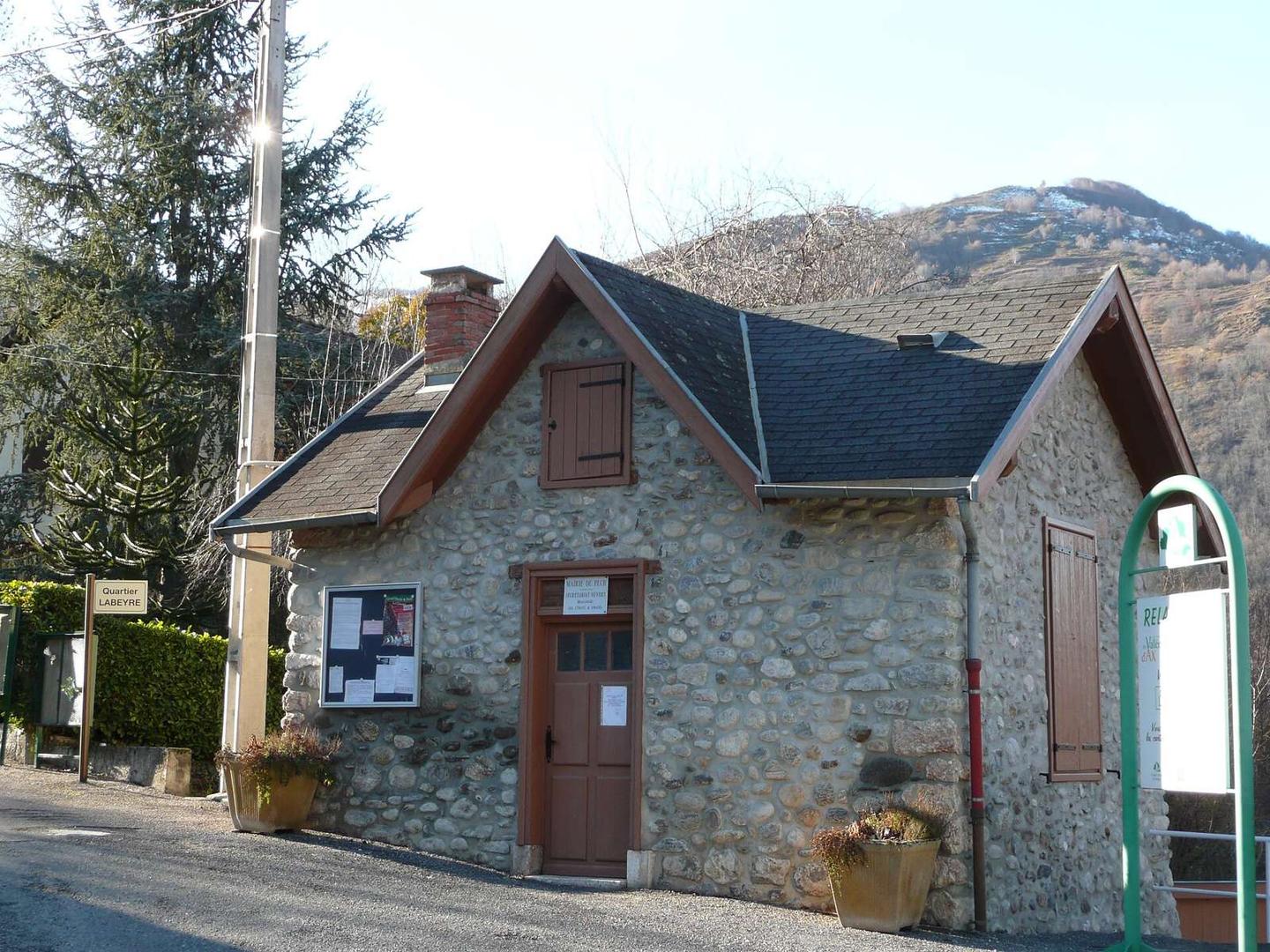
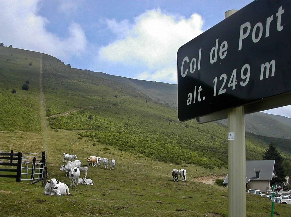
2 photographs from the road

Photo: Pey09 · Public domain · Wikimedia Commons · Photo: Rulhe · CC BY-SA 4.0 · Wikimedia Commons

About this route

Route line
Routed on OpenStreetMap roads with bicycle routing, then measured like a recorded ride.
Elevation
Recalculated from the Copernicus GLO-90 terrain model every 50 m, not the device’s barometer.
Best months
Ten years of ERA5 weather for Les Cabannes (Open-Meteo).
GPX
Generated from the route line: track points only, no timestamps or personal data.
Page added
Page last updated

See something wrong with this ride?

Rides starting nearby