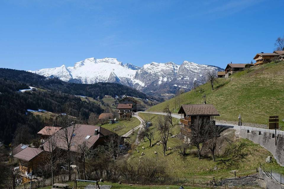
Col de la Colombière from Le Grand-Bornand
- 11 km
- 686 m
- Easy
- Paved
Elevation profile
- 686 m
- 11 km
Route overview
Suitable for cyclists looking for a challenging 10.8 km climb with 686 m of elevation gain.
Climb 10.8 km from Le Grand-Bornand to Col de la Colombière, France, gaining 686 m at an average 6.4%.
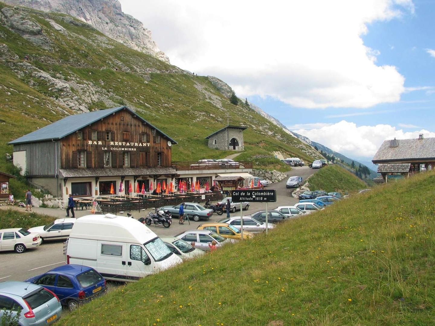
Starting in Le Grand-Bornand at 926 m, the route follows a 10.8 km climb to Col de la Colombière, reaching 1612 m. The climb averages 6.4% with a maximum gradient of 10.5%, mostly uphill (99%), with 7.9 km over 5% gradient and 2.3 km over 8%. It passes several places including Les Frasses, La Bouvardière, Le Chinaillon, and Les Bouts. The road surface is 96% paved with a very small portion (3%) gravel. The route mainly follows the D 4 (8.3 km), a main road without a cycle lane, with some quiet streets and minor roads. On this stretch, 2.5 km have posted speed limits of 80 km/h or more. The longest stretch without facilities like cafes, shops, or water runs 3.8 km from 0.7 km to 4.5 km. At the start, Le Grand-Bornand provides cafes, bakeries, a supermarket, bars, and drinking water. Along the route, shops and drinking water are found near 5.9 km, and a bike rental is at 6.2 km. At the summit, the La Colombière restaurant is available. A viewpoint named Cascade mystérieuse is close by at 4.4 km.
Highlights
- Col de la Colombière summit at 1612 m
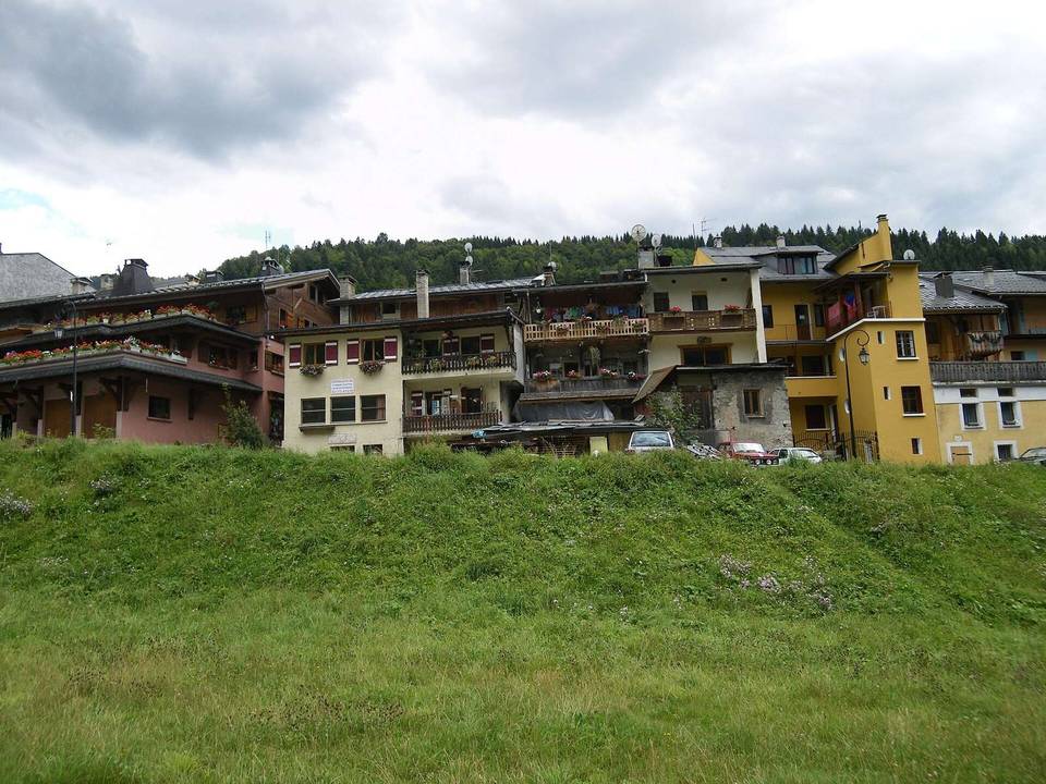
- Village of Le Grand-Bornand start
- Peak Le Chapeau at 1832 m nearby
- Cascade mystérieuse viewpoint at 4.4 km
Along the route
Places passed
Climbs
| Climb | Starts at | Length | Gain | Average | Max | Top |
|---|---|---|---|---|---|---|
| Pointe de la Botte | 0 km | 10.8 km | 686 m | 6.4 % | 10.5 % | 1612 m |
Pointe de la Botte · starts at 0 km
What this ride is like
- Roads
- 77% main road · 15% quiet street · 5% minor road
- Main roads
- 8.3 km on main roads without a cycle lane — likely busier
- Fast roads
- 2.5 km on roads with a limit of 80 km/h or more
- Main roads used
- D 4 (8 km)
- Surface
- Paved throughout
- Gradient
- 99% climbing · 1% descending · 0% flat
- Steep sections
- 7.9 km over 5% · 2.3 km over 8% · 0.5 km over 10%
Along the way
Food, water and shops
- 0 kmAravis Café I Brunch I Apéritif · café · on the route
- 0 kmSpar · supermarket · 80 m off route
- 0 kmPharmacie du Grand Bornand · pharmacy · 40 m off route
- 0.1 kmDrinking water · 80 m off route
- 0.1 kmToilets · on the route
- 4.5 kmElan · petrol station · on the route
- 5.4 kmDrinking water · 130 m off route
- 5.9 kmSherpa · convenience store · on the route
- 6.2 kmLe petit marquis · bakery · on the route
- 6.2 kmARAV'E-BIKE · bike rental · on the route
- 8.6 kmDrinking water · 160 m off route
- 10.8 kmLa Colombière · restaurant · on the route
Worth a stop
- 4.4 km — Cascade mystérieuse (viewpoint)
At the start
- Aravis Café I Brunch I Apéritif · café · 30 m
- Pâtisserie Boulangerie Maison Bétemps · bakery · 50 m
- L'Optraken · café · 30 m
- Boulangerie pâtisserie Vulliet · bakery · 100 m
- Spar · supermarket · 80 m
At the finish
- La Colombière · restaurant · 30 m
Stay after this ride
- Cortina · hotel · 2.3 km from the finish
- Crémallière · hotel · 2.4 km from the finish
- L'Alpage · hotel · 2.4 km from the finish
- Le Roc des Tours · apartment · 2.6 km from the finish
- Le Village de Lessy · hotel · 2.5 km from the finish
Practical information
- Paved
- Point to point
- 46 min
Know before you go
- 8.3 km on main roads without cycle lanes
- 2.5 km on roads with 80 km/h+ speed limits
- 3.8 km longest stretch without cafe, shop or water (km 0.7 to 4.5)
- 0.5 km gravel or unpaved sections