Cyclists.com

Regional Cycle Route 32

Llantrisant, Monmouthshire, United KingdomRoad

Signed route The waymarked Regional Cycle Route 32 (regional route), traced from OpenStreetMap and measured against the terrain model; no member has recorded it yet. Ridden it? Add your recording and photos.

17 km
Distance
98 m
Elevation gain
Easy
Difficulty
Paved
Surface
Download GPXMap

Elevation profile

Total ascent
98 m
Distance
17 km
050100150200250300m0 km5101517 km250 m · highest, at 2.9 kmStartFinish

Route overview

This short and gently undulating ride suits cyclists looking for a moderate distance with some climbing.

Regional Cycle Route 32 in Monmouthshire runs 17.3 km from Llantrisant to Tintern with 98 m climbing.

Starting near Llantrisant, the route reaches its highest point of 249 m at 2.9 km close to Golden Hill (274 m). It passes through Newchurch at 6.2 km, Kilgwrrwg Common at 8.4 km, and Devauden at 10.2 km. The terrain descends mainly in the second half, with a long 5.6 km descent dropping 201 m from 11.6 km to the finish. The route is mostly on minor roads (94%) with 0.5 km on main roads, including 3.4 km on roads with a speed limit of 80 km/h or more. Almost the entire surface is paved (99%). Facilities such as water, shops, and food are limited until Tintern after 10.2 km, where there is a convenience store, cafés like The Filling Station Cafe and The Hub Tintern, pubs, toilets, and a bike repair stand. The route includes Old Road for 3.9 km. Points of interest near the road include Wentwood (309 m) at the start and Golden Hill at 2.9 km. A viewpoint with picnic tables is near the finish at 17.1 km.

Highlights

  • Golden Hill peak at 2.9 km
  • Wentwood peak near start
  • Long 5.6 km descent from 11.6 km
  • Picnic tables at 17.1 km near Tintern

Along the route

Measured from the recorded track and OpenStreetMap.

Places passed

  1. Newchurch 6.2 km
  2. Kilgwrrwg Common 8.4 km
  3. Devauden 10.2 km

What this ride is like

Measured from OpenStreetMap along the track and the elevation profile.

Roads
94% minor road · 3% main road
Fast roads
3.4 km on roads with a limit of 80 km/h or more
Main roads used
Old Road (4 km)
Surface
Paved throughout
Gradient
15% climbing · 43% descending · 42% flat
Longest descent
5.6 km from 11.6 km, dropping 201 m

Along the way

Within a few hundred metres of the track, from OpenStreetMap. Opening hours change — treat this as where to look, not a promise.

Food, water and shops

  1. 0 kmFfynnon Nef · spring · 210 m off route
  2. 10.2 kmSevern Fuels · petrol station · 210 m off route
  3. 17.1 kmThe Filling Station Cafe · café · 80 m off route
  4. 17.3 kmAbbey Stores · convenience store · on the route
  5. 17.3 kmToilets · 270 m off route
  6. 17.3 kmRepair stand · on the route

Worth a stop

  • 2.9 kmGolden Hill (peak, 274 m)
  • 17.1 kmPicnic Tables (viewpoint)

At the start

  • Ffynnon Nef · spring · 210 m

At the finish

  • Ice Cream at The Hub Tintern · café · 30 m
  • The Filling Station Cafe · café · 90 m
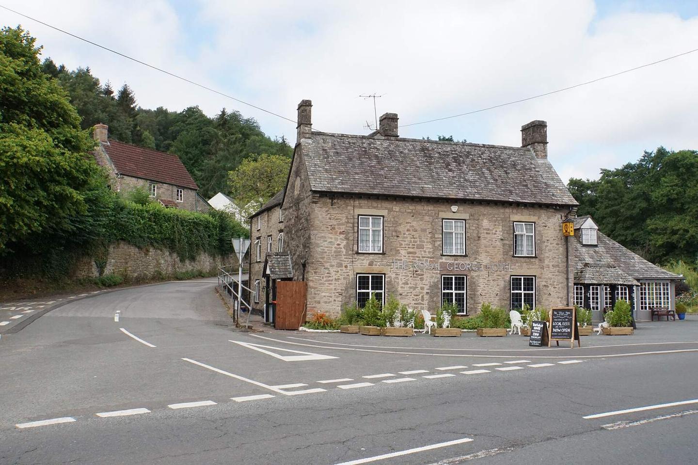
  • The Wild Hare · pub · 40 m
  • Abbey Stores · convenience store · 20 m
  • The Anchor Hotel · pub · 220 m

Stay after this ride

  • Tintern Old Rectory B&B · guest house · 650 m from the finish
  • Parva Farmhouse · guest house · 660 m from the finish
  • Beeches Farm Campsite · campsite · 1.9 km from the finish

Practical information

Surface
Paved
Route shape
Point to point
Riding time
1 h 14 min
Best months
Jun to Sep — daily highs of 18–21 °C in those months

Know before you go

  • 10.2 km with no café, shop or water after Newchurch
  • 3.4 km on roads with speed limits of 80 km/h or more

Routes are for inspiration. Roads, surfaces and conditions change — check locally and ride within your limits.

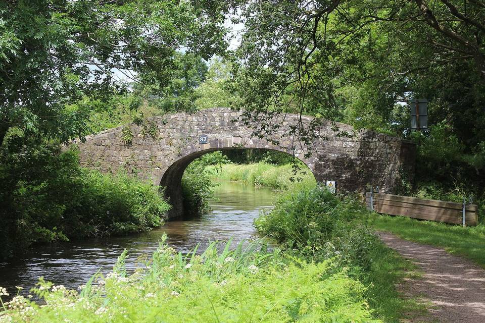
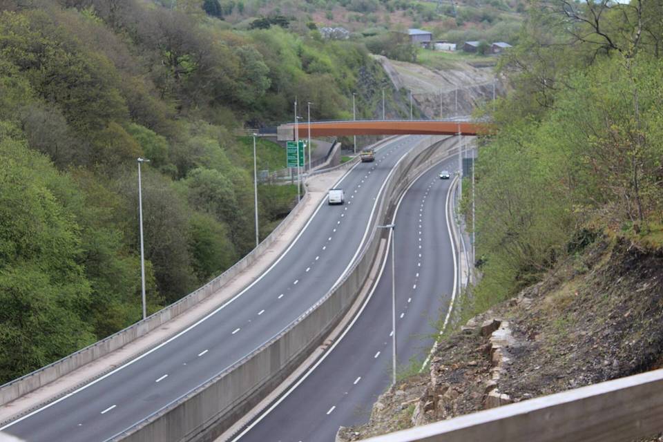
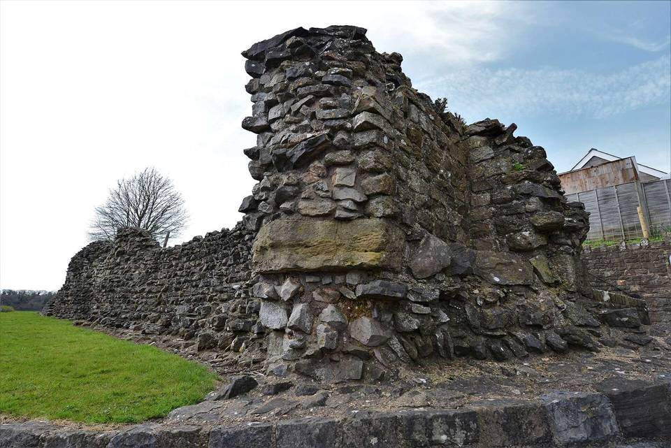
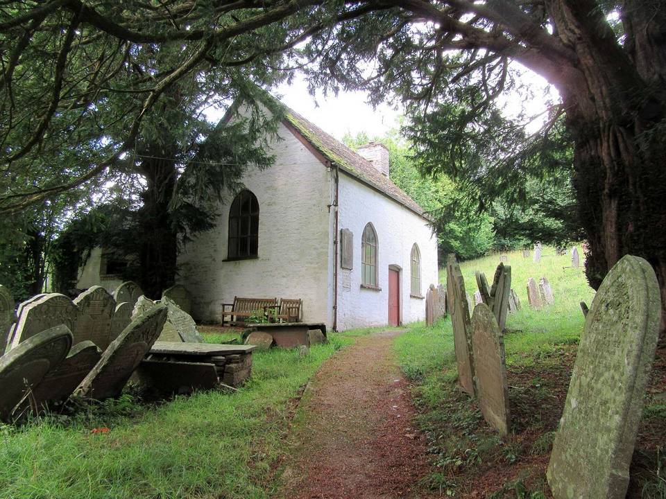
2 photographs from the road

Photo: Bill Boaden · CC BY-SA 2.0 · Wikimedia Commons · Photo: Jonathan Billinger · CC BY-SA 2.0 · Wikimedia Commons