National Cycle Route 49
- 32 km
- 134 m
- Easy
- Mixed
Elevation profile
- 134 m
- 32 km
Route overview
This route suits riders comfortable with a medium distance and moderate climbing of 134 m over 32 km.
National Cycle Route 49 is a 32 km ride from Newport with 134 m of climbing through various suburbs to Llanfoist.
National Cycle Route 49 starts in Newport passing through Allt-yr-yn, Crindau, Barrack Hill, and Shaftesbury before reaching Malpas at 0.9 km. It continues through Bettws, Oakfield, Hollybush, and Cwmbrân around 7 km into the route. The route climbs gently from 7.1 km for 2 km, gaining 47 m with an average gradient of 2.4%, reaching a high of 118 m. Beyond Pontypool at 12 km, the route leads to Mamhilad at 16.6 km and then on to Llanover at 24 km.
Highlights
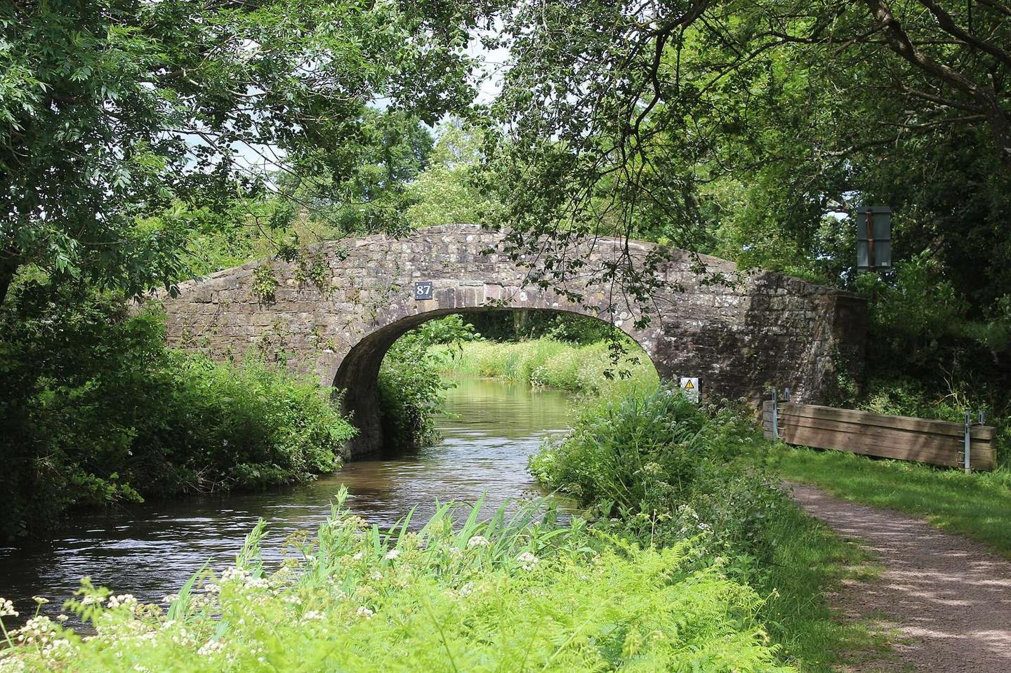
- 10.3 km on Monmouthshire Canal towpath
- Climb from 7.1 km, max gradient 3.1%
- Highest point 133 m at 31 km
- Near Coed y Prior peak at 27.5 km
Along the route
Places passed
Climbs
| Climb | Starts at | Length | Gain | Average | Max | Top |
|---|---|---|---|---|---|---|
| — | 7.1 km | 2 km | 47 m | 2.4 % | 3.1 % | 118 m |
What this ride is like
- Roads
- 50% path · 48% cycle path · 2% quiet street
- Cycle paths
- 15.4 km on cycle paths or roads with a cycle lane
- Main roads used
- Monmouthshire Canal towpath (10 km)
- Surface
- 42% paved · 56% gravel or unpaved
- Gradient
- 12% climbing · 3% descending · 84% flat
Along the way
Food, water and shops
- 0.3 kmPavilion Coffee · café · 190 m off route
- 1.5 kmPremier · convenience store · 150 m off route
- 5.5 kmWaterloo Inn · pub · on the route
- 5.8 kmToilets · 110 m off route
- 5.8 kmShell · petrol station · 100 m off route
- 6.3 kmBoots · pharmacy · on the route
- 6.8 kmSainsbury's · supermarket · 60 m off route
- 10.2 kmGrounded Coffee & Wellness · café · 90 m off route
- 11.9 kmAldi · supermarket · 150 m off route
- 12.2 kmWater tap · on the route
- 16.6 kmThe Star Inn · pub · 130 m off route
- 21.5 kmPenelope’s Café · café · 60 m off route
- 30.4 kmSpice Lounge · restaurant · 390 m off route
Need to bail out?
- 0 km — Newport (station), 1.3 km off route
- 6.9 km — Cwmbran (station), 840 m off route
- 13.2 km — Pontypool and New Inn (station), 410 m off route
At the start
- Pavilion Coffee · café · 350 m
- Lyceum Tavern · pub · 370 m
- Lifestyle Express · convenience store · 310 m
- Malpas Unionist Club · pub · 990 m
- Harvester · restaurant · 930 m
Stay after this ride
- Premier Inn Abergavenny hotel · hotel · 1.8 km from the finish
- Pegasus Court · apartment · 2.4 km from the finish
- Pyscodlyn Camping and Caravan Site · campsite · 2.0 km from the finish
- Abergavenny B&B · guest house · 2.3 km from the finish
- Abergavenny Hotel · hotel · 2.5 km from the finish
Practical information
- Mixed
- Point to point
- 2 h 18 min
- Jun to Sep — daily highs of 18–21 °C in those months
Know before you go
- Longest stretch without café, shop, or water for 6.3 km from 24.1 to 30.4 km