
Cyclists.com

Lourinha – Alenquer

Lourinha, Lisbon, PortugalRoad

106 km
Distance
1,046 m
Elevation gain
Hard
Difficulty
Paved
Surface
Download GPXMap
On the road: Lourinha – Alenquer
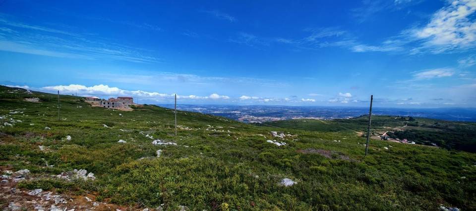
AI image

Elevation profile

Total ascent
1,046 m
Distance
106 km
0100200300400m0 km255075106 km326 m · highest, at 27.4 kmStartFinish · back at the start

Route overview

Suited for riders comfortable with 105 km distance and over 1000 m of climbing.

105.9 km loop route in Lisbon, Portugal from Lourinha to Alenquer and back, climbing 1046 m.

Starting from Lourinhã at 2.6 km, the route heads through several villages including Nadrupe at 5.1 km, Miragaia at 6.6 km, and Campelos at 12 km. The first climb begins just after 8.8 km, lasting 2.7 km at an average gradient of 3% reaching 105 m height. The main climb starts near 23.3 km, spanning 3 km with a gain of 242 m, averaging 8% and peaking at 19%, topping out at 324 m near Vilar. The route then passes Olhalvo at 36.9 km with milder climbs of 64 m and 68 m over 2-2.4 km stretches afterwards. The halfway point with Alenquer at 51.8 km arrives after a brief climb of 42 m over 1.5 km. The second half includes minor climbs up to 51 m and 50 m between 80-93 km. The route returns west passing through Matacães, Torres Vedras at 80.3 km, and Pregança do Mar at 95 km before completing the loop back close to Lourinhã. Surface is mostly paved (96%) with 3% gravel/unpaved. It travels mainly on main roads (72.4 km), all without cycle lanes. Food and drink options exist at multiple points, notably cafés near km 2.4, 11.7, 17.8, 26.5, and 80.3. Longest café/shop/waterless stretch is 11.1 km from 65.2 to 76.3 km. There are bike shops near km 79.5 and several bailout points including Outeiro at 17.8 km and Torres Vedras at 80.3 km.

Highlights

  • Main climb of 3 km at 8% average gradient near Vilar
  • Passing through Alenquer at 51.8 km
  • Peaks Outeiro da Cabeça (180 m) and Coteina (218 m) near route
  • Longest descent of 4.5 km from 32.2 km dropping 138 m

Along the route

Measured from the recorded track and OpenStreetMap.

Places passed

  1. Lourinhã 2.6 km
  2. Nadrupe 5.1 km
  3. Miragaia 6.6 km
  4. Ribeira de Palheiros 10.5 km
  5. Campelos 12 km
  6. Outeiro da Cabeça 17.6 km
  7. Vilar 23.7 km
  8. Avenal 25.3 km
  9. Casais do Chorão 26.5 km
  10. Vila Verde dos Francos 29 km
  11. Portela 31.1 km
  12. Casais de Portela 31.3 km
  13. Ventosa 33.4 km
  14. Atalaia 34.1 km
  15. Cruzeiro 36.8 km
  16. Olhalvo 36.9 km
  17. Pocariça 38 km
  18. Ota 45.4 km
  19. Casal do Vale Carlos 45.6 km
  20. Cheganças 49 km
  21. Alto da Boavista 51.1 km
  22. Alenquer 51.8 km
  23. Porto da Luz 54.2 km
  24. Tojal 60.6 km
  25. Mossorovia 61.2 km
  26. Aldeia Gavinha 62.2 km
  27. Aldeia Galega da Merceana 63.4 km
  28. Merceana 64.4 km
  29. Arneiro 65.8 km
  30. Paiol 66.7 km
  31. Forno da Telha 67.1 km
  32. Carvoeira 69.8 km
  33. Matacães 75.7 km
  34. Ordasqueira 76.3 km
  35. Torres Vedras 80.3 km
  36. Vale de Azenha 82.8 km
  37. Pregança do Mar 95 km
  38. Marquiteira 97.7 km
  39. Santa Bárbara 98.4 km

Climbs

ClimbStarts atLengthGainAverageMaxTop
8.8 km2.7 km82 m3 %5.4 %105 m
Vilar climb23.3 km3 km242 m8 %19 %324 m
36.6 km2 km64 m3.2 %5.3 %139 m
40.6 km2.4 km68 m2.8 %3.7 %215 m
49.7 km1.5 km42 m2.9 %4.9 %80 m
80.3 km2 km51 m2.6 %4.2 %81 m
90 km1.8 km51 m2.8 %4 %112 m
93.3 km1.5 km50 m3.3 %5.2 %147 m

High point 324 m at 26.4 km; low point 8 m. Passes beneath Outeiro da Cabeça, Cabeça Gorda, Relva.

Vilar climb · starts at 23.3 km

3 km at 8% · 242 m
100150200250300m14%0 km122.8 km324 msteepest 14.3%
< 4%4 – 7%7 – 10%> 10%

What this ride is like

Measured from OpenStreetMap along the track and the elevation profile.

Roads
71% main road · 18% minor road · 7% quiet street · 2% track
Main roads
72.5 km on main roads without a cycle lane — likely busier
Fast roads
1 km on roads with a limit of 80 km/h or more
Main roads used
EN 9 (25 km), EN 8-2 (10 km), EN 361-1 (10 km), EN 115 (5 km)
Surface
Paved throughout
Gradient
21% climbing · 20% descending · 59% flat
Steep sections
2 km over 5% · 1.6 km over 8% · 1.5 km over 10% · steepest 500 m averages 13.7% at 26.3 km
Longest descent
4.5 km from 32.2 km, dropping 138 m

Along the way

Within a few hundred metres of the track, from OpenStreetMap. Opening hours change — treat this as where to look, not a promise.

Food, water and shops

  1. 2.1 kmLOURICOOP · petrol station · on the route
  2. 2.4 kmVilla Park · café · 60 m off route
  3. 2.6 kmDrinking water · 200 m off route
  4. 11.7 kmAdega da Vila · café · 70 m off route
  5. 12 kmFarmácia Campelos · pharmacy · 90 m off route
  6. 18.9 kmLusoceram · supermarket · 160 m off route
  7. 29.4 kmDrinking water · 90 m off route
  8. 47.3 kmGalp · petrol station · 40 m off route
  9. 53.8 kmToilets · 90 m off route
  10. 64.3 kmAuto Júlio · petrol station · 80 m off route
  11. 64.4 kmFrutaKores · café · 40 m off route
  12. 64.4 kmToilets · 90 m off route
  13. 76.3 kmWater tap · 200 m off route
  14. 79.5 kmBicicletas Agostinhas Estação 11 · bike rental · 50 m off route
  15. 80.3 kmXeirinho · café · 120 m off route
  16. 80.3 kmRepsol · petrol station · on the route
  17. 88.5 kmPrio · petrol station · 40 m off route
  18. 90.2 kmWater tap · 90 m off route

Need to bail out?

  • 17.8 kmOuteiro (station), 280 m off route
  • 74.2 kmRuna (halt), 500 m off route
  • 80.3 kmTorres Vedras (station), 730 m off route

Whether bikes are carried depends on the service — check before relying on it.

Worth a stop

  • 2.4 kmBaloiço adaptado da Lourinhã (attraction)
  • 29.4 kmFonte Medieval de Vila Verde dos Francos (attraction)
  • 40.2 kmCoteina (peak, 218 m)
  • 45.2 kmParque de Merendas da Serra da Ota (picnic site)
  • 51.8 kmCastelo de Alenquer (castle)
  • 76.9 kmAbrigo da Carrasca (archaeological site)

Practical information

Surface
Paved
Route shape
Loop
Riding time
4–5½ hours riding
Season
July with temperatures around 25°C.

Know before you go

  • 72.5 km on main roads without cycle lanes
  • 1 km fast road with speed limit 80 km/h+
  • Gravel or unpaved sections total 3% of route
  • Longest stretch without café, shop, or water is 11.1 km from km 65.2 to 76.3

Routes are for inspiration. Roads, surfaces and conditions change — check locally and ride within your limits.

More rides from Lourinha