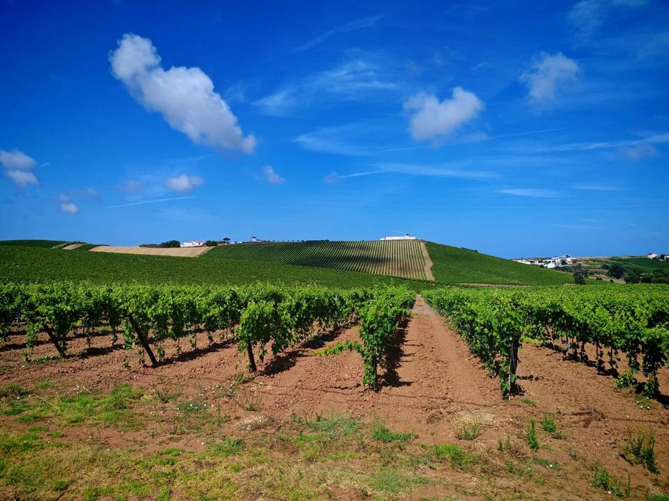
Road · Portugal
Lourinha – Ventosa
A mountainous 96 km road cycling loop from Atalaia, Lisbon through Lourinhã, Avenal and Cortegana, with 1,443 m of climbing over Vilar climb (324 m) and Montejunto. Most of it (53.9 km) is on main roads without a cycle lane. There is a 23 km stretch without a café, shop or water (km 24–46).
At a glance
- Best for
- Hilly days out for confident riders at ease in traffic
- Distance
- 95.9 km
- Elevation gain
- 1,443 m
- Riding time
- 4½–6 hours
- Difficulty
- Hard
- Bike
- Road bike
- Surface
- Mostly paved
- Traffic
- Mostly main roads
- Food & water
- Longest gap 23 km
- Best months
- May to Sep
- Navigation
- GPX download
- Start and finish
- Atalaia
Map and elevation profile
Elevation profile
- 1,443 m
- 96 km
Route description
- Atalaia
- Lourinhã
- Vilar climb (324 m)
- Avenal
- Montejunto
- Cortegana
- Arneiro climb
- Casais Brancos
- Abrunheira
- Atalaia
Starting from Atalaia, the route passes through Lourinhã at 2.5km and travels mainly on 53.8km of main roads without cycle lanes, including parts of EN 115 and EN 361-1. The profile includes substantial climbing, especially after 23.6km, with a 2.5km climb gaining 170m at an average of 6.8%, max 14.8%. Another long climb of 11.4km begins at 29.1km, gaining 565m and reaching 652m elevation near Montejunto at 40.5km.
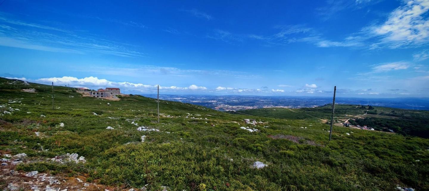
After cresting the highest point, the route descends for nearly 4km and continues through many small places including Vila Verde dos Francos at 32.6km and Maxial at 67.5km. Additional climbs include a 3.6km section starting at 59km with 180m gain, and several smaller climbs under 3km each near the end. The surface is 96% paved, with minor gravel and track sections. Food and drink options cluster early and late on the ride, with the longest stretch without café, shop or water lasting 22.6km between km 23.5 and 46.1. Bailout points with railway stations are at 17.9km and 71.4km.
Why ride this route?
- The most climbing per kilometre of the 10 rides from Atalaia: 15 m per km.
- Climbs Vilar climb (324 m) (3 km at 8 %), Montejunto (11.3 km at 5 %) and the Arneiro climb (3.6 km at 5 %).
- Tops out at 652 m, 40.5 km in.
Highlights
- Climb to Montejunto peak at 652m
- Villages of Vila Verde dos Francos and Maxial
- Longest descent of 3.9km dropping 247m
- Several cafés and restaurants along the route
Along the route
Places passed
Climbs
| Climb | Starts at | On this ride | Full ascent | Top on this ride |
|---|---|---|---|---|
| Unnamed climb | 9 km | 2.8 km · 84 m · 3 % · max 5.3 % | — | 108 m |
| Vilar climb (324 m) | 23.6 km | 2.5 km · 170 m · 6.8 % · max 14.8 % | 3 km · 242 m · 8 % | 251 m |
| Montejunto | 29.1 km | 11.4 km · 565 m · 5 % · steepest 500 m 8.2 % | 11.3 km · 565 m · 5 % | 652 m |
| Arneiro climb | 59 km | 3.6 km · 180 m · 5 % · max 9.6 % | 3.6 km · 180 m · 5 % | 312 m |
| Unnamed climb | 79.5 km | 2.1 km · 54 m · 2.5 % · max 4 % | — | 115 m |
| Unnamed climb | 82.8 km | 1.9 km · 50 m · 2.7 % · max 4.7 % | — | 149 m |
| Unnamed climb | 89 km | 1.9 km · 80 m · 4.2 % · max 8.1 % | — | 94 m |
Vilar climb (324 m) · full ascent, starts at 23.6 km
< 4%4 – 7%7 – 10%> 10%
Montejunto · full ascent, starts at 29.1 km
Arneiro climb · full ascent, starts at 58.9 km
Traffic, surface and gradient
This is not a cycle-track route: 56% is on main roads without a cycle lane. Riders should be comfortable sharing the road with faster traffic.
- Roads
- 59% main road · 26% minor road · 11% quiet street · 2% track · 3% other roads and tracks
- Main roads
- 53.9 km on main roads without a cycle lane — likely busier
- Main roads used
- EN 115 (13 km), EN 361-1 (10 km), Rua de Montejunto (6 km), EN 361 (4 km)
- Surface
- Predominantly paved: 96% is mapped as paved, 3% as unpaved or gravel.
- Gradient
- 29% climbing · 28% descending · 43% flat
- Steep sections
- 9.5 km over 5% · 2.9 km over 8% · 1.5 km over 10% · steepest 500 m averages 11.7% at 26.4 km
- Longest descent
- 3.9 km from 45.2 km, dropping 247 m
Food, water and services
The longest stretch without a café, shop or water is 23 km, from km 24 to 46. Along the route: 30 cafés and restaurants, 12 shops, 10 water points, 7 petrol stations and 2 public toilets.
Food, water and shops in ride order
- 2.1 kmLOURICOOP · petrol station · 30 m off route
- 2.3 kmVilla Park · café · 90 m off route
- 2.7 kmDrinking water · 220 m off route
- 11.8 kmAdega da Vila · café · on the route
- 11.9 kmAmanhecer - Minimercado Zeca · convenience store · 40 m off route
- 17.7 kmCafé Central · café · 240 m off route
- 23.5 kmPrincesa de Alcântara · restaurant · 50 m off route
- 48.9 kmDrinking water · on the route
- 57.5 kmFrutaKores · café · 100 m off route
- 57.5 kmDrinking water · 150 m off route
- 57.5 kmPharmacy · on the route
- 58.2 kmIntermarché · petrol station · 80 m off route
- 63.2 kmWash House · drinking water · 110 m off route
- 67.3 kmDrinking water · on the route
- 75.9 kmK Bar · café · 60 m off route
- 75.9 kmMinimercado Santos · convenience store · 90 m off route
- 82.4 kmO Teimoso · restaurant · 140 m off route
- 88.5 kmDouble AM · café · 270 m off route
Need to bail out?
- 17.9 km — Outeiro (station), 280 m off route
- 71.4 km — Ramalhal (station), 120 m off route
Worth a stop
- 2.2 km — Baloiço adaptado da Lourinhã (attraction)
- 35.2 km — Moinho de Avis (attraction)
- 49.1 km — Fonte Medieval de Vila Verde dos Francos (attraction)
- 68.7 km — Gruta da Ermejeira (archaeological site)
Know before you go
- Longest stretch without café, shop or water: 22.6 km after 23.5 km
- 53.9 km on main roads without cycle lane
- Roads with speed limits 80 km/h or higher
- Gravel or unpaved sections 3%