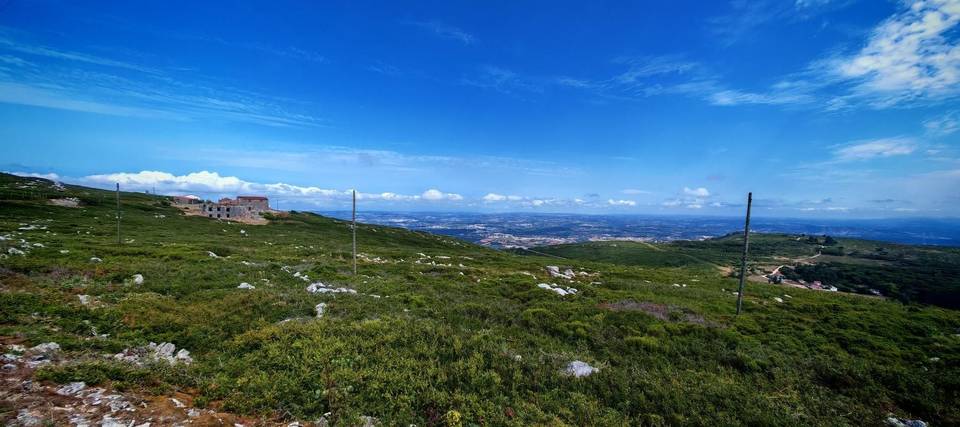
Road · Portugal
Lourinha – Torres Vedras via Silveira
A rolling 78 km road cycling loop from Atalaia, Lisbon through Santa Bárbara, Porto Novo and Casal Cochim, with 573 m of climbing. Most of it (56.2 km) is on main roads without a cycle lane, 7.6 km where the limit is 80 km/h or more.
At a glance
- Best for
- Rolling day rides for confident riders at ease in traffic
- Distance
- 78.2 km
- Elevation gain
- 573 m
- Riding time
- 3–4½ hours
- Difficulty
- Moderate
- Bike
- Road bike
- Surface
- Paved
- Traffic
- Mostly main roads
- Food & water
- Regular
- Best months
- May to Sep
- Navigation
- GPX download
- Start and finish
- Atalaia
Map and elevation profile
Elevation profile
- 573 m
- 78 km
Route description
- Atalaia
- Santa Bárbara
- Porto Novo
- Casal Cochim
- Casalinhos de Alfaiata
- Orjariça
- Matacães
- Ramalhal
- Campelos
- Atalaia
The route starts near Atalaia (0.9 km) and passes through a series of small places including Santa Bárbara, Ribamar, and Maceira before reaching Porto Novo at 10.3 km. It then continues through Póvoa de Penafirme, Boavista, and Casalinhos de Alfaiata, climbing steadily to a high point near 36 km. The first significant climb spans 2.3 km starting at 31.8 km with a gain of 77 m at an average 3.3% and max 5.8% gradient.
After Runa (37.6 km) and Torres Vedras (44 km), the route loops back passing Ramalhal, Campelos, and Nadrupe before the final climb of 1.7 km starting at 74.2 km with an average 4.9% and max 8.1% gradient. The route finishes back in Atalaia, descending from a peak altitude of 131 m, with a total elevation gain of 573 m. The surface is 97% paved with 74% on main roads, mostly without cycle lanes, and includes 7.6 km on roads with speed limits above 80 km/h.
There are cafes, bakeries, shops and bike shops scattered mostly near towns such as Ribamar, Silveira, Runa and Torres Vedras. Water and toilets are available mostly up to km 29.8 with the longest stretch without facilities stretching 6.8 km between 64.3 and 71.1 km. Bailout points are present in Torres Vedras and Ramalhal with stations nearby.
Highlights
- First climb starting at 31.8 km with 77 m gain
- Loop route passing Torres Vedras at 44 km
- Second climb near 74 km with 85 m gain
- Longest descent of 2.3 km from 65.9 km
Along the route
Places passed
Climbs
| Climb | Starts at | On this ride | Top on this ride |
|---|---|---|---|
| Unnamed climb | 31.8 km | 2.3 km · 77 m · 3.3 % · max 5.8 % | 124 m |
| Unnamed climb | 74.2 km | 1.7 km · 85 m · 4.9 % · max 8.1 % | 94 m |
Traffic, surface and gradient
This is not a cycle-track route: 72% is on main roads without a cycle lane, 7.6 km of it where the limit is 80 km/h or more. Riders should be comfortable sharing the road with faster traffic.
- Roads
- 74% main road · 14% minor road · 7% quiet street · 3% path · 2% other roads and tracks
- Main roads
- 56.2 km on main roads without a cycle lane — likely busier
- Fast roads
- 7.6 km on roads with a limit of 80 km/h or more
- Main roads used
- ER 247 (14 km), EN 8 (13 km), EN 9 (9 km), EN 361-1 (4 km)
- Surface
- Paved: 97% of the route is mapped as paved, 2% as unpaved.
- Gradient
- 19% climbing · 16% descending · 65% flat
- Steep sections
- 1.2 km over 5% · 0.3 km over 8% · steepest 500 m averages 8.2% at 0 km
- Longest descent
- 2.3 km from 65.9 km, dropping 78 m
Food, water and services
No stretch is longer than 15 km without a café, shop or water. Along the route: 111 cafés and restaurants, 27 shops, 18 water points, 13 petrol stations, 8 public toilets and 24 bike shops.
Food, water and shops in ride order
- 3.7 kmPrio · petrol station · on the route
- 5.4 kmAmanhecer - A Nossa Despensa · convenience store · on the route
- 5.4 kmFarmácia Ribamar · pharmacy · on the route
- 10.2 kmDrinking water · 60 m off route
- 18.5 kmLidl · supermarket · 110 m off route
- 18.8 kmAlf Bikes · bike shop · 80 m off route
- 22.4 kmBP · petrol station · on the route
- 24.4 kmDrinking water · 70 m off route
- 29.3 kmDrinking water · 50 m off route
- 29.8 kmToilets · 130 m off route
- 33.3 kmArrepiado · café · 30 m off route
- 43.7 kmBicicletas Agostinhas Estação 21 · bike rental · 30 m off route
- 44 kmFarmácia Calquinha · pharmacy · 40 m off route
- 44.4 kmDrinking water · 130 m off route
- 50.1 kmDrinking water · 180 m off route
- 56.7 kmDrinking water · 40 m off route
- 64.2 kmAmanhecer - Minimercado Zeca · convenience store · 30 m off route
- 64.3 kmAdega da Vila · café · on the route
Need to bail out?
- 43.5 km — Torres Vedras (station), 160 m off route
- 51.6 km — Ramalhal (station), 1.5 km off route
- 58 km — Outeiro (station), 430 m off route
Worth a stop
- 10.3 km — Parque de lazer de Porto Novo (picnic site)
- 37.7 km — Parque de Runa (picnic site)
- 41.4 km — Abrigo da Carrasca (archaeological site)
- 44.5 km — Reduto do Outeiro da Forca (archaeological site, 68 m)
- 73.8 km — Baloiço adaptado da Lourinhã (attraction)
Know before you go
- 56 km on main roads without cycle lanes
- 7.6 km on roads with speed limits 80 km/h or more
- Longest stretch without café or shop for 6.8 km after 64.3 km
- 1.7 km climb at up to 8.1% gradient near 74 km