
Cyclists.com

Finhaut from Martigny

Martigny, SwitzerlandRoad

Routed from the map This classic road was traced on OpenStreetMap and measured against the terrain model; no member has recorded it yet. Ridden it? Add your recording and photos.

31 km
Distance
2,047 m
Elevation gain
Hard
Difficulty
Paved
Surface

Elevation profile

Total ascent
2,047 m
Distance
31 km
Elevation (m)05001,0001,5002,0002,5000 km10 km20 km31 kmHighest point2,020 m at 30.5 kmStart0 kmFinish31 km

Route overview

This ride suits cyclists capable of sustained, steep climbing over 2047 m in 30.5 km.

A 30.5 km ride from Martigny, Switzerland, climbing 2047 m to Finhaut.

The route starts at Martigny at 475 m and immediately faces a steep climb beginning at 1.5 km that lasts for 10.2 km, gaining 1035 m at an average gradient of 10.2% with a maximum of 22.6%, reaching 1525 m. This first climb accounts for more than half the elevation gain. After a descent of up to 3.5 km starting around 14.5 km, the second climb starts at 17.7 km, rising 939 m over 12 km at an average of 7.9% with a maximum of 14.5% towards the peak elevation of 2019 m reached near 29.7 km. The ride finishes near the Lac d'Émosson dam area. The surface is predominantly paved (92%) with minor gravel or unpaved sections (6%) and a small amount unmapped (2%). The route primarily uses minor roads (55%), main roads (27%) without cycle lanes along 8 km, quiet streets (10%), paths and tracks (9%). The longest named roads are the 203 and Route d'Émosson, each ridden for 8.5 km. The route passes through multiple small places including Plan-Cerisier, Martigny-Croix, and Le Perrey early on. Food and drink options include a bakery and supermarket near the start, and restaurants and cafés at 8.9, 13.3, 19.9 and 28.3 km. Water points are available four times en route. Bailout points are at Martigny-Croix (2.2 km), Finhaut (20.5 km) and Lac d'Émosson (28.3 km).

Highlights

  • Steep first climb: 10.2 km at 10.2%, max 22.6%
  • Second climb: 12 km gain of 939 m at 7.9%
  • Start at Martigny (475 m)
  • Finish near Lac d'Émosson at 2019 m

Along the route

Measured from the recorded track and OpenStreetMap.

Places passed

  1. Plan-Cerisier 2.7 km
  2. La Crette 2.7 km
  3. Martigny-Croix 2.7 km
  4. Le Perrey 3 km
  5. Les Pâles-Plan Cerisier 3 km
  6. Les Rappes 3.3 km
  7. Le Brocard 3.9 km
  8. Pied du Château 3.9 km
  9. La Fontaine 4.8 km
  10. Le Cergneux 5.7 km

Climbs

ClimbStarts atLengthGainAverageMaxTop
Plan-Cerisier climb1.5 km10.2 km1035 m10.2 %22.6 %1525 m
Martigny climb17.7 km12 km939 m7.9 %14.5 %2019 m

High point 2019 m at 29.7 km; low point 475 m.

Plan-Cerisier climb · starts at 1.5 km

10.2 km at 10.1% · 1038 m
600800100012001400ELEVATION (M)11%10.0%17%8.4%7.7%7.9%12%9.8%0 km12345678910.2 kmDISTANCE (KM)Plan-Cerisier climb · 1,526 mSTEEPEST 17.5%
< 4%4 – 7%7 – 10%> 10%

Martigny climb · starts at 17.7 km

12 km at 7.9% · 939 m
12001400160018002000ELEVATION (M)7.9%11%8.8%9.7%8.8%9.4%9.5%11%-3.7%11%0 km123456789101112.0 kmDISTANCE (KM)Martigny climb · 2,019 mSTEEPEST 11.0%
< 4%4 – 7%7 – 10%> 10%

What this ride is like

Measured from OpenStreetMap along the track and the elevation profile.

Roads
55% minor road · 27% main road · 10% quiet street · 6% path
Main roads
8 km on main roads without a cycle lane — likely busier
Fast roads
7.3 km on roads with a limit of 80 km/h or more
Main roads used
203 (9 km), Route d'Émosson (9 km)
Surface
Paved throughout
Gradient
72% climbing · 20% descending · 8% flat
Steep sections
19.5 km over 5% · 15.7 km over 8% · 7 km over 10%
Longest descent
3.5 km from 14.5 km, dropping 196 m

Along the way

Within a few hundred metres of the track, from OpenStreetMap. Opening hours change — treat this as where to look, not a promise.

Food, water and shops

  1. 0 kmDrinking water · 60 m off route
  2. 0.2 kmBoulangerie Michellod · bakery · 40 m off route
  3. 0.2 kmMigros · supermarket · 110 m off route
  4. 0.2 kmToilets · 50 m off route
  5. 0.2 kmPharmacie Centrale · pharmacy · 40 m off route
  6. 0.8 kmBike' N Joy cycle center Sàrl · bike shop · on the route
  7. 2.5 kmTamoil · petrol station · 100 m off route
  8. 8.9 kmLe Drapeau Suisse · restaurant · 40 m off route
  9. 11.8 kmDrinking water · on the route
  10. 13.3 kmCafé Moret · café · 50 m off route
  11. 15.8 kmToilets · on the route
  12. 19.9 kmCafé Le Rendez-vous · café · 80 m off route
  13. 20.5 kmToilets · 50 m off route
  14. 20.7 kmEdelweiss Market Finhaut · convenience store · 80 m off route
  15. 20.9 kmDrinking water · 90 m off route
  16. 27.8 kmDrinking water · 40 m off route
  17. 28 kmToilets · on the route
  18. 28.3 kmRestaurant du Barrage d'Émosson · restaurant · 50 m off route

Need to bail out?

  • 2.2 kmMartigny-Croix (halt), 30 m off route
  • 20.5 kmFinhaut (station), 60 m off route
  • 28.3 kmLac d'Émosson (station), 40 m off route

Whether bikes are carried depends on the service — check before relying on it.

Worth a stop

  • 0.2 kmStation météorologique historique (monument)
  • 3.9 kmChâteau de Saint-Jean (ruins)
  • 21.3 kmRuine (monument)
  • 28.3 kmVerticalp Emosson (attraction)

At the start

  • Le Tambourin · café · 110 m
  • Taverne de la Tour · café · 100 m
  • Boulangerie Michellod · bakery · 140 m
  • Le tramway · bakery · 170 m
  • À ma sauce · restaurant · 50 m

At the finish

  • Pied du Barrage · station · 840 m

Stay after this ride

  • L'Anatase · guest house · 2.9 km from the finish

Practical information

Surface
Paved
Route shape
Point to point
Riding time
2 h 11 min

Know before you go

  • 8 km on main roads without cycle lane
  • 7.3 km on roads with 80 km/h+ speed limit
  • 6.4 km longest stretch without café, shop or water from 2.5 to 8.9 km
Routes are for inspiration. Roads, surfaces and conditions change — check locally and ride within your limits.

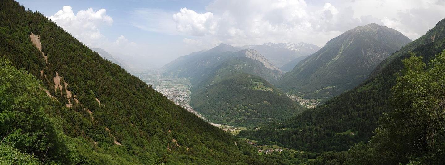
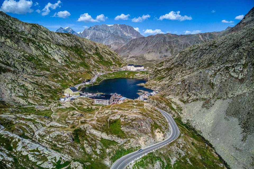
2 photographs from the road

Photo: Markus Giger · CC BY-SA 4.0 · Wikimedia Commons · Photo: Jag9889 · CC BY-SA 4.0 · Wikimedia Commons · Photo: Rémih · CC BY-SA 4.0 · Wikimedia Commons

More rides from Martigny