Road · Switzerland
Great St Bernard Pass from Martigny
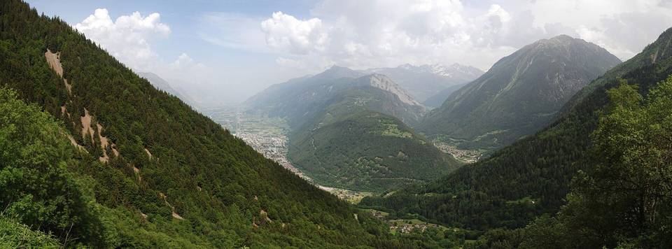
A mountainous 44 km road cycling route from Martigny through Les Guières, Martigny-Croix and Bovernier, with 2,081 m of climbing over the Sembrancher climb and Great St Bernard.
At a glance
- Best for
- Short, climbing-heavy rides for fit, experienced riders
- Distance
- 43.8 km
- Elevation gain
- 2,081 m
- Riding time
- 3 h 08 min
- Difficulty
- Hard
- Bike
- Road bike
- Surface
- Paved
- Best months
- May to Oct
- Navigation
- GPX download
- Start → finish
- Martigny
Map and elevation profile
Elevation profile
- 2,081 m
- 44 km
Route description
- Martigny
- Les Guières
- Martigny-Croix
- Bovernier
- Sembrancher climb
- La Douay
- Great St Bernard
- Fontaine Dessous (Liddes)
- Dranse (Liddes)
Starting at Martigny (475 m), the route begins with gentle climbing over the first 6.3 km, including a 4.8 km climb at 2.9% average gradient to 628 m and a 3.3 km rise at 2.5% to 694 m. After Bovernier (7 km), the climb steepens with a 4.1 km section averaging 5.8%, gaining 235 m up to 939 m near Sembrancher (12.5 km). Several small climbs follow, including a 2.4 km climb at 5.2% to 1058 m near La Rosière (17.6 km).
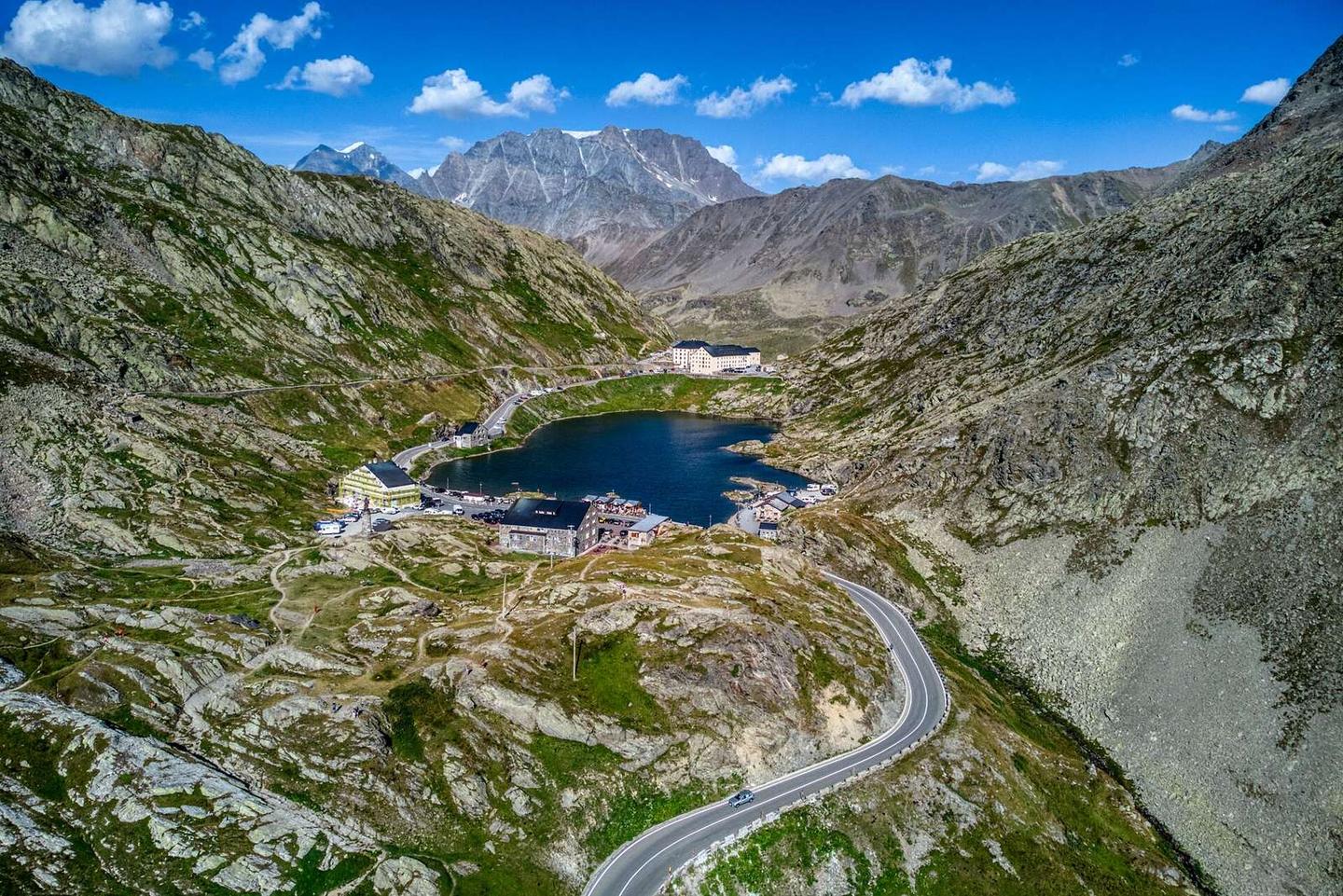
The main climb starts after Orsières (19.5 km), extending 23.5 km with an average gradient of 6.3% and maximum slopes of 11%, rising 1471 m toward the Great St Bernard Pass at 2472 m (km 43.3). The route follows mainly main roads with 21.4 km without cycle lanes, 15.2 km of these on roads posted 80 km/h or faster, notably on the N21 which is ridden for 21.6 km.
Most of the route is paved (95%) with minor gravel or unpaved sections (3%). Services along the route include cafés, shops, and water points spaced up to 11.8 km apart after Bourg-Saint-Pierre (31.4 km). There are bail-out stations at Martigny-Expo (0.5 km), Bovernier (6.7 km), and La Douay (16.6 km). At the start, Martigny offers cafés, bakeries and a supermarket. The summit area near Great St Bernard Pass has a café (Mont Joux at 43.2 km).
Why ride this route?
- Climbs the Sembrancher climb (4.1 km at 5.8 %) and Great St Bernard (23.4 km at 6.3 %).
- Tops out at 2,472 m, 43.3 km in.
Highlights
- Great St Bernard Pass at 2472 m
- Martigny start town
- Main climb after Orsières, 23.5 km long
- N21 main road for 21.6 km
Along the route
Places passed
On the road
Climbs
| Climb | Starts at | On this ride | Full ascent | Top on this ride |
|---|---|---|---|---|
| Unnamed climb | 1.5 km | 4.8 km · 138 m · 2.9 % · max 6.6 % | — | 628 m |
| Unnamed climb | 6.9 km | 3.3 km · 81 m · 2.5 % · max 3.2 % | — | 694 m |
| Sembrancher climb | 11.9 km | 4.1 km · 235 m · 5.8 % · max 8.8 % | 4.1 km · 235 m · 5.8 % | 939 m |
| Unnamed climb | 16.3 km | 2.4 km · 125 m · 5.2 % · max 8.1 % | — | 1058 m |
| Great St Bernard | 19.8 km | 23.5 km · 1471 m · 6.3 % · max 11 % | 23.4 km · 1471 m · 6.3 % | 2472 m |
Sembrancher climb · full ascent, starts at 11.9 km
< 4%4 – 7%7 – 10%> 10%
Great St Bernard · full ascent, starts at 19.8 km
Know before you go
- 21.4 km on main roads without cycle lanes
- 15.2 km on roads posted 80 km/h or more
- Longest no café/shop/water 11.8 km from 31.4 km