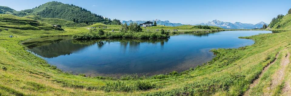
Avoriaz from Morzine
- 15 km
- 913 m
- Moderate
- Paved
Elevation profile
- 913 m
- 15 km
Route overview
This ride suits cyclists prepared for a short but very steep climb with significant sustained gradients.
A 14.5 km ride from Morzine with 913 m climbing to Avoriaz, France.
The route starts at Morzine and climbs steadily with two main climbs. The first climb begins at 2.5 km, running for 2.5 km with a gain of 140 m at an average gradient of 5.6% to 1082 m. The second, longer climb starts at 5.8 km over 7.8 km with a gain of 767 m, averaging 9.8% and reaching a maximum gradient of 21.1%, topping out at 1855 m near the finish at Avoriaz. Most of the route (82%) is paved, with 17% gravel or unpaved and 1% unmapped. The road types include 52% on minor roads, 16% on quiet streets, 14% on roads with cycle lanes, 13% on paths, and 5% on tracks. It follows the D 228 for 9.4 km. There is 3.3 km on fast roads with speed limits of 80 km/h or more. Climbing accounts for 73% of the ride, with 8.8 km over 5% gradient and 2.5 km over 10%. Descents are shorter, with the longest descent being 1.8 km starting early in the ride.
Highlights
- Avoriaz summit at 1855 m
- Steep gradient up to 21.1%
- Cascade d'Ardent viewpoint near 7.9 km
- D 228 road for 9.4 km
Along the route
Climbs
| Climb | Starts at | Length | Gain | Average | Max | Top |
|---|---|---|---|---|---|---|
| — | 2.5 km | 2.5 km | 140 m | 5.6 % | 8 % | 1082 m |
| Morzine climb | 5.8 km | 7.8 km | 767 m | 9.8 % | 21.1 % | 1855 m |
Morzine climb · starts at 5.8 km
What this ride is like
- Roads
- 52% minor road · 16% quiet street · 14% road with cycle lane · 13% path
- Fast roads
- 3.3 km on roads with a limit of 80 km/h or more
- Cycle paths
- 2 km on cycle paths or roads with a cycle lane
- Main roads used
- D 228 (9 km)
- Surface
- 82% paved · 17% gravel or unpaved
- Gradient
- 73% climbing · 14% descending · 13% flat
- Steep sections
- 8.8 km over 5% · 5.3 km over 8% · 2.5 km over 10%
Along the way
Food, water and shops
- 0 kmDrinking water · 150 m off route
- 0 kmThe Woods · bike shop · 210 m off route
- 0 kmPharmacie du Bourg · pharmacy · 100 m off route
- 2.2 kmToilets · on the route
- 2.3 kmLe Rocher · restaurant · 30 m off route
- 2.3 kmVival · convenience store · on the route
- 6.4 kmToilets · 110 m off route
- 7.1 kmSpring · on the route
- 8.5 kmHappy Hours · pub · 150 m off route
- 10.9 kmDrinking water · on the route
- 14.2 kmSherpa · supermarket · 180 m off route
- 14.3 kmLe Fournil de Cannelle · bakery · 90 m off route
- 14.3 kmToilets · 190 m off route
- 14.3 kmPharmacie Parfumerie des Portes du Soleil · pharmacy · 290 m off route
Worth a stop
- 0.7 km — Scierie La Battante Morzinoise (attraction)
- 7.9 km — Cascade d'Ardent (viewpoint)
At the start
- Les Épis du Roc · bakery · 180 m
- Chez Céline · bakery · 200 m
- Solide Café · café · 210 m
- Gusto e Basta! · restaurant · 100 m
- Carrefour Market · supermarket · 220 m
At the finish
- Le Fournil de Cannelle · bakery · 90 m
- Le Trainô · restaurant · 50 m
- La Réserve · restaurant · 90 m
- Le Tavaillon · bar · 90 m
- Carrefour Montagne · convenience store · 130 m
Stay after this ride
- Cap Neige · apartment · 70 m from the finish
- Épicéa · hotel · 90 m from the finish
- Chalet la Poudreuse · guest house · 120 m from the finish
- Datcha · apartment · 70 m from the finish
- Chalet Jean France · guest house · 180 m from the finish
Practical information
- Paved
- Point to point
- 1 h 02 min
Know before you go
- 3.3 km on fast roads (80 km/h+)
- Gravel or unpaved sections 17%
- Longest stretch without cafe/shop or water 2.5 km from 2.4 to 4.9 km