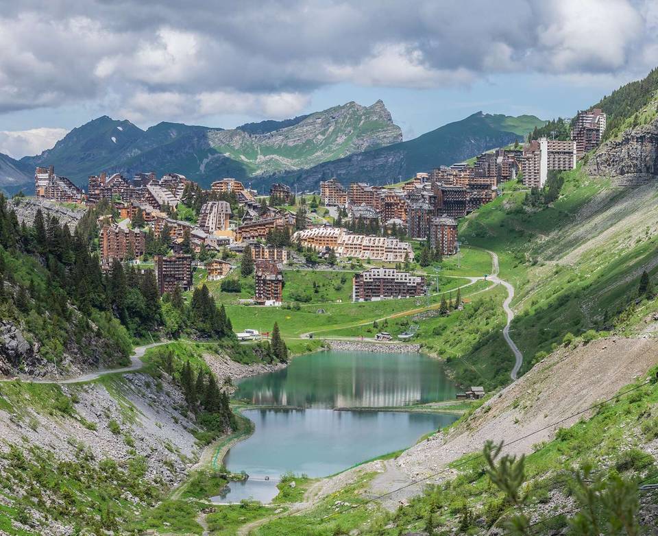
Col de Joux Plane from Samoëns
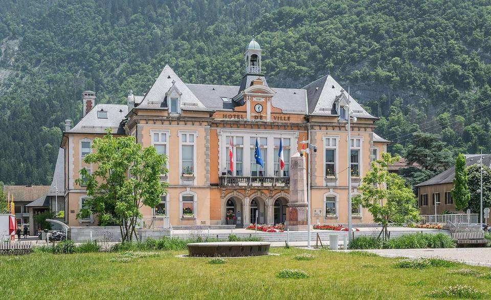
- 12 km
- 990 m
- Moderate
- Paved
Elevation profile
- 990 m
- 12 km
Route overview
This ride suits climbers looking for a short but steep climb with nearly 1000 m of ascent over 12 km.
12.4 km climb from Samoëns to Col de Joux Plane, France, gaining 990 m.
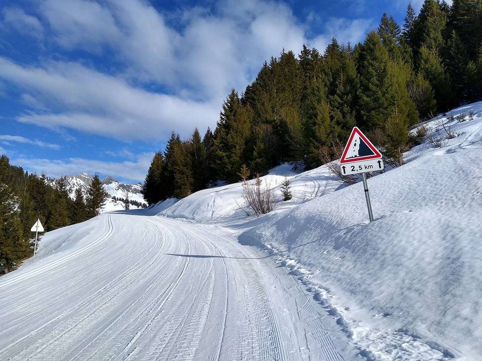
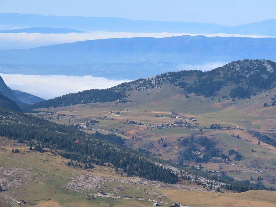
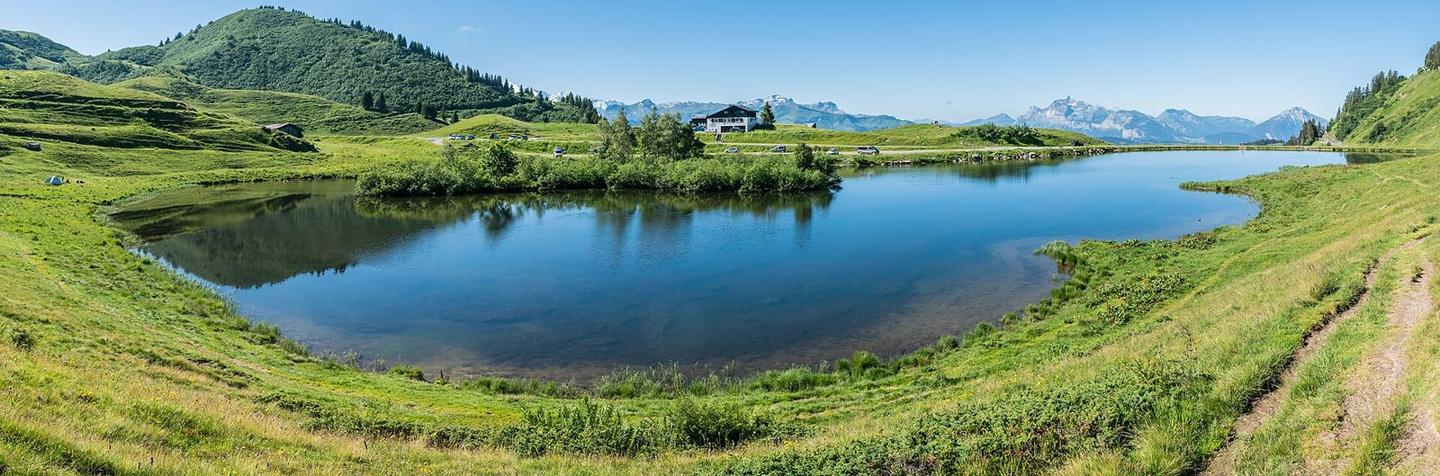
Starting at Samoëns (709 m), the route ascends 12.4 km to Col de Joux Plane at 1699 m. The climb begins right after 0.3 km and extends almost the entire route with an average gradient of 8.2% and a maximum of 17.9%. This sustained climb has 10.3 km over 5% gradient, including 7.9 km over 8%. The first half gains 40% of the total elevation. The surface is mostly paved (93%) with a section of 7% gravel or unpaved over 0.8 km. Nearly all the distance is on minor roads (92%), mainly the D 354 for 7 km. There is 0.8 km on paths. It passes through Les Moulins, Les Fontanys, La Grangiat, Les Plaignes, Les Combes, Le Coudray, Lachat, Chantemerle, Les Turches, and Mévoutier. Water is available at 0.8 km and 9.5 km but expect no café, shop, or water from 1.7 km to 9.5 km (7.8 km). At the start in Samoëns there are cafés, a market, bike shops and toilets. At the finish near Col de Joux Plane a restaurant is close by. The route lies beneath peaks including La Bourgeoise (1772 m) at 9.7 km, Pointe de Chamossière (1889 m) at 10.7 km, Tête du Vuargne (1825 m) and Le Ranfolly (1770 m) at 11.8 km.
Highlights
- Col de Joux Plane summit at 1699 m
- Start in Samoëns with cafés and shops
- Viewpoint La Jaÿsinia near 1.7 km
- Peaks La Bourgeoise and Pointe de Chamossière nearby
Along the route
Places passed
Climbs
| Climb | Starts at | Length | Gain | Average | Max | Top |
|---|---|---|---|---|---|---|
| Joux Plane | 0.3 km | 12.1 km | 988 m | 8.2 % | 17.9 % | 1699 m |
Joux Plane · starts at 0.3 km
What this ride is like
- Roads
- 92% minor road · 6% path
- Main roads used
- D 354 (7 km)
- Surface
- Paved throughout
- Gradient
- 94% climbing · 1% descending · 5% flat
- Steep sections
- 10.3 km over 5% · 7.9 km over 8% · 2.5 km over 10%
Along the way
Food, water and shops
- 0 kmL'Instant by Mathilde · café · 120 m off route
- 0 kmLes Halles · market · on the route
- 0 kmToilets · 80 m off route
- 0 kmTotal Contact · petrol station · 250 m off route
- 0 kmPharmacie Deffaugt Sanchez · pharmacy · 230 m off route
- 0.1 kmMountain Spirit · bike shop · 160 m off route
- 0.8 kmDrinking water · on the route
- 9.5 kmDrinking water · on the route
- 11.4 kmToilets · on the route
- 11.6 kmLe Relais des Vallées · restaurant · on the route
Worth a stop
- 1.7 km — La Jaÿsinia (viewpoint)
At the start
- Le Savoie · pub · 40 m
- L'Instant by Mathilde · café · 120 m
- Les Halles · market · 30 m
- À la Jaÿsinia · patisserie · 160 m
- Le Samoëns · bar · 40 m
At the finish
- Le Relais des Vallées · restaurant · 400 m
Practical information
- Paved
- Point to point
- 53 min
Know before you go
- No café, shop or water for 7.8 km from 1.7 km to 9.5 km
- 7.9 km with gradient over 8%
- 2.5 km with gradient over 10%
- 7% of route is gravel or unpaved