
Cyclists.com

Oban to Corran

Oban, Argyll and Bute, United KingdomRoad

Signed route The waymarked National Cycle Route 78 (Walk Wheel Cycle Trust), traced from OpenStreetMap and measured against the terrain model; no member has recorded it yet. Stage 1 of 2 of the National Cycle Route 78. Ridden it? Add your recording and photos.

62 km
Distance
320 m
Elevation gain
Moderate
Difficulty
Paved
Surface
Download GPXMap

Elevation profile

Total ascent
320 m
Distance
62 km
0255075100125m0 km204062 km107 m · highest, at 2.9 kmStartFinish

Route overview

Suitable for riders comfortable with 61.7 km distance and moderate climbing of 320 m.

Stage 1 of 2 of the National Cycle Route 78: 61.7 km from Oban to Corran with 320 m of climbing, on the signed route.

Starting in Oban at sea level near Pulpit Hill and Battery Hill, the route immediately climbs 83 m over 1.9 km with an average gradient of 4.3%, reaching 108 m by km 2.9. The ride mainly follows cycle paths (55%) and minor roads (18%), with some quiet streets and a few kilometres on major and main roads including 3.3 km on the A828 and 3 km on the C32. After passing through various small places including Soroba, Connel, and Barcaldine, the route features a second smaller climb at km 39.2 gaining 49 m over 1.2 km at an average gradient of 4.1%. From km 32.4 to 54.4, a 22 km stretch has no cafes, shops or water, and there are 6.3 km on main roads without cycle lanes as well as 12.6 km on roads with speed limits of 80 km/h or more. Near the finish at Corran, pubs such as Ardgour Bar and Ardgour Ales await. Bailout points include stations at Oban and Connel Ferry, plus Corran Ferry near the end. The route remains mostly flat with 77% flat sections and a longest descent of 1.8 km starting at km 28.6.

Highlights

  • Climb to 108 m near km 2.9
  • Castle Stalker viewpoint near km 31.8
  • Barcaldine Standing Stones near km 22.1
  • Longest flat stretch 77% of route

Along the route

Measured from the recorded track and OpenStreetMap.

Places passed

  1. Connel 9.3 km
  2. North Connel 9.9 km
  3. Benderloch 13.5 km
  4. Barcaldine 20.4 km
  5. Inverfolla 27.4 km
  6. Druim-na-moina 28 km
  7. Appin 30 km
  8. Kirkton 30 km
  9. Achosrigan 31.1 km
  10. Portnacroish 31.7 km
  11. West Dallens 32.4 km
  12. North Dallens 33.1 km
  13. Appin House 34.2 km
  14. Lurignich 36 km
  15. Achara 42.2 km
  16. Duror 44 km
  17. Kentallen 46.6 km
  18. Glenachulish 51.6 km
  19. North Ballachulish 53.7 km
  20. Onich 56.8 km
  21. Bunree 59.1 km
  22. Inchree 59.1 km

Climbs

ClimbStarts atLengthGainAverageMaxTop
1 km1.9 km83 m4.3 %7.7 %108 m
39.2 km1.2 km49 m4.1 %7 %66 m

High point 108 m at 2.9 km; low point 0 m. Passes beneath Battery Hill, Pulpit Hill, Oban Hill.

What this ride is like

Measured from OpenStreetMap along the track and the elevation profile.

Roads
55% cycle path · 18% minor road · 12% quiet street · 8% major road
Main roads
6.3 km on main roads without a cycle lane — likely busier
Fast roads
12.6 km on roads with a limit of 80 km/h or more
Cycle paths
33.6 km on cycle paths or roads with a cycle lane
Main roads used
A828 (3 km), C32 (3 km)
Surface
Paved throughout
Gradient
12% climbing · 12% descending · 77% flat
Steep sections
1 km over 5% · steepest 500 m averages 7.2% at 2 km

Along the way

Within a few hundred metres of the track, from OpenStreetMap. Opening hours change — treat this as where to look, not a promise.

Longest stretch without a café, shop or water: 22 km, from 32 km to 54 km.

Food, water and shops

  1. 0 kmTop Up Tap · drinking water · 100 m off route
  2. 0 kmToilets · 140 m off route
  3. 0 kmBrompton Bike Hire · bike rental · 100 m off route
  4. 0 kmM&D Green · pharmacy · 170 m off route
  5. 0.1 kmKaina · café · on the route
  6. 0.3 kmLidl · supermarket · 100 m off route
  7. 9.1 kmThe Oyster Inn · pub · 120 m off route
  8. 13.4 kmPetrol station · 70 m off route
  9. 13.5 kmBen Lora · café · 50 m off route
  10. 13.5 kmBenderloch Post Office · convenience store · 80 m off route
  11. 18.2 kmRacer Cafe · café · 50 m off route
  12. 25.9 kmThe Creagan Inn · pub · on the route
  13. 32.4 kmCastle Stalker View Cafe · café · 200 m off route
  14. 39.6 kmToilets · 70 m off route
  15. 44.3 kmToilets · 70 m off route
  16. 54.4 kmOnich Service Station · petrol station · 80 m off route
  17. 56.4 kmSpring · 70 m off route
  18. 59.6 kmToilets · on the route

Need to bail out?

  • 0 kmOban (station), 160 m off route
  • 8.8 kmConnel Ferry (station), 400 m off route
  • 60.2 kmCorran Ferry (Ardgour) (ferry), on the route

Whether bikes are carried depends on the service — check before relying on it.

Worth a stop

  • 22.1 kmBarcaldine Standing Stones (archaeological site)
  • 31.8 kmCastle Stalker viewpoint (viewpoint)
  • 40.6 kmLoch Linnhe Viewpoint (viewpoint)
  • 60.2 kmWWI RMLI Gun Battery (ruins)

At the start

  • Roxy's · café · 30 m
  • Kaina · café · 60 m
  • Oban · station · 160 m
  • Day-Today Express · convenience store · 50 m
  • Aulay's Bar · pub · 70 m

At the finish

  • Ardgour Bar · pub · 640 m
  • Corran Ferry (Ardgour) · ferry · 640 m
  • Ardgour Ales · pub · 290 m

Stay after this ride

  • The Inn at Ardgour · hotel · 630 m from the finish
  • The Corran Serviced Accomodation · hotel · 1.3 km from the finish
  • Corran Bunkhouse · hostel · 1.2 km from the finish

Practical information

Surface
Paved
Route shape
Point to point
Riding time
4 h 24 min
Best months
Jul to Aug — daily highs of 16 °C in those months

Know before you go

  • 22 km with no café, shop or water from km 32.4 to 54.4
  • 6.3 km on main roads without cycle lanes
  • 12.6 km on roads with 80 km/h speed limits
  • 2% gravel or unpaved surface

Routes are for inspiration. Roads, surfaces and conditions change — check locally and ride within your limits.

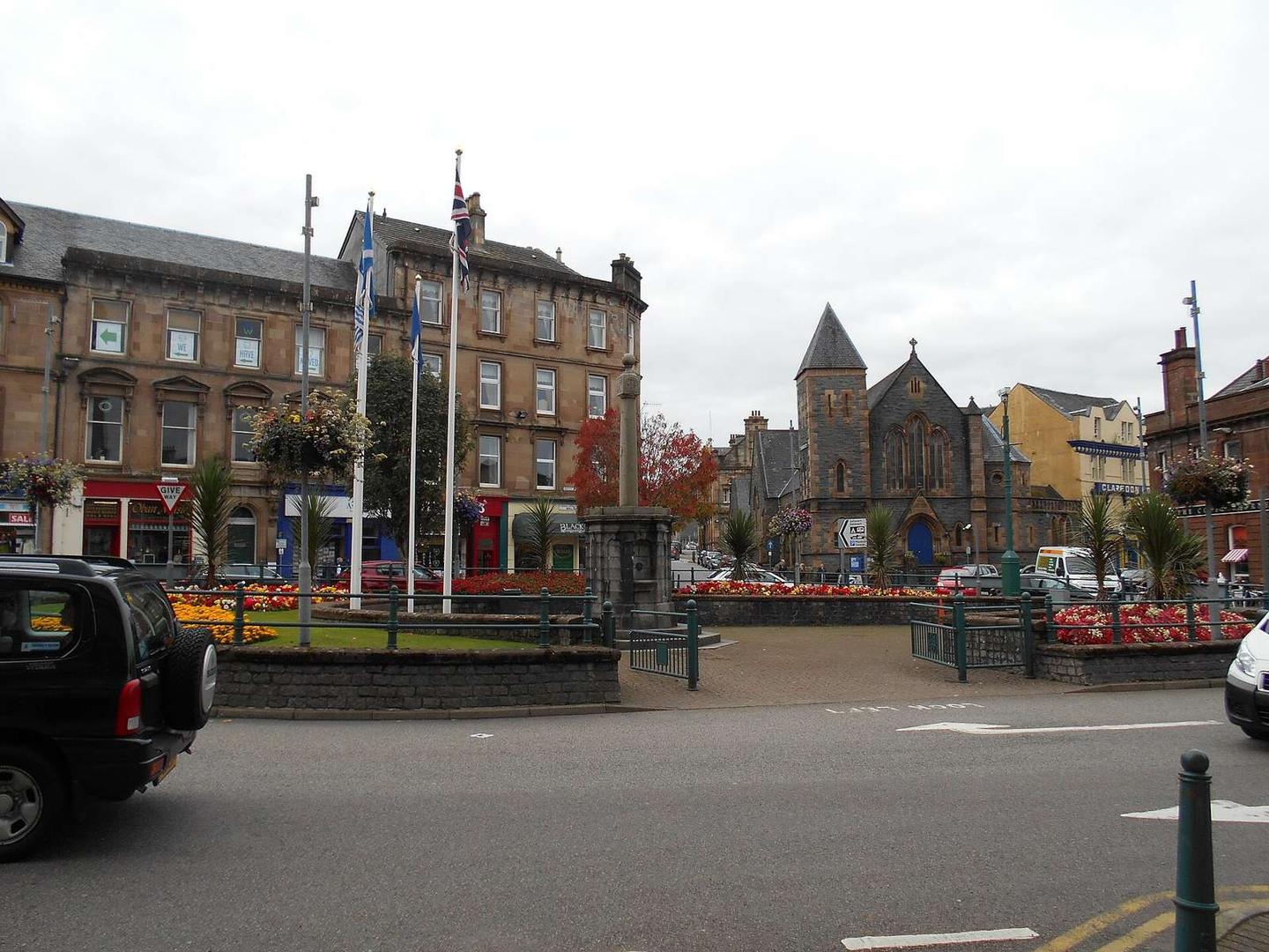
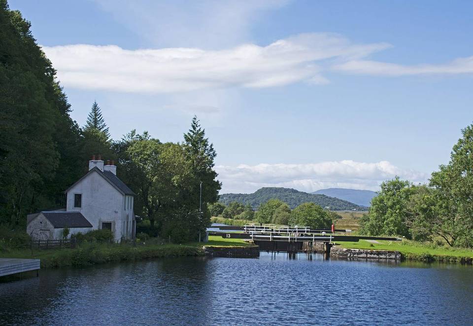
2 photographs from the road

Photo: Bill Henderson · CC BY-SA 2.0 · Wikimedia Commons · Photo: Peter Bond · CC BY-SA 2.0 · Wikimedia Commons · Photo: Steven Brown · CC BY-SA 2.0 · Wikimedia Commons

Stage of

More rides from Oban