Cyclists.com

Corran to Fort William

Corran, Highland, United KingdomRoad

Signed route The waymarked National Cycle Route 78 (Walk Wheel Cycle Trust), traced from OpenStreetMap and measured against the terrain model; no member has recorded it yet. Stage 2 of 2 of the National Cycle Route 78. Ridden it? Add your recording and photos.

17 km
Distance
47 m
Elevation gain
Easy
Difficulty
Paved
Surface
Download GPXMap

Elevation profile

Total ascent
47 m
Distance
17 km
0204060m0 km5101517 km40 m · highest, at 6.8 kmStartFinish

Route overview

Suitable for riders looking for a short 17 km route with low climbing.

Stage 2 of 2 of the National Cycle Route 78: 17.3 km from Corran to Fort William with 47 m of climbing, on the signed route.

The route starts near Corran and quickly passes through Keil at 0.3 km. It follows the A861 main road for 15.6 km without a cycle lane, passing Conaglen at 6.1 km, Sròn Chritheagain at 12.3 km, Trislaig at 14.6 km, and Camusnagaul at 15.7 km. The profile is mostly flat with 82% flat sections, 8% climbing and 10% descending. The highest point is 40 m at 6.8 km, with a low point of 0 m at 16.1 km, totaling 47 m of elevation gain.

Highlights

  • Highest point at 40 m near 6.8 km
  • Passes Meall Ruadh mountain at 10.2 km
  • Ferries at start and finish
  • Cameron Obelisk monument near Fort William

Along the route

Measured from the recorded track and OpenStreetMap.

Places passed

  1. Conaglen 6.1 km
  2. Sròn Chritheagain 12.3 km
  3. Trislaig 14.6 km

What this ride is like

Measured from OpenStreetMap along the track and the elevation profile.

Roads
90% main road · 8% unmapped
Main roads
15.6 km on main roads without a cycle lane — likely busier
Main roads used
A861 (16 km)
Surface
Paved throughout
Gradient
8% climbing · 10% descending · 82% flat

Along the way

Within a few hundred metres of the track, from OpenStreetMap. Opening hours change — treat this as where to look, not a promise.

Longest stretch without a café, shop or water: 17 km, from 0 km to 17 km.

Food, water and shops

  1. 0 kmArdgour Ales · pub · 300 m off route
  2. 17.3 kmFox William Coffee Shop & Café · café · 70 m off route
  3. 17.3 kmTop Up Tap · drinking water · 80 m off route
  4. 17.3 kmOff Beat Bikes · bike shop · 70 m off route
  5. 17.3 kmWell Pharmacy · pharmacy · 200 m off route

Need to bail out?

  • 0 kmCorran Ferry (Ardgour) (ferry), 1.2 km off route
  • 17.3 kmCamusnagaul passenger ferry (ferry), on the route

Whether bikes are carried depends on the service — check before relying on it.

Worth a stop

  • 17.3 kmCameron Obelisk (monument)

At the start

  • Ardgour Ales · pub · 300 m

At the finish

  • Fox William Coffee Shop & Café · café · 70 m
  • Off Beat Bikes · bike shop · 80 m
  • Café 115 · café · 80 m
  • Crannog Seafood Restaurant · restaurant · 20 m
  • Camusnagaul passenger ferry · ferry · 0 m

Stay after this ride

  • Travelodge · hotel · 80 m from the finish
  • The Garrison · hotel · 160 m from the finish
  • Ossians · hotel · 190 m from the finish
  • Highland Hotel · hotel · 210 m from the finish
  • Gowan Brae House · guest house · 240 m from the finish

Practical information

Surface
Paved
Route shape
Point to point
Riding time
1 h 14 min
Best months
Jun to Aug — daily highs of 17 °C in those months

Know before you go

  • Longest stretch without café, shop or water for 17.3 km
  • 15.6 km on main roads without cycle lane
  • Steepest 500 m section at 4.7% gradient near 6.1 km

Routes are for inspiration. Roads, surfaces and conditions change — check locally and ride within your limits.

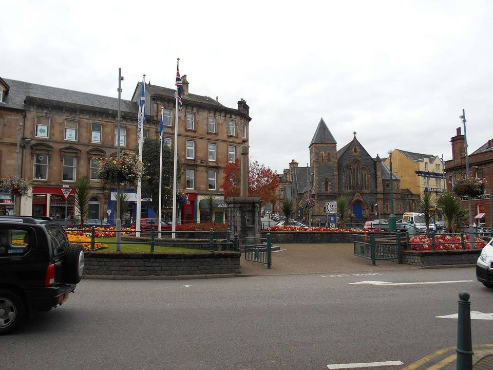
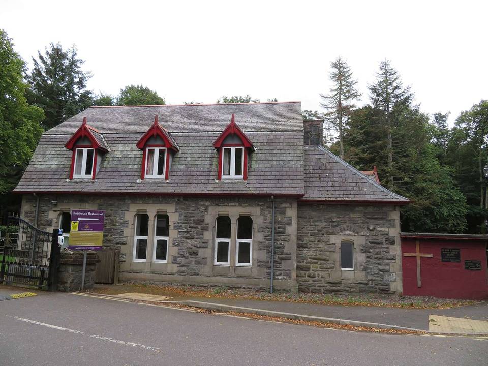
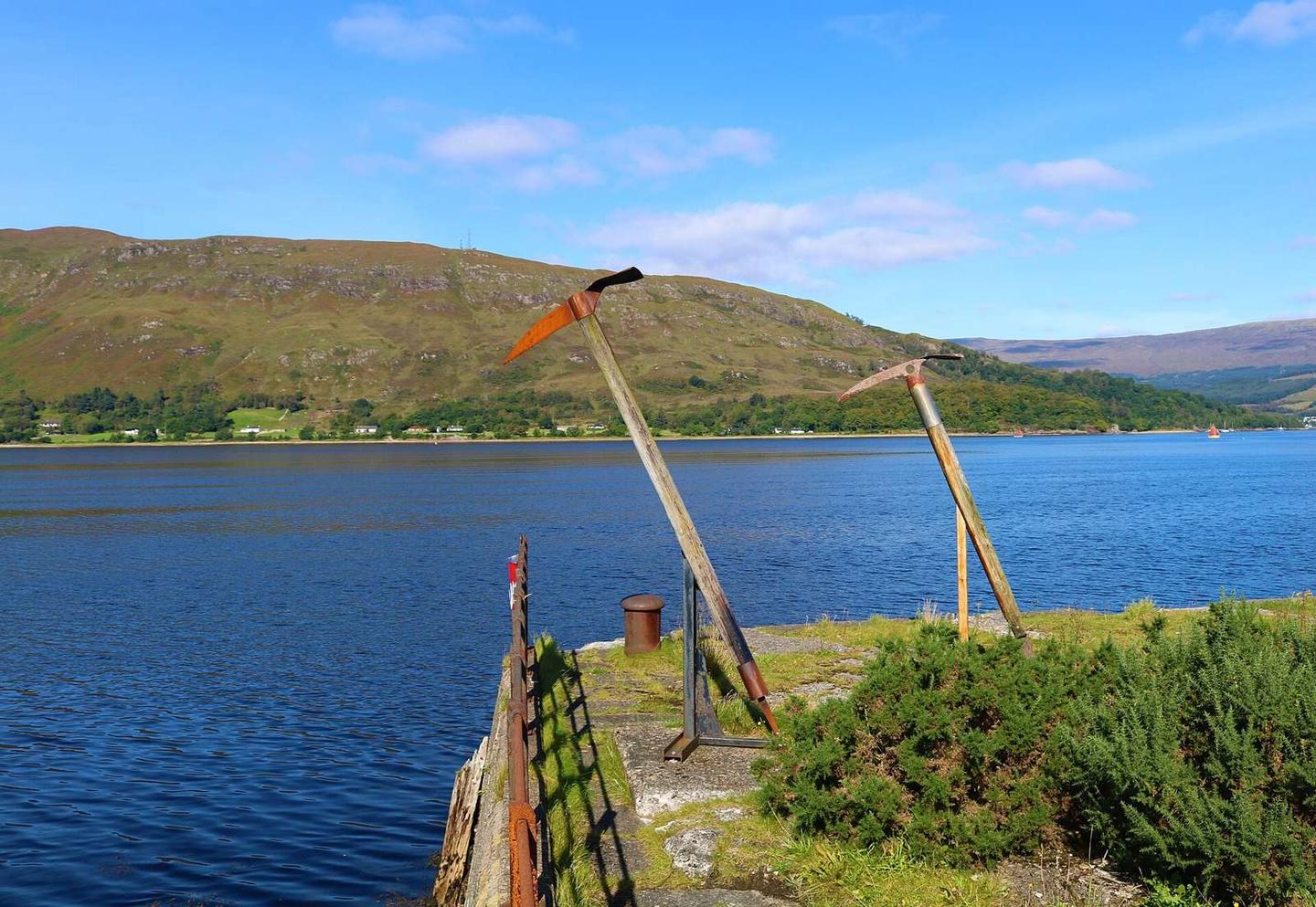
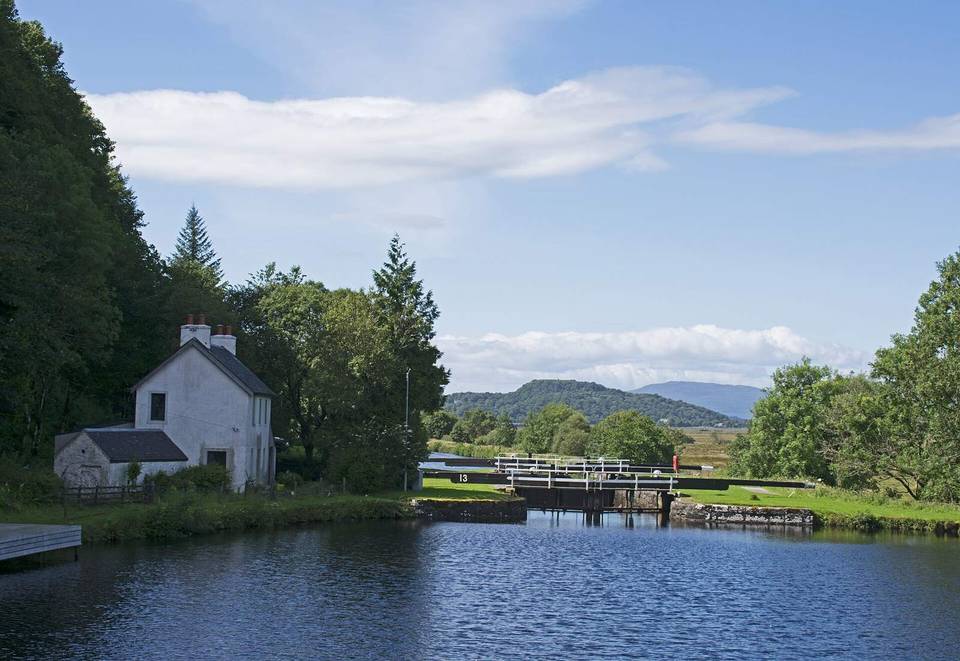
2 photographs from the road

Photo: Bill Kasman · CC BY-SA 2.0 · Wikimedia Commons · Photo: David Medcalf · CC BY-SA 2.0 · Wikimedia Commons · Photo: Steven Brown · CC BY-SA 2.0 · Wikimedia Commons

Stage of