Road · France
Stage 12 of 18 · Rotterdam to Barcelona← Stage 11Stage 13 →
A flat 105 km mixed-surface cycling route from Orange, Provence-Alpes-Cote d'Azur to Nîmes through Costa, Roquemaure and Quartier Nord Rocade, with 120 m of climbing. Mixed surface: 80% is mapped as paved and 18% as gravel or unpaved and 2% has no surface data.
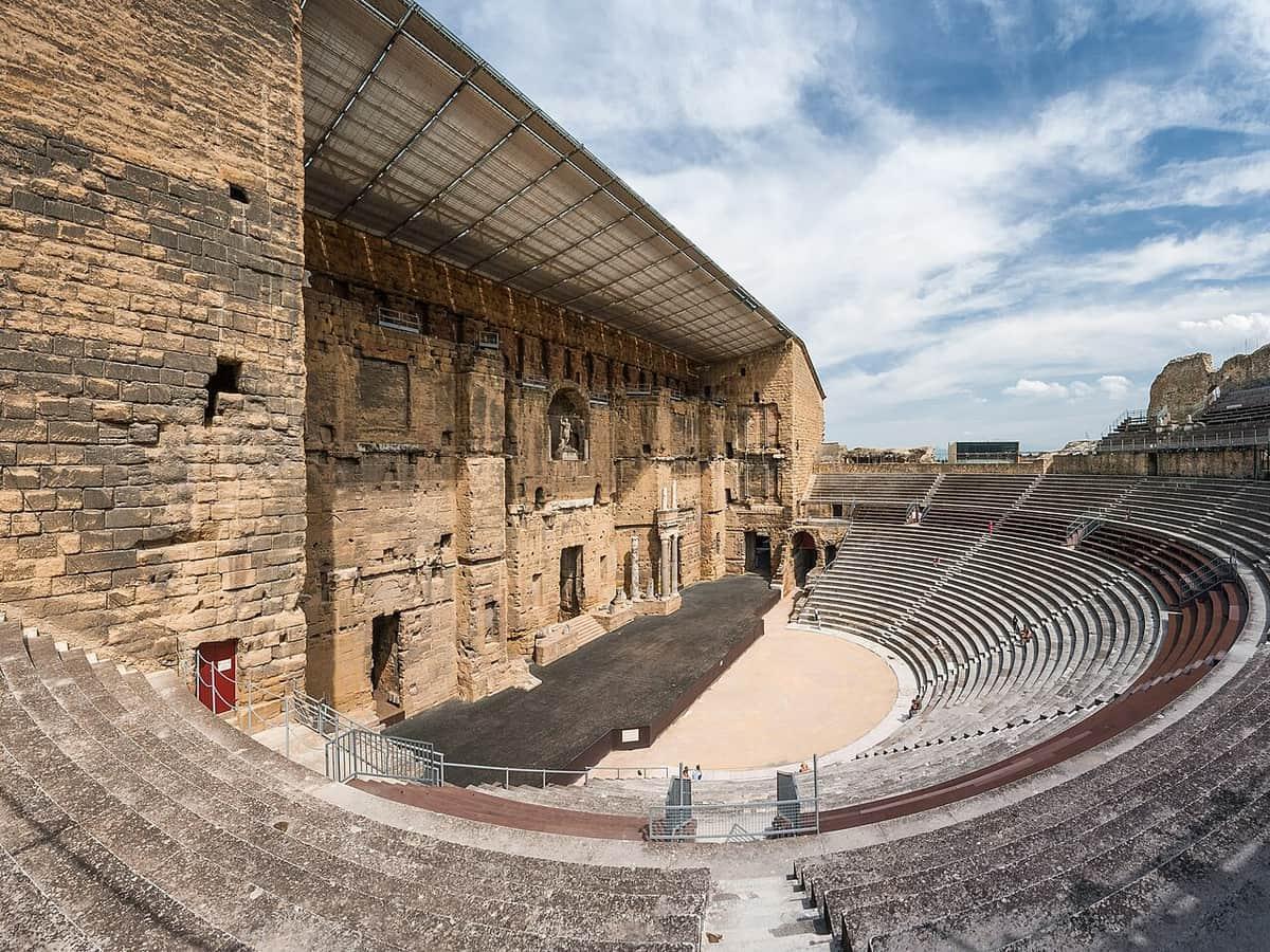
The route starts in Orange passing through several places within the first few kilometres including Tanneurs, Les Arènes, and Nogent. Early on, the road is mainly minor roads, quiet streets, paths and cycle paths. From km 6.2 (Caderousse), the ride continues through Montfaucon and Roquemaure, heading towards Avignon at 33.9 km, passing through various quartiers. The surface is mostly paved with about 18% gravel or unpaved sections. Main roads without cycle lanes make up 5.8 km, with 9.5 km on roads posted at 80 km/h or more, while 12.8 km is on cycle paths or lanes.
After Avignon, the route heads through Les Angles and Aramon, continuing over largely flat terrain until a gentle climb between 75.5 km and 77.6 km with a 55 m gain averaging 2.7%, steepest at 6%, reaching 62 m altitude. The highest point along the route is at 84.7 km (64 m height). Passing through Beaucaire at 73.7 km, Montcalm-République (100.2 km) and finally arrives at Nîmes at 99.2 km. The route combines a mix of minor roads, paths, quiet streets and some main roads all with varied surface types.
| Climb | Starts at | On this ride | Top on this ride |
|---|---|---|---|
| Unnamed climb | 75.5 km | 2.1 km · 55 m · 2.7 % · max 6 % | 62 m |
Mostly minor roads and streets on the map; 5.8 km is on main roads without a cycle lane.
No stretch is longer than 15 km without a café, shop or water. Along the route: 583 cafés and restaurants, 88 shops, 47 water points, 8 petrol stations, 30 public toilets and 43 bike shops.