Cyclists.com

Nîmes to Cap d'Agde

Nîmes, Languedoc, FranceRoad

128 km
Distance
188 m
Elevation gain
Hard
Difficulty
Paved
Surface
On the road: Nîmes to Cap d'Agde

Elevation profile

188 m over 128 km

Route overview

Suits riders after a long but almost flat day: 128.2 km with only 188 m of climbing.

A flat 128.2 km point-to-point from Nîmes across the Languedoc plain to the Mediterranean coast, finishing at Cap d'Agde.

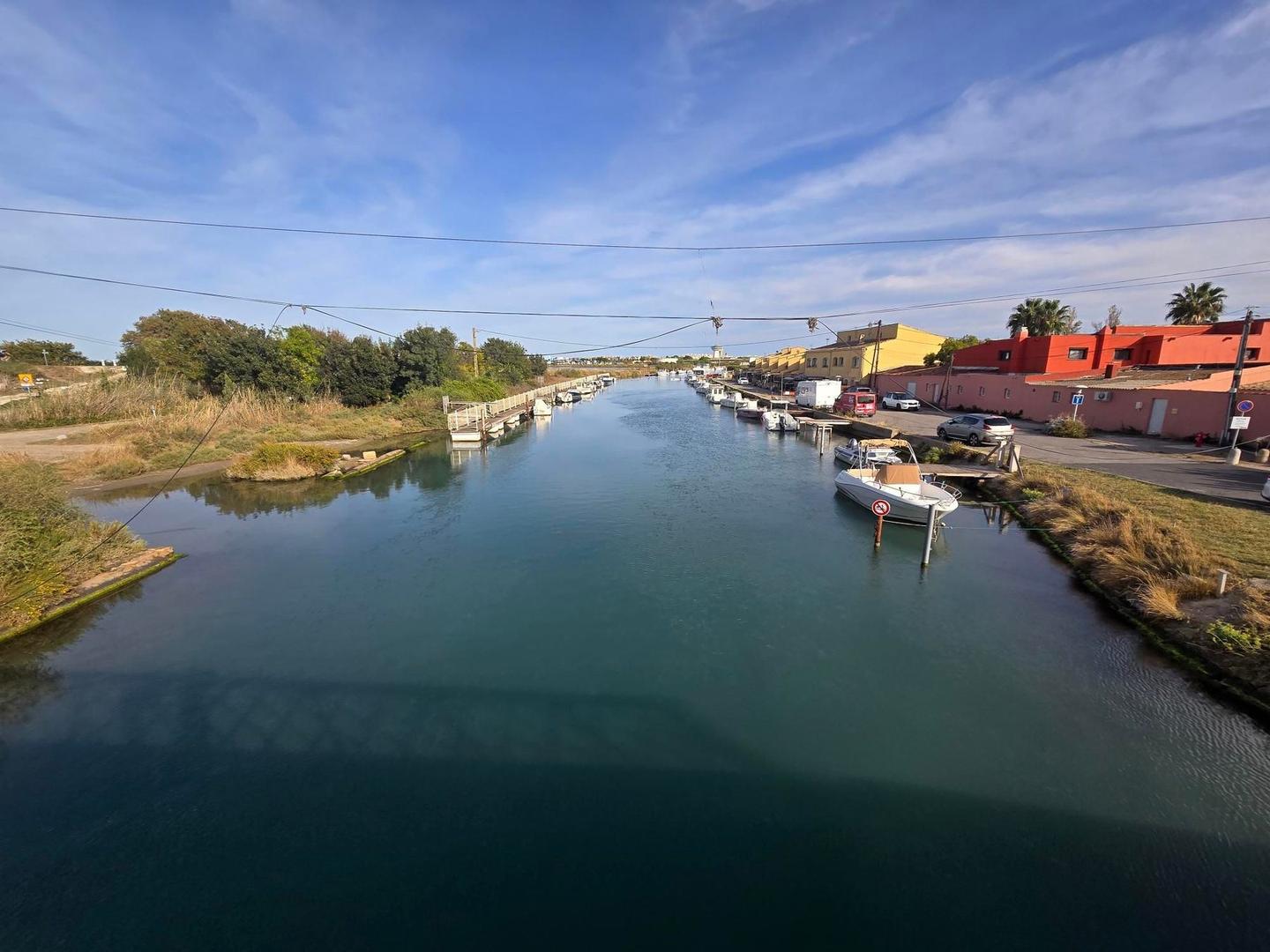
From Nîmes the route leaves the city through Saint-Césaire and Carémeau and reaches its high point of just 89 m at 7.6 km, near Caveirac. This first section holds 76% of the day's modest 188 m of climbing, rolling through Langlade, Saint-Dionisy, Calvisson and Congénies, with a viewpoint at 25.9 km beyond Junas and Aubais. At Villetelle the road crosses to Lunel at 38.4 km, the last sizeable town before the coast. From there the route runs south past Saint-Nazaire-de-Pézan and the cabanes at Lunel and Le Roc to reach the sea at La Grande-Motte, 53.6 km in. The remaining 75 km follow the shoreline: Carnon, Palavas-les-Flots, Les Aresquiers at 81 km, then Frontignan and La Peyrade before Sète at 96.1 km. A long final run along the lido leads to Marseillan Plage at 116.4 km and Cap d'Agde at 122.6 km, where the route drops to its low point of 11 m before the finish.

Highlights

  • High point of just 89 m at 7.6 km, above Caveirac
  • Viewpoint at 25.9 km between Junas and Aubais
  • Coast reached at La Grande-Motte, 53.6 km in
  • Seafront run through Sète to Cap d'Agde

Along the route

Measured from the recorded track and OpenStreetMap.

Places passed

  1. Km Delta 2.2 km
  2. Saint-Césaire 2.9 km
  3. Mas Roman 3.7 km
  4. Carémeau 4.1 km
  5. Mas de Lauze 5.3 km
  6. Caveirac 9 km
  7. Langlade 11 km
  8. Les Lauzières 11.5 km
  9. Saint-Dionisy 12.4 km
  10. Bizac 16.2 km
  11. Calvisson 17.3 km
  12. Congénies 20.1 km
  13. Aujargues 23.5 km
  14. Junas 24.9 km
  15. Aubais 28.6 km
  16. Villetelle 31.3 km
  17. Le Moulin du Liquis 32.3 km
  18. Lunel 38.4 km
  19. Saint-Just 40.6 km
  20. Saint-Nazaire-de-Pézan 42.3 km
  21. Cabanes de Lunel 47.7 km
  22. Cabanes du Roc 51.6 km
  23. La Petite Motte 53 km
  24. La Grande-Motte 53.6 km
  25. Carnon 63.5 km
  26. Les Cabanes de Carnon 65 km
  27. Palavas-les-Flots 68.4 km
  28. Cabanes de L'Arnel 70.2 km
  29. Les 4 Vents 70.2 km
  30. Les Aresquiers 81 km
  31. Frontignan 88.4 km
  32. La Peyrade 91.9 km
  33. Sète 96.1 km
  34. Marseillan Plage 116.4 km
  35. Cap d'Agde 122.6 km

On the road

  • Antidote Café (Café) 0 km
  • Mésopota'Nîmes (Restaurant) 0 km
  • L'Unik (Restaurant) 0.2 km
  • Maréchal Grill (Restaurant) 0.7 km
  • Les Collègues (Restaurant) 0.7 km
  • Le Vieux Grill (Restaurant) 0.9 km
  • Le Bato (Restaurant) 1.2 km
  • Salad-Bar (Restaurant) 2.2 km
  • Le Sans Chichi (Restaurant) 2.4 km
  • Water 7.1 km
  • Water 8.1 km
  • Netto (Fuel station) 12.2 km

Practical information

Surface
Paved
Route shape
Point to point
Riding time
7–10 hours riding
Season
The single September recording saw 28°C, warm for a shadeless coastal ride; spring and autumn suit it best.

Know before you go

  • No cafés, restaurants or water listed after km 53.4 — carry supplies for the final 75 km
  • 28°C recorded in September on an exposed coastal route

Routes are for inspiration. Roads, surfaces and conditions change — check locally and ride within your limits.

11 photographs from the road

Part of