Cyclists.com

Pla d'Adet from Saint-Lary-Soulan

Saint-Lary-Soulan, FranceRoad

Routed from the map This classic road was traced on OpenStreetMap and measured against the terrain model; no member has recorded it yet. Ridden it? Add your recording and photos.

12 km
Distance
858 m
Elevation gain
Moderate
Difficulty
Paved
Surface

Elevation profile

Total ascent
858 m
Distance
12 km
Elevation (m)05001,0001,5002,0000 km2.5 km5 km7.5 km10 km12 kmHighest point1,668 m at 12.1 kmStart0 kmFinish12 km

Route overview

This ride suits cyclists prepared for a steep 12 km mountain climb with 858 m elevation gain.

A 12.1 km climb from Saint-Lary-Soulan to Pla d'Adet in France gaining 858 m.

This ride starts in Saint-Lary-Soulan at approximately 810 m elevation passing through Vignec and Vielle-Aure early on. The main climb to Pla d'Adet begins near km 1.3 and extends for 10.7 km, gaining 848 m to reach a top elevation of 1668 m. The route surface is 98% paved, with about 2% unpaved sections. It mainly follows 9.6 km of main roads including the D 123 for 9.4 km, with no cycle lanes. There are some quiet streets and minor roads near the start. The profile is steep, averaging 7.9% gradient with sections up to 11.1%, and 9.7 km are over 5% gradient including 6.1 km over 8% and 3.2 km over 10%. Cap de Pède, 1634 m high, lies near km 5.8. Amenities include cafes and a convenience store at the start in Saint-Lary-Soulan, drinking water available at km 0.1, 6.3 and near the finish, and two restaurants and shops near the summit. The longest stretch without cafes, shops or water is 5.2 km from km 6.3 to 11.5.

Highlights

  • Climb to Pla d'Adet at 1668 m
  • Passes Cap de Pède 1634 m
  • Steep gradients up to 11.1%
  • Mostly paved main road D 123

Along the route

Measured from the recorded track and OpenStreetMap.

Places passed

  1. Vielle-Aure 2.2 km
  2. Soulan 6.5 km
  3. Espiaube 8.8 km

Climbs

ClimbStarts atLengthGainAverageMaxTop
Vignec climb1.3 km10.7 km848 m7.9 %11.1 %1668 m

High point 1668 m at 12 km; low point 810 m. Passes beneath Cap de Pède.

Vignec climb · starts at 1.3 km

10.7 km at 7.9% · 848 m
9001000110012001300140015001600ELEVATION (M)11%9.7%9.5%7.1%10%6.2%5.9%6.8%2.4%0 km1234567891010.7 kmDISTANCE (KM)Vignec climb · 1,668 mSTEEPEST 10.6%
< 4%4 – 7%7 – 10%> 10%

What this ride is like

Measured from OpenStreetMap along the track and the elevation profile.

Roads
80% main road · 10% quiet street · 7% minor road
Main roads
9.6 km on main roads without a cycle lane — likely busier
Main roads used
D 123 (9 km)
Surface
Paved throughout
Gradient
91% climbing · 1% descending · 8% flat
Steep sections
9.7 km over 5% · 6.1 km over 8% · 3.2 km over 10%

Along the way

Within a few hundred metres of the track, from OpenStreetMap. Opening hours change — treat this as where to look, not a promise.

Food, water and shops

  1. 0 kmToilets · 40 m off route
  2. 0.1 kmCoucaril · café · on the route
  3. 0.1 kmCarrefour Montagne · convenience store · on the route
  4. 0.1 kmDrinking water · on the route
  5. 0.1 kmPharmacie Principale · pharmacy · 40 m off route
  6. 0.2 kmBike Shop · bike shop · 130 m off route
  7. 6.3 kmDrinking water · on the route
  8. 11.6 kmSherpa · convenience store · on the route
  9. 11.8 kmDrinking water · on the route
  10. 12 kmÔ Chalet · restaurant · on the route
  11. 12 kmToilets · on the route

Worth a stop

  • 0 kmCarrousel (attraction)
  • 6.4 kmVierge (monument)

At the start

  • L'Épi d'Aure · bakery · 10 m
  • Coucaril · café · 80 m
  • Le desman Café · café · 70 m
  • Carrefour Montagne · convenience store · 30 m
  • L'atelier du burger · restaurant · 90 m

At the finish

  • Art Bison · restaurant · 30 m
  • Sherpa · convenience store · 40 m
  • Ô Chalet · restaurant · 70 m
  • La Sandwicherie · fast food · 100 m

Stay after this ride

  • Ô Chalet · hotel · 70 m from the finish
  • Village vacances Le Mouflon ulvf · hostel · 180 m from the finish
  • Le Chalet Thibétain · hostel · 170 m from the finish
  • Le Pourquoi Pas · hostel · 200 m from the finish

Practical information

Surface
Paved
Route shape
Point to point
Riding time
52 min

Know before you go

  • 9.6 km on main roads without cycle lane
  • Longest café/shop/waterless stretch 5.2 km from km 6.3 to 11.5

Routes are for inspiration. Roads, surfaces and conditions change — check locally and ride within your limits.

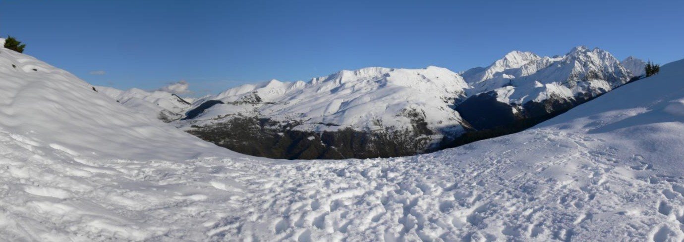
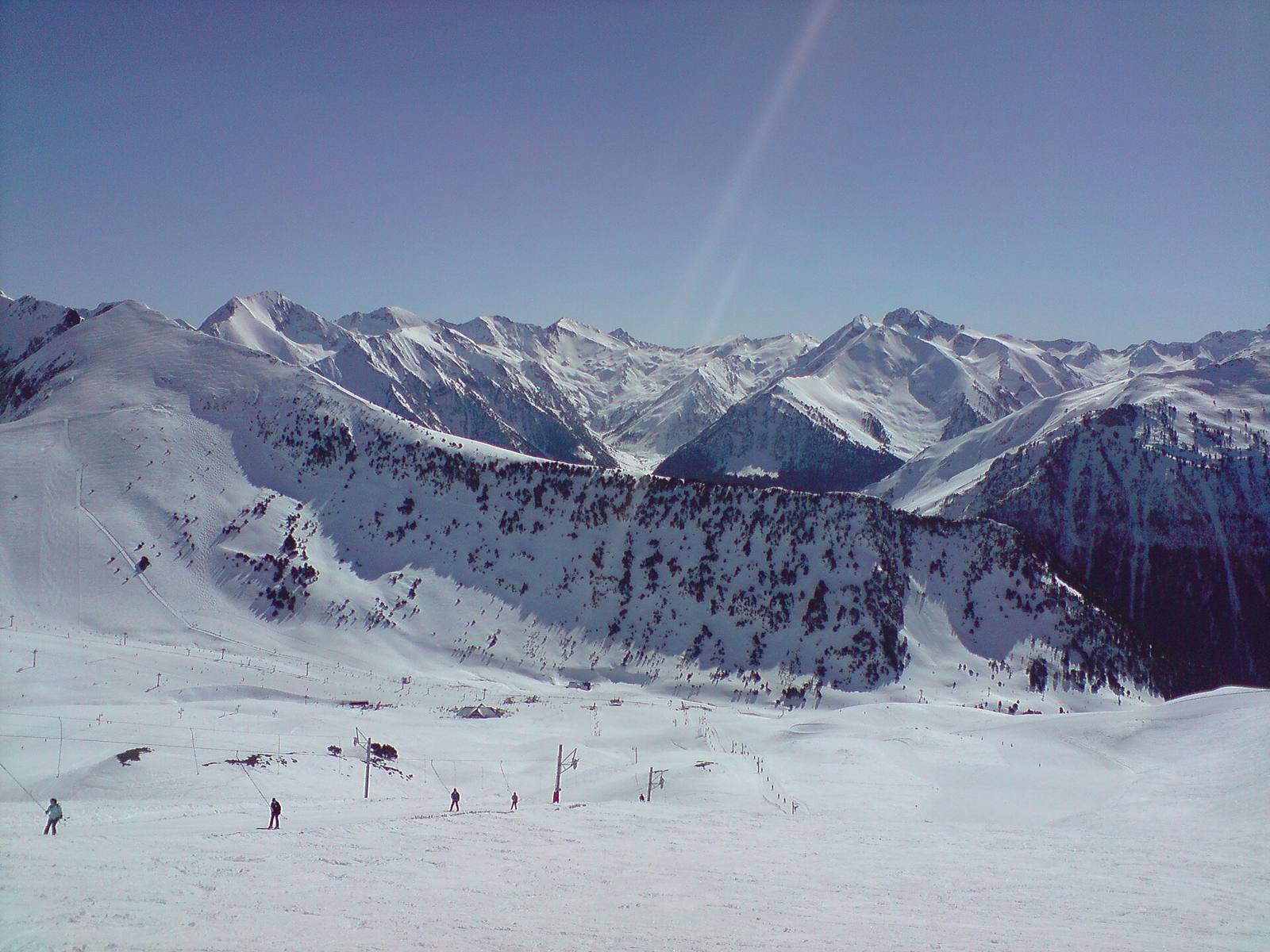
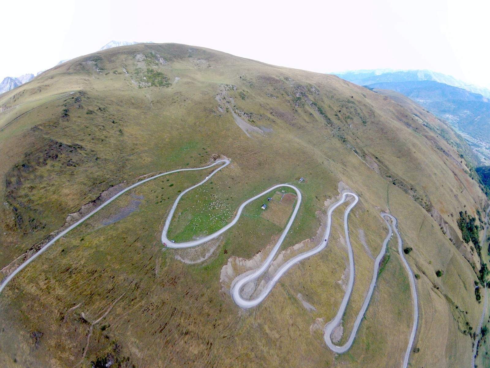
2 photographs from the road

Photo: Guillaume336 · Public domain · Wikimedia Commons · Photo: Gilles Guillamot · CC BY-SA 3.0 · Wikimedia Commons · Photo: PIERRE ANDRE LECLERCQ · CC BY-SA 4.0 · Wikimedia Commons

More rides from Saint-Lary-Soulan