
Road · United Kingdom
A hilly 53 km road cycling route from Scatness, Shetland through Grutness, Toab and Spiggie, with 548 m of climbing. Most of it (28.7 km) is on main roads without a cycle lane, 10.8 km where the limit is 80 km/h or more. There is a 33 km stretch without a café, shop or water (km 16–49).
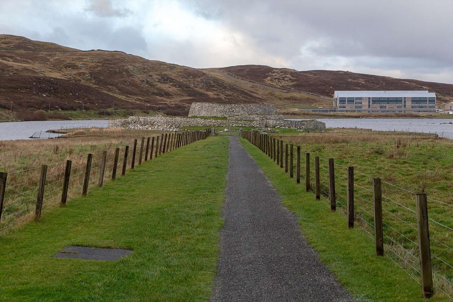
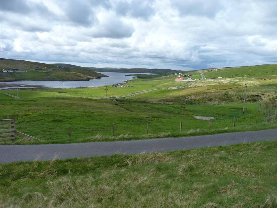
Starting near Grutness, the route passes through Sumburgh and Scatness before continuing to Toab and Dunrossness. Early climbs include a 1.4 km ascent gaining 66 m at 4.6% average gradient and a 1.5 km climb at 3.3%. The ride then proceeds via Symblisetter, Spiggie, and Scousburgh, passing several climbs including one of 2.6 km length with a 72 m gain at 2.7% and another 1.1 km at 4.3% gradient. The surface is mostly paved (99%) with a small 1% unpaved section, and the roads are mainly main roads (55%) without cycle lanes, including 10.8 km of 80 km/h or more roads. Notable roads include the A970 for 20.8 km and the B9122 for 6.4 km. The longest stretch without cafés, shops or water is 32.9 km from 16.1 km to 49 km. There are several bailout points including ferries at 1.9 km, 28.6 km and Lerwick at 52.1 km. The route finishes in Lerwick, which offers cafés, supermarkets and a ferry station.
The profile varies with 24% climbing, 28% descending and 48% flat sections, with climbing mostly in the first half. The highest point is 104 m at 47.1 km. The steepest 500 m section is at 38.6 km with a 6.5% gradient. The longest descent is 2.2 km starting at 47.7 km with a drop of 91 m. Peaks near the route include The Compass at 101 m near the start, Gallow Hill at 62 m around 8 km, and Hill of Sand at 100 m near 45 km.
| Climb | Starts at | On this ride | Top on this ride |
|---|---|---|---|
| Unnamed climb | 4.7 km | 1.4 km · 66 m · 4.6 % · max 6.8 % | 71 m |
| Unnamed climb | 15.4 km | 1.5 km · 49 m · 3.3 % · max 5.7 % | 51 m |
| Unnamed climb | 19.3 km | 2.6 km · 72 m · 2.7 % · max 4.5 % | 100 m |
| Unnamed climb | 24.7 km | 1.1 km · 46 m · 4.3 % · max 6.7 % | 93 m |
| Unnamed climb | 34.7 km | 1.2 km · 48 m · 4 % · max 6.1 % | 51 m |
| Unnamed climb | 37.6 km | 1.3 km · 55 m · 4.3 % · max 6.7 % | 76 m |
This is not a cycle-track route: 54% is on main roads without a cycle lane, 10.8 km of it where the limit is 80 km/h or more. Riders should be comfortable sharing the road with faster traffic.
The longest stretch without a café, shop or water is 33 km, from km 16 to 49. Along the route: 37 cafés and restaurants, 9 shops, 3 petrol stations, 6 public toilets and 4 bike shops.