Lerwick to Ulsta
- 66 km
- 813 m
- Hard
- Paved
Elevation profile
- 813 m
- 66 km
Route overview
Suitable for riders looking for a medium distance ride with moderate climbing totaling 813 m over 66 km.
Stage 1 of 3 of the EuroVelo 12: 66.2 km from Lerwick to Ulsta with 813 m of climbing, on the signed route.
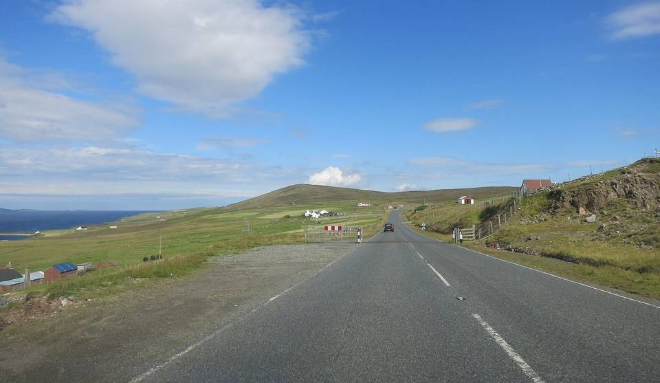
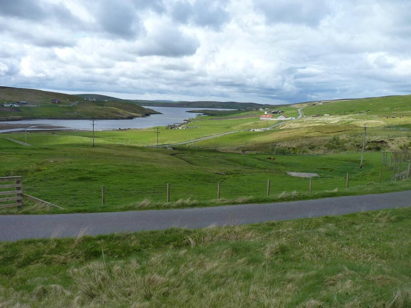
Starting from Lerwick at sea level, the route heads through several places including Veensgarth (7.5 km), Whiteness (12.7 km), and Bixter (26.4 km) before reaching Ulsta at 65.7 km. The ride features seven climbs, the longest being 2.9 km with an average gradient of 3.5%, and the steepest 500 m section reaches 7.1% near km 10.2. Elevation peaks at 132 m around 41.1 km, with the terrain including 31% climbing, 26% descending, and 42% flat sections. The surface is mostly paved (93%) with a small share of gravel or unpaved (1%).
Highlights
- Hill of Tagdale near 3 km
- Climb starting at 18.5 km
- Hill of Hellister near 15.5 km
- Fielnadringa peak near 41 km
Along the route
Places passed
Climbs
| Climb | Starts at | Length | Gain | Average | Max | Top |
|---|---|---|---|---|---|---|
| — | 0.2 km | 2.3 km | 99 m | 4.3 % | 6 % | 105 m |
| — | 4.8 km | 1.7 km | 46 m | 2.8 % | 4.5 % | 74 m |
| — | 8.6 km | 2.2 km | 92 m | 4.3 % | 7.8 % | 108 m |
| — | 18.5 km | 2.9 km | 101 m | 3.5 % | 4.5 % | 105 m |
| — | 26.2 km | 1.1 km | 48 m | 4.4 % | 6.8 % | 61 m |
| — | 34.7 km | 2.1 km | 75 m | 3.6 % | 5.4 % | 85 m |
| — | 38.8 km | 2.3 km | 110 m | 4.8 % | 7.4 % | 132 m |
What this ride is like
- Roads
- 84% main road · 6% minor road · 2% quiet street · 1% track · 6% unmapped
- Main roads
- 55.2 km on main roads without a cycle lane — likely busier
- Fast roads
- 1.3 km on roads with a limit of 80 km/h or more
- Main roads used
- A971 (18 km), B9071 (17 km), A968 (16 km), A970 (5 km)
- Surface
- Paved throughout
- Gradient
- 31% climbing · 26% descending · 42% flat
- Steep sections
- 3.2 km over 5% · steepest 500 m averages 7.1% at 10.2 km
- Longest descent
- 2.1 km from 41.6 km, dropping 116 m
Along the way
Longest stretch without a café, shop or water: 20 km, from 46 km to 66 km.
Food, water and shops
- 0 kmCo-op Food · supermarket · 370 m off route
- 0 kmFreefield Pharmacy · pharmacy · 750 m off route
- 0.2 kmRepair stand · on the route
- 2.1 kmLerwick Brewery · pub · 40 m off route
- 12.8 kmAnderson Butchers · convenience store · on the route
- 15.9 kmRobertson & Morrison · petrol station · 40 m off route
- 26.6 kmThe Bixter Shop · convenience store · on the route
- 26.6 kmToilets · 40 m off route
- 26.6 kmPetrol station · on the route
- 31.2 kmAith Community Toilets · toilets · 210 m off route
- 34.3 kmThe Original Cake Fridge & Tearoom · patisserie · 50 m off route
- 44.6 kmToilets · on the route
- 45.3 kmTagon Stores · convenience store · 70 m off route
- 45.3 kmPetrol station · 70 m off route
- 45.5 kmDA Mad Hoose · café · 30 m off route
- 61 kmToilets · 50 m off route
- 65.7 kmYell Eats · fast food · 110 m off route
- 65.7 kmToilets · 100 m off route
Need to bail out?
- 0 km — Lerwick (ferry), on the route
- 65.7 km — Ulsta (ferry), on the route
Worth a stop
- 1 km — Ward of Lerwick (peak, 83 m)
- 27.6 km — Brecks Hill (peak, 91 m)
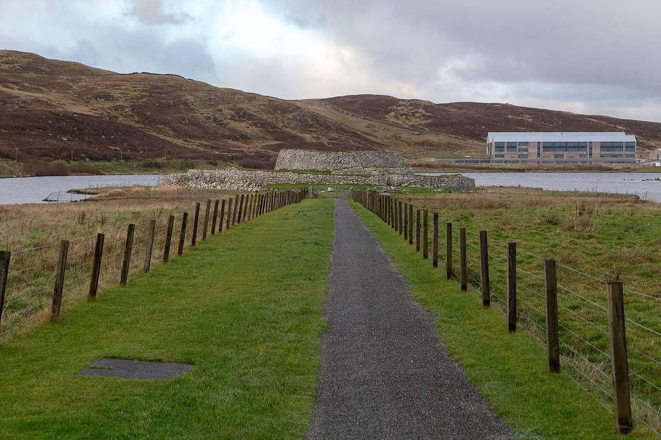
- 33.9 km — East Burra Firth, Broch (archaeological site)
- 41 km — Fielnadringa (peak, 198 m)
- 55.8 km — Hill of Swinister (peak, 139 m)
At the start
- Lerwick · ferry · 0 m
- Co-op Food · supermarket · 370 m
At the finish
- Ulsta · ferry · 10 m
- Yell Eats · fast food · 110 m
Practical information
- Paved
- Point to point
- 4 h 44 min
Know before you go
- Longest stretch without café, shop or water: 20.2 km from 45.5 km to 65.7 km
- 55.2 km on main roads without cycle lanes
- 1.3 km on roads with speed limits of 80 km/h or more
- 3.2 km with gradients over 5%