Cyclists.com

Local Cycle Route B9081

Mid Yell, Shetland, United KingdomRoad

Signed route The waymarked Local Cycle Route B9081 (Shetland Islands Council), traced from OpenStreetMap and measured against the terrain model; no member has recorded it yet. Ridden it? Add your recording and photos.

21 km
Distance
236 m
Elevation gain
Easy
Difficulty
Paved
Surface
Download GPXMap

Elevation profile

Total ascent
236 m
Distance
21 km
050100150m0 km5101521 km134 m · highest, at 4.3 kmStartFinish

Route overview

Suitable for riders prepared for a moderate 20.8 km with 236 m climbing.

20.8 km ride on the B9081 from Mid Yell to Ulsta in Shetland with 236 m climbing.

This route starts near Mid Yell at 1.4 km and follows the B9081 main road for almost the entire 20.8 km distance to Ulsta. The initial 3.7 km climb begins at 0.6 km, gaining 124 m at an average gradient of 3.3% to a high point of 133 m near km 4.3. After this, the route descends for about 2.5 km, dropping 77 m. Beyond the midpoint, the profile flattens with some rolling terrain, including a smaller 1.5 km climb starting at 17.7 km, gaining 42 m at 2.9% average gradient, reaching 52 m. The surface is paved for 98% of the route, mostly on the B9081 main road, which has no cycle lanes for the entire distance. The route passes through Burravoe at 13.6 km, Littlester at 14.9 km, and Hamnavoe at 16.4 km before ending near Ulsta at 20.3 km. Amenities include a convenience store at Mid Yell (1.4 km) and fast food near Ulsta at 20.7 km, which is also a bailout point due to the ferry. There is a 19.3 km stretch between 1.4 km and 20.7 km without cafés, shops, or water. Nearby peaks include North Ward and South Ward of Reafirth around km 4, and Peerie Hill near km 10.4.

Highlights

  • Climb to 133 m near km 4.3
  • Burravoe at 13.6 km
  • South Ward of Reafirth peak at km 4.8
  • Ulsta ferry and fast food at 20.7 km

Along the route

Measured from the recorded track and OpenStreetMap.

Places passed

  1. Burravoe 13.6 km
  2. Littlester 14.9 km
  3. Hamnavoe 16.4 km

Climbs

ClimbStarts atLengthGainAverageMaxTop
0.6 km3.7 km124 m3.3 %5.3 %133 m
17.7 km1.5 km42 m2.9 %4.2 %52 m

High point 133 m at 4.3 km; low point 4 m. Passes beneath North Ward of Reafirth, South Ward of Reafirth, Hill of Holligarth.

What this ride is like

Measured from OpenStreetMap along the track and the elevation profile.

Roads
98% main road
Main roads
20.4 km on main roads without a cycle lane — likely busier
Main roads used
B9081 (20 km)
Surface
Paved throughout
Gradient
34% climbing · 36% descending · 29% flat
Steep sections
0.6 km over 5%
Longest descent
2.5 km from 4.5 km, dropping 77 m

Along the way

Within a few hundred metres of the track, from OpenStreetMap. Opening hours change — treat this as where to look, not a promise.

Longest stretch without a café, shop or water: 19 km, from 1 km to 21 km.

Food, water and shops

  1. 1.4 kmHilltop Shop · convenience store · on the route
  2. 20.7 kmYell Eats · fast food · 190 m off route
  3. 20.7 kmToilets · 200 m off route

Need to bail out?

  • 20.7 kmUlsta (ferry), 160 m off route

Whether bikes are carried depends on the service — check before relying on it.

Worth a stop

  • 4.8 kmSouth Ward of Reafirth (peak, 186 m)
  • 10.4 kmPeerie Hill (peak, 70 m)

At the finish

  • Ulsta · ferry · 160 m
  • Yell Eats · fast food · 190 m

Practical information

Surface
Paved
Route shape
Point to point
Riding time
1 h 29 min

Know before you go

  • 19.3 km without café, shop or water from 1.4 to 20.7 km
  • 20.4 km on main roads without cycle lanes

Routes are for inspiration. Roads, surfaces and conditions change — check locally and ride within your limits.

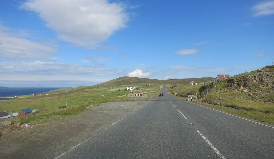
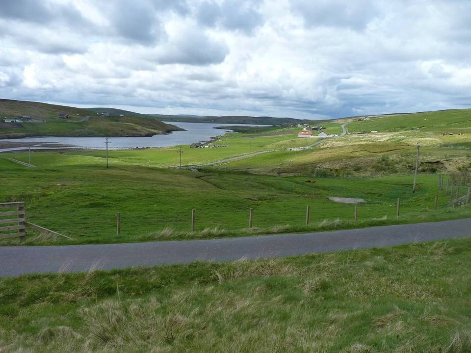
2 photographs from the road

Photo: Des Blenkinsopp · CC BY-SA 2.0 · Wikimedia Commons