Road · United Kingdom
Stage 3 of 3 · EuroVelo 12← Stage 2
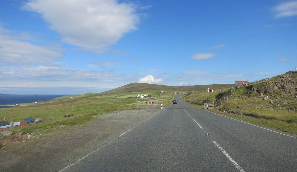
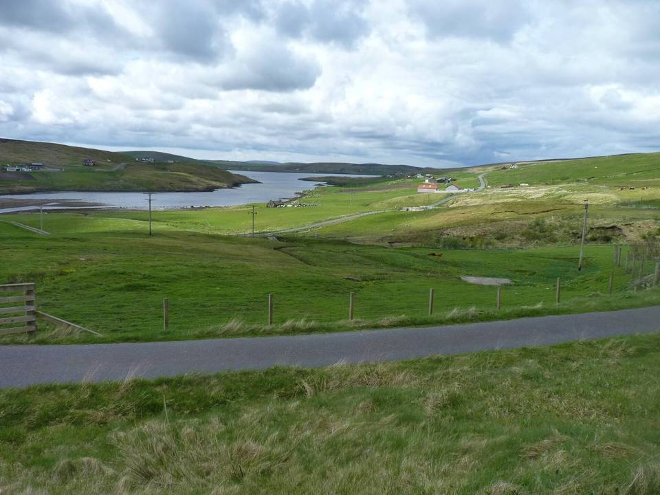
A hilly 20 km road cycling route from Gutcher, Shetland to Saxa Vord through Baltasound, Hagdale and Haroldswick, with 200 m of climbing. Most of it (17 km) is on main roads without a cycle lane.
Starting near Belmont, the route follows mostly the A968 main road for 17 km with 12% on minor roads and 2% on quiet streets. The surface is 99% paved. Climbing begins around 5.7 km, continuing for 2.3 km with an average gradient of 2.6% and a maximum of 4%, reaching the high point of 96 m near 8 km beside the Hill of Caldback. The route then descends over 3.4 km from 8.2 km down to about 2 m near 16.4 km, past the Hill of Voesgarth. The rest of the course is a mix of flat and rolling road until Saxa Vord and Norwick at 19 and 20 km respectively.
The longest stretch without café, shop, or water is the first 11.3 km from the start at Belmont. After this, Final Checkout Café and convenience store lie around 14.3 km; toilets are also nearby. North Base Café, Unst Cycle Hire (bike rental), and Shetland Reel Distillery lie around 18.6 to 18.7 km. A petrol station is available in Baltasound at 11.9 km. Belmont Ferry Terminal offers a bailout option near the start.
Peaks near the road include Gallow Hill at 0.8 km, Shore Hill at 2 km, Hill of Caldback at 8.2 km, and Hill of Voesgarth at 9.5 km. The A968 road is the longest named road ridden for 15.2 km, with 17 km on main roads lacking cycle lanes. The steepest 500 m has a gradient of 5.8% near 1.1 km.
| Climb | Starts at | On this ride | Top on this ride |
|---|---|---|---|
| Unnamed climb | 5.7 km | 2.3 km · 59 m · 2.6 % · max 4 % | 96 m |
This is not a cycle-track route: 85% is on main roads without a cycle lane. Riders should be comfortable sharing the road with faster traffic.
No stretch is longer than 15 km without a café, shop or water. Along the route: 4 cafés and restaurants, 3 shops, 2 petrol stations, 1 public toilet and 1 bike shop.