Cyclists.com

Ulsta to Gutcher

Ulsta, Shetland, United KingdomRoad

Signed route The waymarked EuroVelo 12 (EuroVelo EV12), traced from OpenStreetMap and measured against the terrain model; no member has recorded it yet. Stage 2 of 3 of the EuroVelo 12. Ridden it? Add your recording and photos.

30 km
Distance
262 m
Elevation gain
Easy
Difficulty
Paved
Surface
Download GPXMap

Elevation profile

Total ascent
262 m
Distance
30 km
020406080m0 km102030 km77 m · highest, at 18.4 kmStartFinish

Route overview

Suitable for riders able to manage 30 km with 262 m of climbing on mainly paved roads.

Stage 2 of 3 of the EuroVelo 12: 30.4 km from Ulsta to Gutcher with 262 m of climbing, on the signed route.

Starting from Ulsta just after the first 0.5 km, the route climbs steadily for 1.6 km gaining 53 m at an average gradient of 3.2%, passing near the Hill of Clothan, Hill of Setter and Hill of Sherin. It follows the A968 main road for 27.2 km, mostly paved (92%) but includes 0.6 km each on a track and a quiet street, with 1.8 km unmapped. The first half of the ride includes most climbing, with a 2.2 km climb from km 8.5 gaining 62 m at 2.8% average and another climb from km 16.6 over 1.9 km with 54 m gain at 2.9% average to the highest point of 76 m at km 18.5. Beyond this, the route descends towards Gutcher with the longest descent covering 2 km from km 5.9. Places along the route include West Yell (4.1 km), Windhouse (14.6 km), Colvister (21.5 km), Sellafirth (24.9 km), Gutcher (27.8 km) and South Garth (28.4 km). There are no cafés, shops or water points on the route; Yell Eats fast food and toilets are available near the start at Ulsta, and toilets and ferry access at Gutcher provide bail-out options. Peaks such as Hill of Sandwick, Hill of Bouster, Hill of Camb and Sandwater Hill lie near the road. The route's surface and main road character support a steady, moderate effort over mainly paved surfaces.

Highlights

  • Hill of Clothan near the start
  • Highest point at 76 m around km 18.5
  • Hill of Sandwick near km 10.4
  • Ferry points at Ulsta and Gutcher

Along the route

Measured from the recorded track and OpenStreetMap.

Places passed

  1. West Yell 4.1 km
  2. Windhouse 14.6 km
  3. Colvister 21.5 km
  4. Sellafirth 24.9 km
  5. Gutcher 27.8 km

Climbs

ClimbStarts atLengthGainAverageMaxTop
0 km1.6 km53 m3.2 %5.6 %60 m
8.5 km2.2 km62 m2.8 %4.6 %76 m
16.6 km1.9 km54 m2.9 %4.6 %76 m

High point 76 m at 18.5 km; low point 0 m. Passes beneath Hill of Clothan, Hill of Setter, Hill of Sherin.

What this ride is like

Measured from OpenStreetMap along the track and the elevation profile.

Roads
90% main road · 2% track · 2% quiet street · 6% unmapped
Main roads
27.2 km on main roads without a cycle lane — likely busier
Main roads used
A968 (27 km)
Surface
Paved throughout
Gradient
27% climbing · 28% descending · 45% flat
Longest descent
2 km from 5.9 km, dropping 46 m

Along the way

Within a few hundred metres of the track, from OpenStreetMap. Opening hours change — treat this as where to look, not a promise.

Longest stretch without a café, shop or water: 30 km, from 0 km to 30 km.

Food, water and shops

  1. 0 kmYell Eats · fast food · 170 m off route
  2. 0 kmToilets · 190 m off route
  3. 28.1 kmToilets · on the route

Need to bail out?

  • 0 kmUlsta (ferry), 150 m off route
  • 28.2 kmGutcher (ferry), on the route

Whether bikes are carried depends on the service — check before relying on it.

Worth a stop

  • 10.4 kmHill of Sandwick (peak, 80 m)
  • 14.3 kmWindhouse Broch (archaeological site)
  • 30.3 kmNorse farmstead (ruins)

At the start

  • Ulsta · ferry · 150 m
  • Yell Eats · fast food · 170 m

At the finish

  • Belmont Ferry Terminal · ferry · 60 m

Stay after this ride

  • Gardiesfauld Hostel · hostel · 2.6 km from the finish
  • Gardiesfauld Campsite · campsite · 2.6 km from the finish

Practical information

Surface
Paved
Route shape
Point to point
Riding time
2 h 10 min

Know before you go

  • 27.2 km on main roads without cycle lanes
  • Longest stretch 30.3 km without café, shop or water
  • 2% of route on gravel or unpaved surface

Routes are for inspiration. Roads, surfaces and conditions change — check locally and ride within your limits.

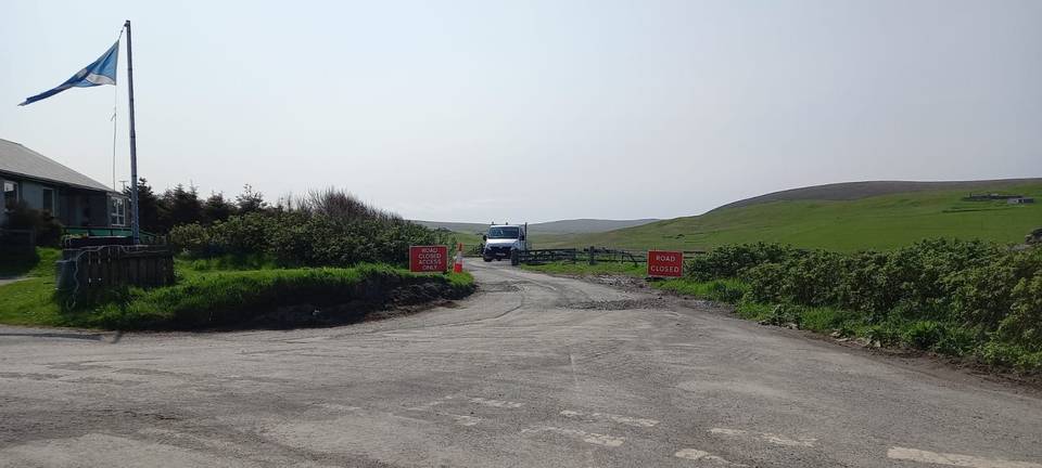
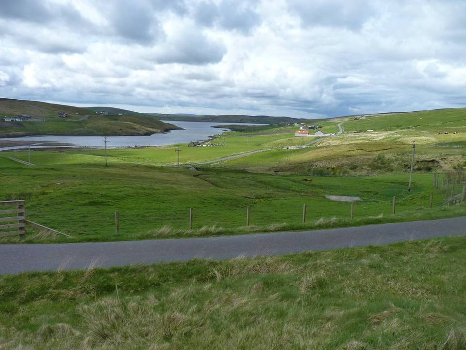
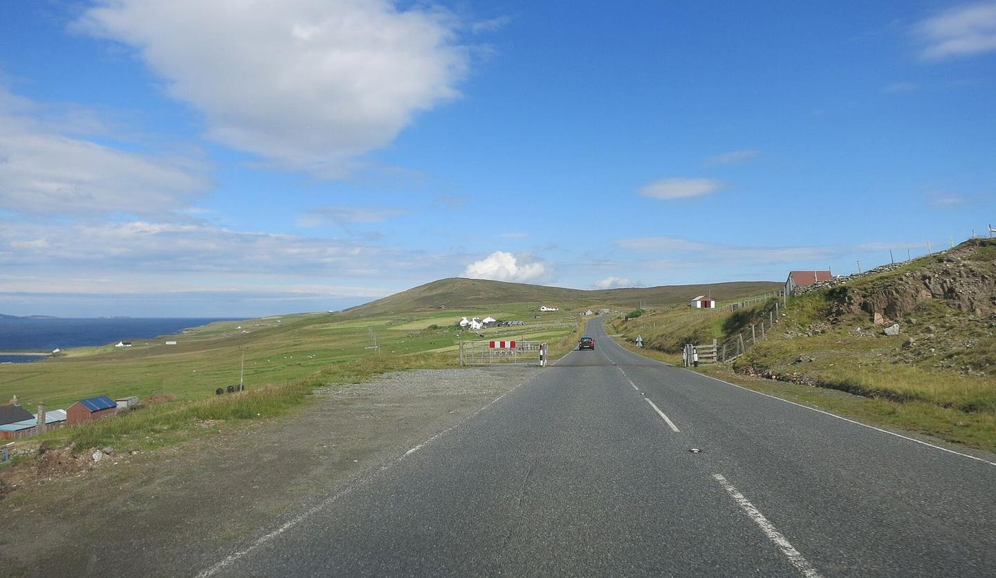
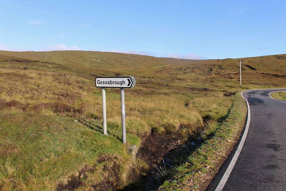
2 photographs from the road

Photo: Des Blenkinsopp · CC BY-SA 2.0 · Wikimedia Commons · Photo: Elisabeth Burton · CC BY-SA 2.0 · Wikimedia Commons

Stage of