Road · Austria
Stage 5 of 5 · Munich to Venice← Stage 4
Matrei am Brenner to Bressanone
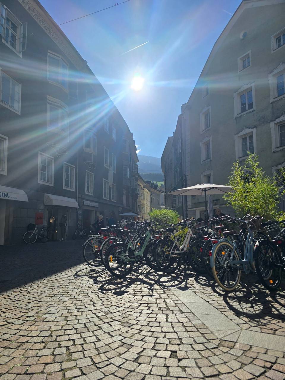
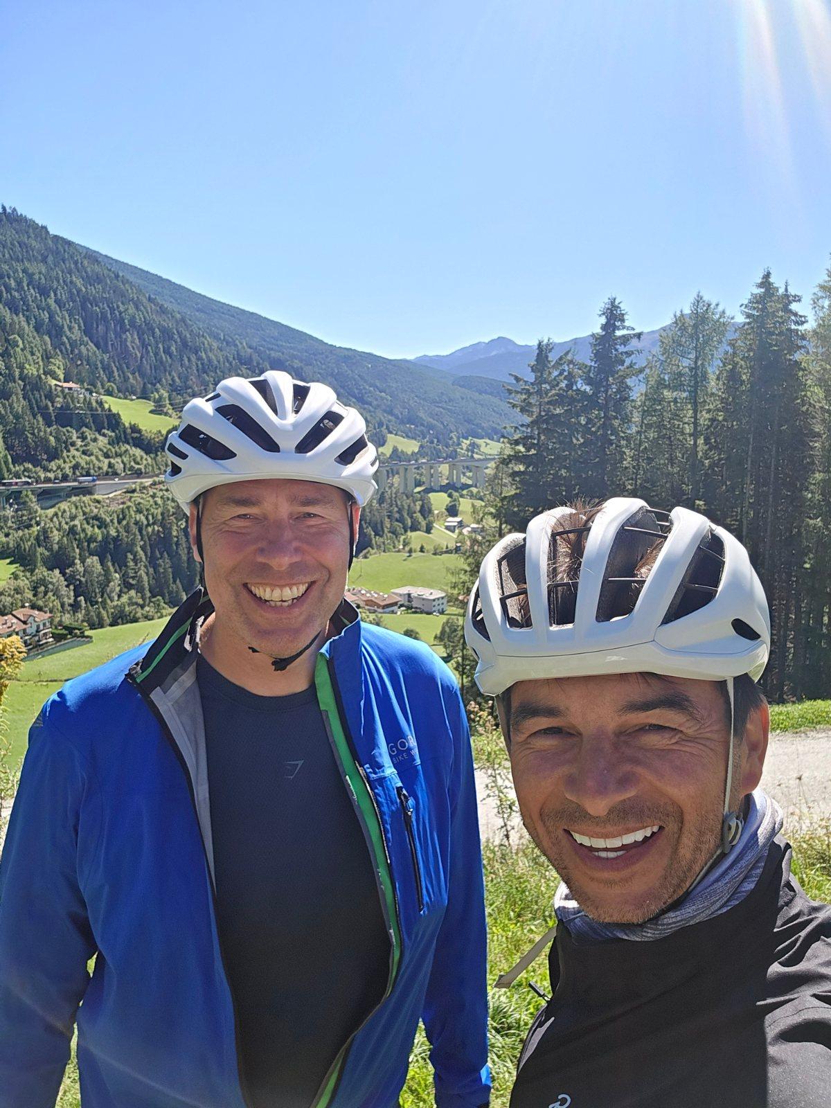
An amazing ride. Glorious descending after the top of the Brenner Pass. Stunning scenery if you get a good day.
At a glance
- Best for
- Rolling day rides
- Distance
- 76.5 km
- Elevation gain
- 562 m
- Riding time
- 3½–5 hours
- Difficulty
- Moderate
- Bike
- Road bike
- Surface
- Mostly paved
- Traffic
- Some main roads
- Food & water
- Regular
- Navigation
- GPX download
- Start → finish
- Matrei am Brenner → Bressanone
Map and elevation profile
Elevation profile
- 562 m
- 77 km
What it was like to ride
Route description
- Matrei am Brenner
- Mühlensiedlung
- Wolf
- Brennersee
- Ast - Asta
- Unterried - Novale di sotto
- Freienfeld - Campo di Trens
- Mittewald - Mezzaselva
- Neustift - Novacella
- Bressanone
Starting at Schöfens near Matrei am Brenner, the route passes many small settlements including Mühlbachl, Steinach am Brenner, and St. Jodok am Brenner within the first 10 km. The first climb begins at 8 km, lasting 3 km with an average gradient of 2.9%, reaching 1175 m at the top. A longer climb starts at 11.5 km, extending 5.6 km with an average gradient of 3.8% and a maximum of 7.8%, reaching 1379 m. The route follows the Brennerstraße for 13.8 km. After reaching the highest point near Kerschbaumerberg at 16 km, the ride descends. There is a 3.9 km longest descent from 18.1 km dropping 80 m.
The ride uses a mix of road types: 32% cycle paths, 25% main roads (13.8 km on Brennerstraße), 13% quiet streets, and smaller shares of tracks, minor roads, and paths. About 95% of the surface is paved, with 4% gravel. Cyclists are on main roads without a cycle lane for 19.2 km and on roads with speed limits over 80 km/h for 5.3 km. Cafés, shops, water, bike shops and toilets are frequent especially near towns. There's a longest stretch of 7.3 km without café, shop or water from km 25.1 to 32.4. Several railway stations and bailout points lie along the way, including Matrei am Brenner at 0.9 km and Brixen at 73.5 km.
The second half of the ride includes further smaller climbs at 43.4 km (1.5 km long) and 63.1 km (1.9 km long) with average gradients of 3.3%. The route continues past many small settlements and ends near Brixen - Bressanone at 73 km. There are bakery cafés and bike shops at start and finish.
Why ride this route?
- Tops out at 1,389 m, 17.6 km in.
- Crosses a border: Austria and Italy.
Highlights
- Climb from km 8, 3 km at 2.9%
- Longer climb from km 11.5, 5.6 km at 3.8%
- Highest point near Kerschbaumerberg at 16 km
- Cycle path for 32% of route
Along the route
Places passed· crosses into Italy
Climbs
| Climb | Starts at | On this ride | Top on this ride |
|---|---|---|---|
| Unnamed climb | 8 km | 3 km · 89 m · 2.9 % · max 5 % | 1175 m |
| Unnamed climb | 11.5 km | 5.6 km · 214 m · 3.8 % · max 7.8 % | 1379 m |
| Unnamed climb | 43.4 km | 1.5 km · 48 m · 3.3 % · max 5.5 % | 980 m |
| Unnamed climb | 63.1 km | 1.9 km · 61 m · 3.3 % · max 5.3 % | 779 m |
Traffic, surface and gradient
Expect stretches on main roads without a cycle lane (19.2 km in all) between quieter sections.
- Roads
- 32% cycle path · 25% main road · 13% quiet street · 13% track · 17% other roads and tracks
- Main roads
- 19.2 km on main roads without a cycle lane — likely busier
- Fast roads
- 5.3 km on roads with a limit of 80 km/h or more
- Cycle paths
- 23.7 km on cycle paths or roads with a cycle lane
- Main roads used
- Brennerstraße (14 km), GS/SC16.5 (4 km)
- Surface
- Predominantly paved: 95% is mapped as paved, 4% as unpaved or gravel.
- Gradient
- 20% climbing · 33% descending · 47% flat
- Steep sections
- 2.1 km over 5%
- Longest descent
- 3.9 km from 18.1 km, dropping 80 m
Food, water and services
No stretch is longer than 15 km without a café, shop or water. Along the route: 237 cafés and restaurants, 51 shops, 66 water points, 17 petrol stations, 30 public toilets and 15 bike shops.
Food, water and shops in ride order
- 0.3 kmAste Brot · café · 50 m off route
- 0.4 kmNepomukbrunnen · drinking water · 50 m off route
- 5.2 kmBäckerei Pardeller · bakery · on the route
- 11.2 kmGT · petrol station · 50 m off route
- 11.8 kmSpar · supermarket · 60 m off route
- 16.9 kmToilets · 40 m off route
- 17.1 kmDrinking water · 40 m off route
- 20.6 kmSt. Zacharias - San Zaccaria · spring · 50 m off route
- 24.5 kmToilets · on the route
- 32.4 kmCafe Schuster · café · 60 m off route
- 37.7 kmStadtbrunnen · drinking water · 60 m off route
- 38 kmRad Sport Freund · bike shop · 50 m off route
- 38.9 kmEurospar · supermarket · 80 m off route
- 59 kmMarket Conad · supermarket · 110 m off route
- 62.4 kmBar al Tiiglio · café · 40 m off route
- 65.9 kmToilets · 100 m off route
- 72.6 kmDrinking water · on the route
- 73 kmToilets · 30 m off route
Need to bail out?
- 0.9 km — Matrei am Brenner (station), 60 m off route
- 8.8 km — St. Jodok am Brenner (halt), 850 m off route
- 17.1 km — Brenner - Brennero (station), 150 m off route
- 32.3 km — Gossensaß - Colle Isarco (station), 150 m off route
- 38.4 km — Sterzing-Pfitsch - Vipiteno-Val di Vizze (station), 230 m off route
- 59 km — Franzensfeste - Fortezza (station), 40 m off route
- 73.5 km — Brixen - Bressanone (station), 500 m off route
Worth a stop
- 25.6 km — Ibsenplatz (viewpoint)
- 33.9 km — Straßberg - Castello della Strada (castle)
- 37.7 km — Zwölferturm - Torre delle dodici (monument)
- 53.9 km — Schaukraftwerk Sachsenklemme - Centrale elettrica di Sacco all'Isarco (monument)
- 69.2 km — Stiftsgarten - Giardino storico (attraction)
- 73.1 km — Pius VII. (monument)
Stay after this ride
- Hotel Garni Traube · hotel · 100 m from the finish
- fink Restaurant & Suites · hotel · 520 m from the finish
- NICE LIVING · apartment · 530 m from the finish
- Jugendhaus Kassianeum · hostel · 340 m from the finish
- Goldenes Kreuz · hotel · 550 m from the finish
Start and access
At the start
- Food and coffee
- Aste Brot (60 m), Konditorei Wagner (140 m), Jump In (100 m)
At the finish
- Bikes and repair
- Nardello (400 m), Soracase (540 m)
- Food and coffee
- Gasser (460 m), Millenium (380 m), Stampfl (450 m)
Know before you go
- 19.2 km on main roads without cycle lane
- 5.3 km on roads with speed limits 80 km/h or more
- Gravel or unpaved surface on 4% of route
- Longest no café/shop/water stretch 7.3 km from 25.1 to 32.4 km