
Cyclists.com

Stage 4 of 5 · Munich to Venice← Stage 3Stage 5

Wiesing to Matrei am Brenner

72 km road cycling route733 m climbing3½–5 hoursGPX

Wiesing, Tyrol, Austria · Road

A hilly 72 km road cycling route from Wiesing, Tyrol to Matrei am Brenner through Jenbach, Neu-Terfens and Häusern, with 733 m of climbing.
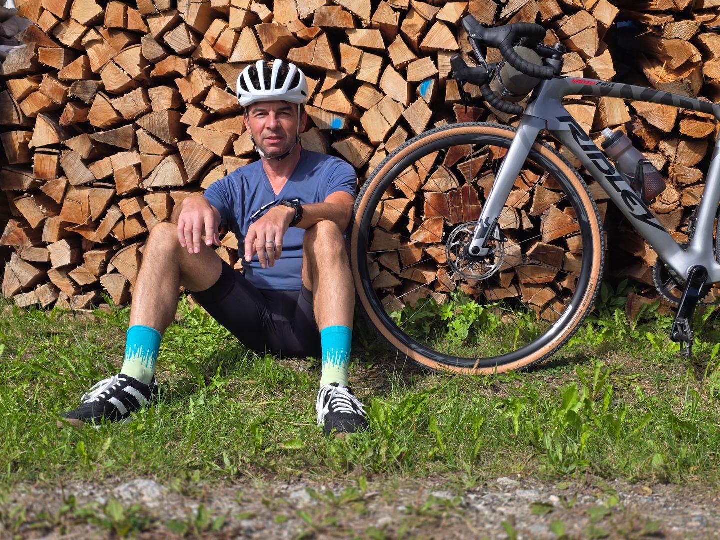
Route contributed by Marcus · Created from a ride on Monday 21st September 2026

Download GPXMap

At a glance

Best for
Short, climbing-heavy rides for fit, experienced riders
Distance
72.1 km
Point to point
Elevation gain
733 m
10 m per km
Riding time
3½–5 hours
moving time, estimated
Difficulty
Hard
Bike
Road bike
from the mapped surface
Surface
Mostly paved
94% paved · 4% unpaved · 1% no data
Traffic
Some main roads
24.7 km on main roads without a cycle lane · 7.7 km where the limit is 80 km/h or more · 9.4 km on cycle paths or lanes
Food & water
Regular
554 cafés and restaurants · 102 shops · 90 water points · 18 petrol stations · 46 public toilets · 56 bike shops
Navigation
GPX download
free, no sign-in
Start → finish
Wiesing → Matrei am Brenner

Map and elevation profile

Elevation profile

Total ascent
733 m
Distance
72 km
02505007501,0001,250m0 km20406072 km1,068 m · highest, at 67.0 kmStartFinish

What it was like to ride

Route description

  1. Wiesing
  2. Jenbachkm 6
  3. Neu-Terfenskm 22
  4. Häusernkm 36
  5. Schlachthofkm 42
  6. Mariahilfkm 46
  7. Villkm 54
  8. Oberstraßekm 62
  9. Riedkm 66
  10. Matrei am Brennerkm 72

The ride begins just outside Wiesing at 2.8 km and follows a route through many towns including Jenbach, Schwaz, Wattens, Hall in Tirol, and Innsbruck before heading to Matrei am Brenner. The route covers 72.1 km, with most of the surface paved (94%) and some gravel or unpaved sections (4%). Road types vary with 24.5 km on main roads (36%), 10.4 km on quiet streets (15%), and other stretches on minor roads, tracks, paths, and cycle paths. Note 24.7 km are on main roads without a cycle lane, and 7.7 km on roads posted at 80 km/h or more. Longest named roads ridden include Römerstraße for 10.2 km and Schalserstraße for 6.1 km.

Climbing is mostly in two main sections starting at 50.8 km for 5.6 km gaining 422 m averaging 7.6% gradient up to 1031 m, followed by a smaller climb starting at 57.4 km for 1.5 km gaining 54 m at 3.6% average. The elevation ranges from 534 m at 10.3 km to a high of 1070 m near 63.9 km. The route passes beneath peaks Burgeck (734 m at 4.9 km) and Brandkögerl near 6.9 km. Facilities such as bakeries, cafés, restaurants, supermarkets, bike shops, stations, petrol stations and toilets are frequent along the route, with the longest stretch without café, shop or water spanning 5.4 km from 62.1 to 67.5 km.

Why ride this route?

  • Tops out at 1,070 m, 63.9 km in.

Highlights

  • Climb of 422 m over 5.6 km averaging 7.6%
  • Passes Innsbruck at 45.9 km
  • Burgeck peak near 4.9 km
  • Römerstraße for 10.2 km

Along the route

Measured from the route line, the Copernicus elevation model and OpenStreetMap.

Places passed

  1. Wiesing 2.8 km
  2. Jenbach 5.7 km
  3. Tratzberg 8.3 km
  4. Stans 11.1 km
  5. Schwaz 14.3 km
  6. Altmahd 17 km
  7. Pill 17.5 km
  8. Terfens 19.9 km
  9. Neu-Terfens 22.3 km
  10. Wattens 26.2 km
  11. Fritzens 26.4 km
  12. Baumkirchen 28.2 km
  13. Volders 29 km
  14. Mils 32.2 km
  15. Hall in Tirol 34.3 km
  16. Häusern 35.6 km
  17. Ampass 37.9 km
  18. Neu-Rum 39.2 km
  19. Olympisches Dorf 39.8 km
  20. Gewerbegebiet Roßau 40.1 km
  21. Gewerbegebiet Mühlau/Arzl 40.4 km
  22. Arzl 41 km
  23. Reichenau 41 km
  24. Schlachthof 41.7 km
  25. Mühlau 42.3 km
  26. Saggen 43.2 km
  27. Hungerburg 44.1 km
  28. Sankt Nikolaus 45.1 km
  29. Hötting 45.4 km
  30. Altstadt 45.5 km
  31. Mariahilf 45.6 km
  32. Mariahilfpark 45.6 km
  33. Innsbruck 45.9 km
  34. Innenstadt 45.9 km
  35. Wilten 46.2 km
  36. Dreiheiligen 47.2 km
  37. Pradl 47.6 km
  38. Vill 53.9 km
  39. Igls 54.6 km
  40. Patsch 57.9 km
  41. Ruggschrein 58.8 km
  42. Hennenboden 59.5 km
  43. St. Peter 60.5 km
  44. Mühltal 61 km
  45. Niederstraße 62.1 km
  46. Oberstraße 62.2 km
  47. Walzn 62.8 km
  48. Penzen 63.9 km
  49. Innerellbögen 63.9 km
  50. Erlach 64.5 km
  51. Oberellbögen 64.7 km
  52. Gedeir 65.6 km
  53. Ried 65.6 km
  54. Wiesengrund 66.3 km
  55. Oberpfons 66.8 km
  56. St. Margareta 67.4 km
  57. Pfons 67.5 km
  58. Waldfrieden 67.8 km
  59. Schöfens 68 km
  60. Mühlbachl 68.3 km
  61. Matrei am Brenner 69 km

Climbs

Climbs in ride order: where each starts, what this ride climbs, and the full named ascent
ClimbStarts atOn this rideTop on this ride
Unnamed climb50.8 km5.6 km · 422 m · 7.6 % · max 12.3 %1031 m
Unnamed climb57.4 km1.5 km · 54 m · 3.6 % · max 6.3 %1065 m

High point 1070 m at 63.9 km; low point 534 m. Passes beneath Burgeck, Brandkögerl.

Traffic, surface and gradient

Measured from OpenStreetMap along the track and the elevation profile.

Expect stretches on main roads without a cycle lane (24.7 km in all) between quieter sections.

Roads
36% main road · 15% quiet street · 12% minor road · 11% track · 26% other roads and tracks
Main roads
24.7 km on main roads without a cycle lane — likely busier
Fast roads
7.7 km on roads with a limit of 80 km/h or more
Cycle paths
9.4 km on cycle paths or roads with a cycle lane
Main roads used
Römerstraße (10 km), Schalserstraße (6 km)
Surface
Predominantly paved: 94% is mapped as paved, 4% as unpaved or gravel.
Gradient
16% climbing · 12% descending · 72% flat
Steep sections
5.5 km over 5% · 2.3 km over 8% · 1.1 km over 10%

Food, water and services

Within a few hundred metres of the track, from OpenStreetMap. Opening hours change — treat this as where to look, not a promise.

No stretch is longer than 15 km without a café, shop or water. Along the route: 554 cafés and restaurants, 102 shops, 90 water points, 18 petrol stations, 46 public toilets and 56 bike shops.
Food, water and shops in ride order

  1. 0 kmDrinking water · on the route
  2. 0.5 kmMPREIS · supermarket · 50 m off route
  3. 5.6 kmSpar · supermarket · 100 m off route
  4. 5.7 kmToilets · on the route
  5. 13.8 kmDrinking water · on the route
  6. 14.1 kmEzeb · bakery · on the route
  7. 18.8 kmTennisoase · pub · 90 m off route
  8. 19.3 kmOMV · petrol station · 280 m off route
  9. 30.5 kmBackerei Cifci · bakery · 80 m off route
  10. 39 kmDrinking water · on the route
  11. 39.7 kmCafe im Grünen · café · 70 m off route
  12. 43.2 kmEni · petrol station · 30 m off route
  13. 45.7 kmSarner Brünnl · drinking water · on the route
  14. 46.8 kmBilla · supermarket · on the route
  15. 50.5 kmBergisel Sky · café · 330 m off route
  16. 54.6 kmKur-Apotheke · pharmacy · 30 m off route
  17. 58.9 kmAlter Schinterhof · spring · 60 m off route
  18. 68.5 kmToilets · 100 m off route

Need to bail out?

  • 0.5 kmJenbach Achenseebahn (station), 370 m off route
  • 13.8 kmSchwaz (station), 50 m off route
  • 26.4 kmFritzens-Wattens (station), 40 m off route
  • 34.7 kmHall in Tirol (station), 120 m off route
  • 47.3 kmInnsbruck Hauptbahnhof (station), 270 m off route
  • 59.2 kmPatsch (halt), 590 m off route
  • 69 kmMatrei am Brenner (station), 580 m off route

Whether bikes are carried depends on the service — check before relying on it.

Worth a stop

  • 5.6 kmAlte Jenbacher Grubenlok (attraction)
  • 42.9 kmRotunde (monument)
  • 46.4 kmPalais Troyer-Spaur (castle)
  • 68.2 kmBurg Trautson (castle)

Stay after this ride

  • Pension Steiner · guest house · 10 m from the finish
  • Hotel Krone · hotel · 180 m from the finish
  • Hotel Gasthof Fuchs · hotel · 1.3 km from the finish
  • Parkhotel Matrei · hotel · 540 m from the finish
  • Hotel Stolz · hotel · 890 m from the finish

Start and access

Starts at Wiesing. Mapped within a short walk of the start and finish, from OpenStreetMap.

At the start

Food and coffee
Filos (200 m), Cafe-Konditorei Pernter (130 m), Pssst (130 m)

At the finish

Food and coffee
Aste Brot (70 m), Konditorei Wagner (140 m), Pizzeria Toscana (40 m)
Pharmacy and medical
Wipptal-Apotheke (70 m)

Know before you go

  • 24.7 km on main roads without a cycle lane
  • 7.7 km on roads with speed limit 80 km/h or more
  • Gravel or unpaved sections total 4% of route
  • No café, shop or water for 5.4 km between 62.1 km and 67.5 km

Routes are for inspiration. Roads, surfaces and conditions change — check locally and ride within your limits.

Stage of

About this route

Ridden by
Marcus
Date ridden
Route line
Built from a GPS recording of the ride.
Elevation
Recalculated from the Copernicus GLO-90 terrain model every 50 m, not the device’s barometer.
Roads, surface, services
Measured along the line from OpenStreetMap extracts.
GPX
Generated from the route line: track points only, no timestamps or personal data.
Page added
Page last updated

See something wrong with this ride?

Rides starting nearby