Cyclists.com

Holzkirchen to Jenbach

82 km road cycling route721 m climbing4–5½ hoursGPX

Holzkirchen, Bavaria, Germany · Road

A hilly 82 km road cycling route from Holzkirchen, Bavaria to Jenbach through Marschall, Reitham and Laffenthal, with 721 m of climbing. Mixed surface: 78% is mapped as paved and 21% as gravel or unpaved.

Route contributed by Marcus · Created from a ride on Sunday 20th September 2026

Download GPXMap

At a glance

Best for
Hilly days out
Distance
81.9 km
Point to point
Elevation gain
721 m
9 m per km
Riding time
4–5½ hours
moving time, estimated
Difficulty
Moderate
Bike
Gravel bike
from the mapped surface
Surface
Mixed surface
78% paved · 21% unpaved · 1% no data
Traffic
Mostly minor roads
12 km on main roads without a cycle lane · 3.4 km where the limit is 80 km/h or more · 6.9 km on cycle paths or lanes
Food & water
Regular
190 cafés and restaurants · 42 shops · 35 water points · 9 petrol stations · 35 public toilets · 22 bike shops
Navigation
GPX download
free, no sign-in
Start → finish
Holzkirchen → Jenbach

Map and elevation profile

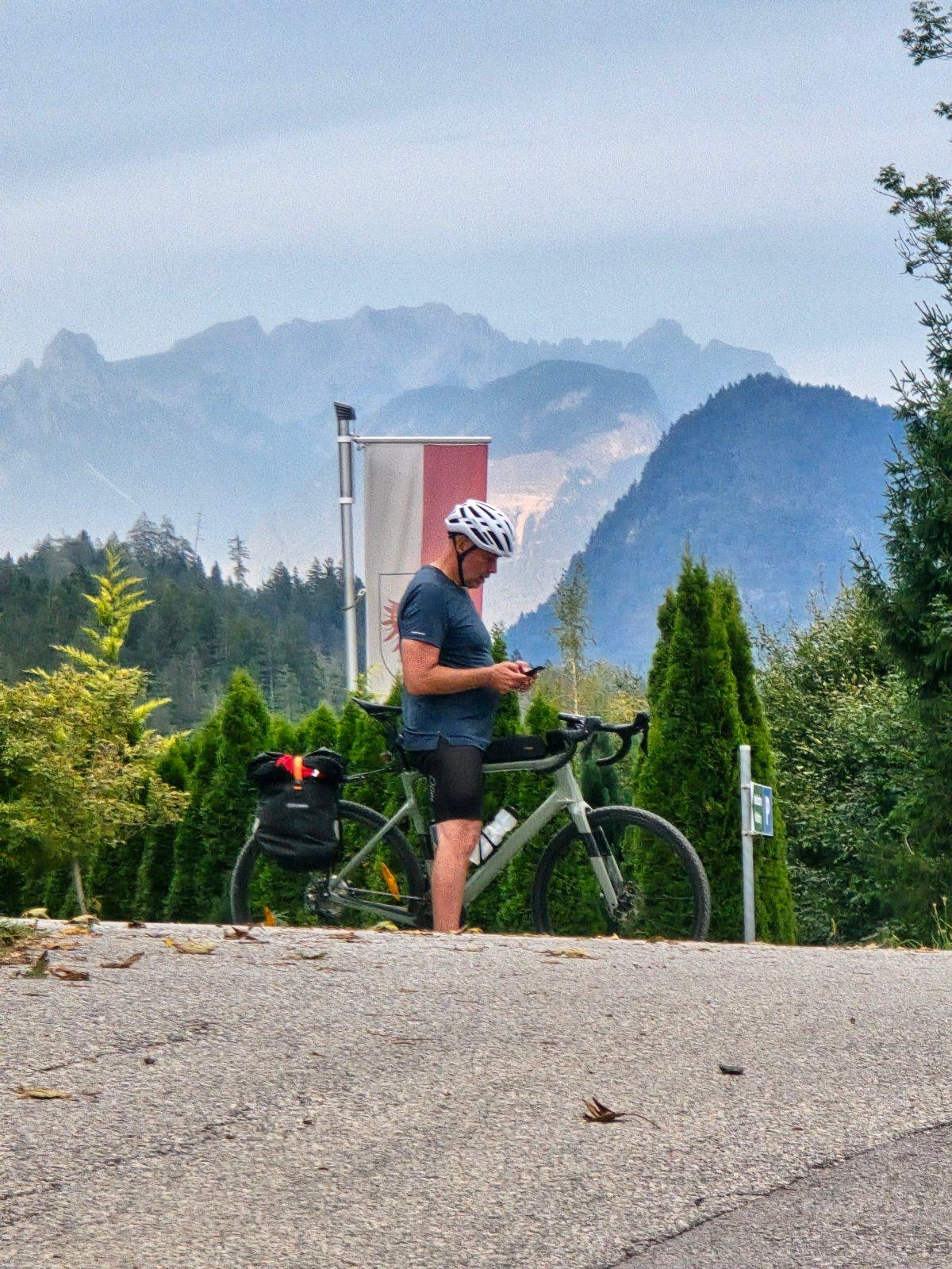
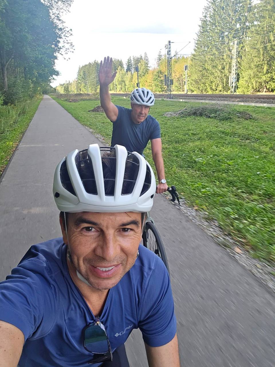
On the road: Holzkirchen to Jenbach, Holzkirchen

Elevation profile

Total ascent
721 m
Distance
82 km
02004006008001,0001,200m0 km20406082 km981 m · highest, at 46.5 kmStartFinish

What it was like to ride

Route description

  1. Holzkirchen
  2. Marschallkm 1
  3. Reithamkm 9
  4. Laffenthalkm 13
  5. Am Seekm 20
  6. Pointkm 31
  7. Wildbad Kreuthkm 35
  8. Achenwaldkm 51
  9. Häusernkm 71
  10. Jenbachkm 82

Starting in Holzkirchen, the route heads southeast through a series of small places including Oberwarngau, Allerheiligen, and Burgweg. The route mixes various surfaces, with 21% on gravel or unpaved tracks, and predominantly follows minor roads and tracks, with 12 km on main roads without cycle lanes. The first half of the ride includes moderate climbing accounting for 45% of total ascent.

The route climbs more noticeably after Glashütte at 42.6 km, including a 2.8 km climb at an average of 3%, topping out at 981 m. Another steeper climb follows starting at km 50.7 for 1.7 km at an average gradient of 5.9%, peaking at 940 m. The descent towards Jenbach begins after km 75.4, a long 4.3 km descent dropping 408 m. The route crosses into Austria after Bavaria.

Along the route, cafes and shops are spaced with the longest stretch without food or water between km 7.7 and 16.9 (9.2 km). Key cafes and bakeries appear in Holzkirchen, Tegernsee, and near the lake. Bailout points include train stations at Holzkirchen, Warngau, Tegernsee, and Jenbach, plus ferry stops near Achenkirch and Maurach.

Why ride this route?

  • Tops out at 981 m, 45.4 km in.

Highlights

  • Climb past Glashütte topping at 981 m
  • Descent begins at km 75.4 dropping 408 m
  • Pass through Tegernsee at 23.4 km
  • Longest no-service stretch from 7.7 to 16.9 km

Along the route

Measured from the route line, the Copernicus elevation model and OpenStreetMap.

Places passed

  1. Lochham 2.4 km
  2. Thann 2.6 km
  3. Sufferloh 3.9 km
  4. Thannseidl 4.9 km
  5. Oberwarngau 6.8 km
  6. Allerheiligen 8.5 km
  7. Reitham 9.3 km
  8. Böttberg 9.8 km
  9. Einhaus 11 km
  10. Burgweg 11.9 km
  11. Bernloh 12.2 km
  12. Bürgtal 12.8 km
  13. Bürg 13.1 km
  14. Gammerhof 13.4 km
  15. Laffenthal 13.4 km
  16. Wehdom 13.9 km
  17. Zahlersberg 14.5 km
  18. Festenbach 15.1 km
  19. Rainmühle 16 km
  20. Mühlthal 16.2 km
  21. Dürnbach 17.6 km
  22. Gmund am Tegernsee 18.4 km
  23. Am See 19.8 km
  24. Sankt Quirin 21.4 km
  25. Tegernsee 23.4 km
  26. Rottach-Egern 26.4 km
  27. Pförn 28.9 km
  28. Enterbach 29.2 km
  29. Schärfen 29.5 km
  30. Scharling 30.3 km
  31. Point 30.7 km
  32. Brunnbichl 31.5 km
  33. Kreuth 32.7 km
  34. Enterfels 33 km
  35. Raineralm 33.7 km
  36. Grüneck 33.8 km
  37. Schanz 34.8 km
  38. Wildbad Kreuth 35.1 km
  39. Trifthütte 39 km
  40. Bayerwald 39.6 km
  41. Hubertus 41.2 km
  42. Glashütte 42.6 km
  43. Stubenalm 43.9 km
  44. Stuben 44.2 km
  45. Kaiserwacht 46.6 km
  46. Achenwald 51.1 km
  47. Achental 55.8 km
  48. Achenkirch 57.5 km
  49. Fiechtersiedlung 58.2 km
  50. Achensee 60.5 km
  51. Hinterberg 68.7 km
  52. Buchau 69 km
  53. Rofangarten 69.7 km
  54. Häusern 71 km
  55. Maurach 71.4 km
  56. Lärchenwiese 71.4 km
  57. Eben am Achensee 72.7 km
  58. Eben 73 km
  59. Kasbach 74.6 km
  60. Erlach 75.6 km
  61. Wiesing 76.6 km
  62. Jenbach 79.1 km

Climbs

Climbs in ride order: where each starts, what this ride climbs, and the full named ascent
ClimbStarts atOn this rideTop on this ride
Unnamed climb42.6 km2.8 km · 82 m · 3 % · max 5.6 %981 m
Unnamed climb50.7 km1.7 km · 101 m · 5.9 % · max 11.1 %940 m

High point 981 m at 45.4 km; low point 552 m.

Traffic, surface and gradient

Measured from OpenStreetMap along the track and the elevation profile.

Mostly minor roads and streets on the map; 12 km is on main roads without a cycle lane.

Roads
27% track · 23% quiet street · 18% minor road · 15% main road · 17% other roads and tracks
Main roads
12 km on main roads without a cycle lane — likely busier
Fast roads
3.4 km on roads with a limit of 80 km/h or more
Cycle paths
6.9 km on cycle paths or roads with a cycle lane
Main roads used
Südliche Hauptstraße (6 km), MB 10 (4 km)
Surface
Mixed surface: 78% is mapped as paved and 21% as gravel or unpaved.
Gradient
20% climbing · 18% descending · 61% flat
Steep sections
1.6 km over 5% · 0.7 km over 8% · 0.3 km over 10%
Longest descent
4.3 km from 75.4 km, dropping 408 m

Food, water and services

Within a few hundred metres of the track, from OpenStreetMap. Opening hours change — treat this as where to look, not a promise.

No stretch is longer than 15 km without a café, shop or water. Along the route: 190 cafés and restaurants, 42 shops, 35 water points, 9 petrol stations, 35 public toilets and 22 bike shops.
Food, water and shops in ride order

  1. 0 kmAbfüllerei Unverpacktladen · supermarket · 110 m off route
  2. 0.3 kmToilets · 90 m off route
  3. 0.4 kmDrinking water · 30 m off route
  4. 7.7 kmIl Gelato Scapolan · café · 50 m off route
  5. 18.4 kmFahrrad Guggenbichler · bike shop · 40 m off route
  6. 19.2 kmDrinking water · 60 m off route
  7. 19.4 kmBehindertentoilette · toilets · 80 m off route
  8. 25.8 kmRepair stand · 90 m off route
  9. 26.1 kmToilets · 30 m off route
  10. 32.5 kmBäckerei Sanktjohanser · bakery · 40 m off route
  11. 37.3 kmToilets · on the route
  12. 42.6 kmGlashütte · restaurant · 50 m off route
  13. 58.7 kmBaguette · bakery · 80 m off route
  14. 59.6 kmHausapotheke · pharmacy · 370 m off route
  15. 67 kmWC Panoramaparkplatz · toilets · 60 m off route
  16. 71.4 kmSpar · supermarket · 90 m off route
  17. 75.8 kmDrinking water · 40 m off route
  18. 76.6 kmVeloce Cycles · bike shop · 50 m off route

Need to bail out?

  • 0 kmHolzkirchen (station), 540 m off route
  • 6.5 kmWarngau (station), 70 m off route
  • 22.8 kmTegernsee (station), 270 m off route
  • 61.3 kmScholastika / Achenkirch (ferry), 50 m off route
  • 71.4 kmMaurach Mitte (halt), on the route
  • 78.4 kmJenbach Achenseebahn (station), 480 m off route

Whether bikes are carried depends on the service — check before relying on it.

Worth a stop

  • 0.1 kmBürgermeister u Ehrenbürger (monument)
  • 18.7 kmFloriansbrunnen (monument)
  • 23.9 kmSchloss Tegernsee (castle)
  • 37.3 kmGeröllsortierung (attraction)
  • 48 kmMühlegger Köpfl (peak)
  • 71.4 kmHäuserer Bichl (viewpoint)

Stay after this ride

  • Jenbacher Hof · hotel · 20 m from the finish
  • Pension Hilde · guest house · 250 m from the finish
  • Appartements Rofan · apartment · 1.3 km from the finish
  • Stangleggerhof · guest house · 1.4 km from the finish
  • MidMountain Apartment Tirol · apartment · 1.5 km from the finish

Start and access

Starts at Holzkirchen. Mapped within a short walk of the start and finish, from OpenStreetMap.

At the start

Food and coffee
Hofpfisterei (70 m), Franzetti (130 m), Restaurant Terra (10 m)
Shops
Abfüllerei Unverpacktladen (110 m)

At the finish

Food and coffee
Cafe-Konditorei Pernter (140 m), Filos (220 m), Angelshare (70 m)
Pharmacy and medical
Karwendelapotheke (100 m)

Know before you go

  • Longest stretch with no café, shop or water for 9.2 km after 7.7 km
  • 12 km on main roads without cycle lanes
  • 3.4 km on roads with 80 km/h or more speed limit
  • 21% gravel or unpaved surface

Routes are for inspiration. Roads, surfaces and conditions change — check locally and ride within your limits.

11 photographs from the road

Stage of

About this route

Ridden by
Marcus
Date ridden
Route line
Built from a GPS recording of the ride.
Elevation
Recalculated from the Copernicus GLO-90 terrain model every 50 m, not the device’s barometer.
Roads, surface, services
Measured along the line from OpenStreetMap extracts.
GPX
Generated from the route line: track points only, no timestamps or personal data.
Page added
Page last updated

See something wrong with this ride?

Rides starting nearby