
Cyclists.com

Hallbergmoos to Holzkirchen

74 km road cycling route267 m climbing3–4½ hoursGPX

Hallbergmoos, Bavaria, Germany · Road

A flat 74 km road cycling route from Hallbergmoos, Bavaria to Holzkirchen through Erching, Garching bei München and Lehel, with 267 m of climbing.
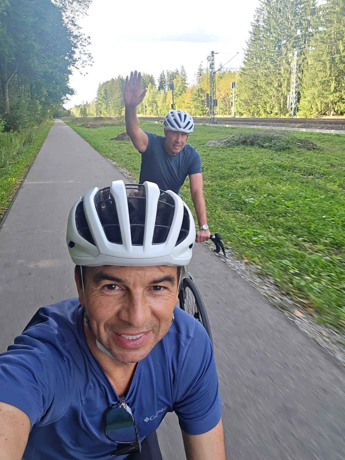
Route contributed by Marcus · Created from a ride on Saturday 19th September 2026

Download GPXMap

At a glance

Best for
Flat, steady riding
Distance
73.6 km
Point to point
Elevation gain
267 m
4 m per km
Riding time
3–4½ hours
moving time, estimated
Difficulty
Moderate
Bike
Road bike
from the mapped surface
Surface
Mostly paved
94% paved · 6% unpaved · 1% no data
Traffic
Mostly minor roads
3.1 km on main roads without a cycle lane · 1.7 km where the limit is 80 km/h or more · 14 km on cycle paths or lanes
Food & water
Regular
1054 cafés and restaurants · 145 shops · 20 water points · 7 petrol stations · 68 public toilets · 66 bike shops
Navigation
GPX download
free, no sign-in
Start → finish
Hallbergmoos → Holzkirchen

Map and elevation profile

On the road: Hallbergmoos to Holzkirchen, Hallbergmoos

Elevation profile

Total ascent
267 m
Distance
74 km
0200400600800m0 km20406074 km694 m · highest, at 71.8 kmStartFinish

What it was like to ride

Route description

  1. Hallbergmoos
  2. Erchingkm 6
  3. Garching bei Münchenkm 16
  4. Lehelkm 30
  5. Isarvorstadtkm 32
  6. Thalkirchenkm 39
  7. Deisenhofenkm 52
  8. Lochhofenkm 62
  9. Holzhamkm 68
  10. Holzkirchenkm 74

Starting in Hallbergmoos at 455 m height, the 73.6 km route heads through Erching (km 5.8) and Fischerhäuser (km 11) before reaching the outskirts of Munich near Garching bei München (km 15.5). The route continues through urban areas including Unterföhring (km 21.4), and Munich city districts such as Lehel (km 30.2), Isarvorstadt (km 31.9), Ludwigsvorstadt (km 33.8), and Sendling (km 36.3).

Cyclists pass Thalkirchen (km 39), before moving through Großhesselohe (km 43.3), Oberhaching (km 50.8), and further south past Deisenhofen (km 52.3), Sauerlach (km 59.5), and Grafing (km 61.8). The road nears its highest point at 694 m around Teufelsgraben (km 69.1) before finishing in Holzkirchen (km 71.1).

The surface is mostly paved (94%) with 6% gravel or unpaved, located mainly between km 11 and 18. The route uses a mix of paths (37%), quiet streets (15%), roads with cycle lanes (12%), tracks (12%), and minor roads (11%). Only 3.1 km are on main roads without cycle lanes, with 1.7 km on roads posted over 80 km/h. Food and drink options are available intermittently from Hallbergmoos to Holzkirchen, with a longest stretch without café, shop, or water of 10.2 km early in the ride (km 0.8 to 11). Bailout points include several train stations.

Why ride this route?

  • Tops out at 694 m, 69.3 km in.

Highlights

  • Highest point 694 m at 69.3 km
  • Passes Munich city districts
  • Schloss Erching near 5.8 km
  • Longest cafe/shop-free stretch 10.2 km from 0.8 to 11 km

Along the route

Measured from the route line, the Copernicus elevation model and OpenStreetMap.

Places passed

  1. Erching 5.8 km
  2. Fischerhäuser 11 km
  3. Garching bei München 15.5 km
  4. Dirnismaning 16.7 km
  5. Unterföhring 21.4 km
  6. Lehel 30.2 km
  7. Old Town 31.3 km
  8. Munich 31.3 km
  9. Isarvorstadt 31.9 km
  10. Ludwigsvorstadt 33.8 km
  11. Sendling 36.3 km
  12. Thalkirchen 39 km
  13. Großhesselohe 43.3 km
  14. Oberhaching 50.8 km
  15. Deisenhofen 52.3 km
  16. Sauerlach 59.5 km
  17. Grafing 61.8 km
  18. Lochhofen 62.4 km
  19. Arget 62.9 km
  20. Otterfing 66.9 km
  21. Holzham 67.9 km
  22. Teufelsgraben 69.1 km
  23. Maitz 69.7 km
  24. Holzkirchen 71.1 km

Traffic, surface and gradient

Measured from OpenStreetMap along the track and the elevation profile.

Mostly minor roads and streets on the map; 3.1 km is on main roads without a cycle lane.

Roads
37% path · 15% quiet street · 12% road with cycle lane · 12% track · 24% other roads and tracks
Main roads
3.1 km on main roads without a cycle lane — likely busier
Fast roads
1.7 km on roads with a limit of 80 km/h or more
Cycle paths
14 km on cycle paths or roads with a cycle lane
Surface
Predominantly paved: 94% is mapped as paved, 6% as unpaved or gravel.
Gradient
4% climbing · 1% descending · 95% flat

Food, water and services

Within a few hundred metres of the track, from OpenStreetMap. Opening hours change — treat this as where to look, not a promise.

No stretch is longer than 15 km without a café, shop or water. Along the route: 1054 cafés and restaurants, 145 shops, 20 water points, 7 petrol stations, 68 public toilets and 66 bike shops.
Food, water and shops in ride order

  1. 0 kmIl Girasole · restaurant · 50 m off route
  2. 17.3 kmJ.Böhm · petrol station · 90 m off route
  3. 20.7 kmAldi Süd · supermarket · on the route
  4. 26.9 kmRestaurant am Chinesischen Turm · restaurant · 50 m off route
  5. 29.5 kmToilette für alle · toilets · 70 m off route
  6. 32 kmDrinking water · 70 m off route
  7. 35 kmeni · petrol station · 220 m off route
  8. 36.4 kmDrinking water · 130 m off route
  9. 39.5 kmDrinking water · 100 m off route
  10. 43 kmSt.-Martin-Brunnen · drinking water · on the route
  11. 48 kmDrinking water · on the route
  12. 50 kmPenny · supermarket · 50 m off route
  13. 59.5 kmToilets · 140 m off route
  14. 59.6 kmBäckerei Köglsperger · bakery · 40 m off route
  15. 59.8 kmTurm-Apotheke · pharmacy · 80 m off route
  16. 67 kmDrinking water · 180 m off route
  17. 70.5 kmSeemüller Apotheke im Atrium · pharmacy · on the route
  18. 71 kmBäckerei Hohenadl · bakery · 60 m off route

Need to bail out?

  • 3.9 kmHallbergmoos (halt), 70 m off route
  • 15 kmGarching (station), 920 m off route
  • 21.9 kmFreimann (station), 710 m off route
  • 31.3 kmMarienplatz (station), 150 m off route
  • 38.9 kmThalkirchen (station), 50 m off route
  • 51.5 kmDeisenhofen (station), 150 m off route
  • 59.5 kmSauerlach (halt), 290 m off route
  • 70.6 kmHolzkirchen (station), 90 m off route

Whether bikes are carried depends on the service — check before relying on it.

Worth a stop

  • 5.8 kmSchloss Erching (castle)
  • 28.3 kmHofbrunnwerk (attraction)
  • 31.3 kmAlter Peter - Aussichtsturm (viewpoint)
  • 35.5 kmSchmied-von-Kochel-Denkmal (attraction)
  • 39.6 kmGiraffengehege (viewpoint)
  • 45.2 kmKulisse "Münchner Straße" (attraction)

Stay after this ride

  • Snooze Apartments Holzkirchen · apartment · 20 m from the finish
  • Hotel Konrad Pötzel Holzkirchen · hotel · 350 m from the finish
  • Alte Post · hotel · 440 m from the finish

Start and access

Starts at Hallbergmoos. Mapped within a short walk of the start and finish, from OpenStreetMap.

At the start

Food and coffee
Il Girasole (50 m)
Shops
Netto Marken-Discount (270 m), Penny (480 m)

At the finish

Food and coffee
Hofpfisterei (60 m), Bäckerei Hohenadl (150 m), Crema Gelato (180 m)
Shops
Abfüllerei Unverpacktladen (100 m)

Know before you go

  • Longest stretch without café, shop or water 10.2 km (km 0.8 to 11)
  • 3.1 km on main roads without cycle lane
  • 1.7 km on roads with posted limits 80 km/h or more
  • 6% gravel or unpaved surface mainly km 11 to 18

Routes are for inspiration. Roads, surfaces and conditions change — check locally and ride within your limits.

4 photographs from the road

About this route

Ridden by
Marcus
Date ridden
Route line
Built from a GPS recording of the ride.
Elevation
Recalculated from the Copernicus GLO-90 terrain model every 50 m, not the device’s barometer.
Roads, surface, services
Measured along the line from OpenStreetMap extracts.
GPX
Generated from the route line: track points only, no timestamps or personal data.
Page added
Page last updated

See something wrong with this ride?

Rides starting nearby