Road · United Kingdom
Sudbrooke – Thimbleby
A flat 69 km road cycling loop from Sudbrooke, England through Reepham, Langworth and Apley, with 73 m of climbing. There is a 35 km stretch without a café, shop or water (km 14–49).
At a glance
- Best for
- Flat, steady riding
- Distance
- 68.9 km
- Elevation gain
- 73 m
- Riding time
- 3–4 hours
- Difficulty
- Moderate
- Bike
- Road bike
- Surface
- Paved
- Traffic
- Some main roads
- Food & water
- Longest gap 35 km
- Navigation
- GPX download
- Start and finish
- Sudbrooke
Map and elevation profile
Elevation profile
- 73 m
- 69 km
Route description
- Sudbrooke
- Reepham
- Langworth
- Apley
- Kingthorpe
- Wispington
- Bucknall
- Tupholme
- Short Ferry
- Sudbrooke
This 68.9 km loop starts and ends in Sudbrooke, passing through numerous villages including Reepham at 5.8 km, Langworth at 11.9 km, and Bardney at 49.4 km. The route is very flat with only 73 m of climbing and the highest point at 31 m at 33.1 km near Wispington. The road surface is almost entirely paved (99%) with a tiny 1% gravel section.
Cyclists will spend most of the ride on minor roads (62%) and main roads (26%), notably along the B1190 for 12 km and B1202 for 5.6 km. There are 18.2 km on main roads without a cycle lane and 40.5 km of roads with posted limits of 80 km/h or more. Cycle paths and lanes make up 3.3 km in total. The route is flat with only 0.1 km over 5% gradient.
Food and drink stops are sparse between 14.4 km and 49.4 km with no café, shop, or water for 35 km. Pubs are near the route at Langworth (km 12.1), Bardney (km 49.4), and Short Ferry (km 55.1). Toilet facilities are available near 14.4 km. Notable attractions close to the route include Strawberry Fields at 11.8 km and King's Hill archaeological site at 50.6 km. The Bottle & Glass pub is at the start and finish in Sudbrooke.
Highlights
- Passing through Bardney at 49.4 km
- Highest point at 31 m near Wispington (33.1 km)
- Strawberry Fields attraction near 11.8 km
- King's Hill archaeological site near 50.6 km
Along the route
Places passed
Traffic, surface and gradient
Expect stretches on main roads without a cycle lane (18.2 km in all) between quieter sections.
- Roads
- 62% minor road · 26% main road · 3% cycle path · 2% road with cycle lane · 7% other roads and tracks
- Main roads
- 18.2 km on main roads without a cycle lane — likely busier
- Fast roads
- 40.5 km on roads with a limit of 80 km/h or more
- Cycle paths
- 3.3 km on cycle paths or roads with a cycle lane
- Main roads used
- B1190 (12 km), B1202 (6 km), Short Ferry Road (5 km), Wispington Road (4 km)
- Surface
- Paved: 99% of the route is mapped as paved, 1% as unpaved.
- Gradient
- 1% climbing · 0% descending · 99% flat
Food, water and services
The longest stretch without a café, shop or water is 35 km, from km 14 to 49. Along the route: 10 cafés and restaurants, 3 shops and 1 public toilet.
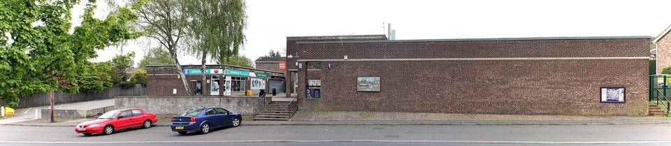
Food, water and shops in ride order
- 2.3 kmCherry Tree Cafe · café · 80 m off route
- 5.1 kmLincolnshire Co-op Pharmacy · pharmacy · 680 m off route
- 12.1 kmThe George at Langworth · pub · 50 m off route
- 14.4 kmToilets · 100 m off route
- 49.4 kmThe Old Angel · pub · on the route
- 49.6 kmLincolnshire Co-op · supermarket · 70 m off route
- 55.1 kmTyrwhitt Arms · pub · 50 m off route
- 62.1 kmFox & Hounds · pub · on the route
- 62.2 kmReepham Village Store And Post Office · convenience store · on the route
- 67.4 kmBottle & Glass · pub · 130 m off route
Worth a stop
- 11.8 km — strawberry Fields (attraction)
- 50.6 km — King's Hill (archaeological site)
- 58.7 km — Five Mile End (viewpoint)
Start and access
At the start and finish
- Food and coffee
- Bottle & Glass (200 m)
Know before you go
- No café, shop or water for 35 km from 14.4 km to 49.4 km
- 18.2 km on main roads without a cycle lane
- 40.5 km on roads with speed limits 80 km/h or more
- A short 1% gravel section