Mont Revard from Aix-les-Bains
- 19 km
- 1,233 m
- Moderate
- Paved
Elevation profile
- 1,233 m
- 19 km
Route overview
This route suits riders looking for a sustained climb of 19.1 km with significant elevation gain of 1233 m.
19.1 km climb of Mont Revard from Aix-les-Bains with 1233 m gain in France.
This route starts in Aix-les-Bains at 294 m elevation and climbs 19.1 km to Mont Revard at 1527 m, gaining 1233 m with an average gradient of 6.5% and max gradient of 9.8%. Almost all the route is climbing, with a steady incline over 16 km and some sections above 8%. The surface is almost entirely paved (98%) with only 2% gravel or unpaved. About 74% of the route is on main roads, notably 14 km on the D 913, all without cycle lanes. Minor roads and quiet streets make up the rest.
Highlights
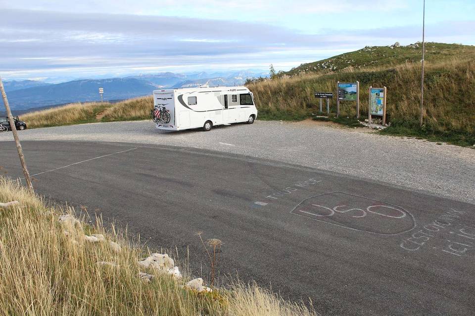
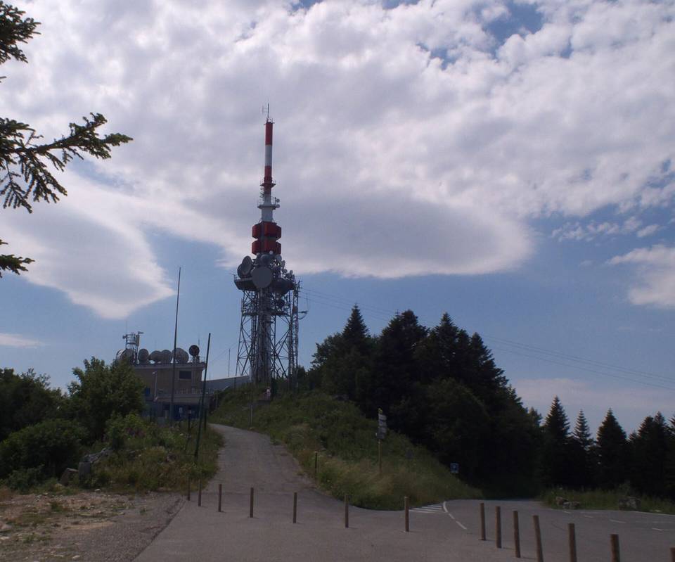
- Mont Revard summit at 1527 m
- Longest main road section: 14 km on D 913
- Belvédère viewpoints at km 0.1 and km 19.1
- Average gradient 6.5% over 19.1 km
Along the route
Climbs
| Climb | Starts at | Length | Gain | Average | Max | Top |
|---|---|---|---|---|---|---|
| Mont Revard | 0 km | 19.1 km | 1233 m | 6.5 % | 9.8 % | 1527 m |
Mont Revard · starts at 0 km
< 4%4 – 7%7 – 10%> 10%
What this ride is like
- Roads
- 74% main road · 15% minor road · 7% quiet street
- Main roads
- 14.2 km on main roads without a cycle lane — likely busier
- Main roads used
- D 913 (14 km)
- Surface
- Paved throughout
- Gradient
- 98% climbing · 1% descending · 2% flat
- Steep sections
- 16 km over 5% · 3.1 km over 8% · 0.3 km over 10%
Along the way
Food, water and shops
- 0 kmEtioca Café · café · 170 m off route
- 0 kmBiocoop · supermarket · 350 m off route
- 0 kmDrinking water · 230 m off route
- 0 kmToilets · 200 m off route
- 0 kmGrand Lac Vélodéa · bike rental · 570 m off route
- 0 kmHôpital Reine Hortense · hospital · on the route
- 5.3 kmBoulangerie la Patire · bakery · on the route
- 9.4 kmSource de la Meunaz · spring · 40 m off route
- 18.6 kmToilets · on the route
- 18.7 kmLa Tête dans les Cimes · café · 140 m off route
Need to bail out?
- 0 km — Aix-les-Bains - Le Revard (station), 640 m off route
Worth a stop
- 0.1 km — Belvédère (viewpoint)
- 19.1 km — Belvédère du Revard (viewpoint)
At the start
- Etioca Café · café · 170 m
- La Potinière (Maison Sabourdy) · café · 150 m
- Çiğköftem · fast food · 170 m
- Maison Trois · ice cream · 220 m
- Café des Bains · restaurant · 190 m
At the finish
- RestÔ Revard · restaurant · 140 m
- La Crémaillère · restaurant · 150 m
- La Tête dans les Cimes · café · 280 m
- Snack · fast food · 90 m
Stay after this ride
- Gîte La Gaillarde · guest house · 560 m from the finish
- Aire de bivouac - véhicule · campsite · 760 m from the finish
- Aire de bivouac - tente · campsite · 800 m from the finish
- Aire de bivouac · campsite · 1.3 km from the finish
Practical information
- Paved
- Point to point
- 1 h 22 min
- Apr to Oct — daily highs of 17–28 °C in those months
Know before you go
- 5.2 km stretch without café, shop or water from km 0.1 to 5.3
- 14.2 km on main roads without cycle lane
- 3.1 km with gradient over 8%
- 0.3 km max gradient 9.8%