Cyclists.com

Semnoz from Quintal

Quintal, FranceRoad

Routed from the map This classic road was traced on OpenStreetMap and measured against the terrain model; no member has recorded it yet. Ridden it? Add your recording and photos.

11 km
Distance
936 m
Elevation gain
Moderate
Difficulty
Paved
Surface

Elevation profile

Total ascent
936 m
Distance
11 km
Elevation (m)05001,0001,5002,0000 km2.5 km5 km7.5 km10 km11 kmHighest point1,681 m at 11.4 kmStart0 kmFinish11 km

Route overview

This short but steep 11.4 km climb suits riders looking for a challenging ascent with sustained gradients.

11.4 km climb from Quintal to Crêt de Châtillon, France, gaining 936 m at 8.2% average gradient.

The route starts in Quintal at 744 m elevation and climbs steadily for 11.4 km to 1680 m, reaching Crêt de Châtillon. The entire climb gains 936 m at an average gradient of 8.2%, with sections reaching up to 11.6% and 10.8 km with gradients over 5%. Most of the route is on paved roads, with 92% paved and 8% gravel or unpaved surfaces. The road mix includes 6.9 km on main roads (the D 41), 3.6 km on minor roads (including 3.2 km on D 241), and 0.8 km on paths. All main road sections lack cycle lanes. Amenities are limited along the climb: a bakery and bike rental are available near the start at Quintal, and a restaurant lies near the finish at 10.9 km, just off route. Toilets and a repair stand are accessible early and at 9.2 km. However, there is a 10.8 km stretch without cafés, shops, or water. Crêt de Châtillon peak is worth a stop at the summit, 5 m off-route.

Highlights

  • Climb starts at Quintal at 744 m
  • 936 m elevation gain over 11.4 km
  • Crêt de Châtillon peak at 1680 m
  • Longest named road: D 41 for 6.9 km

Along the route

Measured from the recorded track and OpenStreetMap.

Climbs

ClimbStarts atLengthGainAverageMaxTop
Quintal climb0 km11.4 km936 m8.2 %11.6 %1680 m

High point 1680 m at 11.4 km; low point 744 m.

Quintal climb · starts at 0 km

11.4 km at 8.2% · 936 m
8001000120014001600ELEVATION (M)10%6.5%9.0%8.9%8.6%8.3%8.2%8.9%8.1%0 km1234567891011.4 kmDISTANCE (KM)Quintal climb · 1,680 mSTEEPEST 10.2%
< 4%4 – 7%7 – 10%> 10%

What this ride is like

Measured from OpenStreetMap along the track and the elevation profile.

Roads
61% main road · 32% minor road · 7% path
Main roads
6.9 km on main roads without a cycle lane — likely busier
Main roads used
D 41 (7 km), D 241 (3 km)
Surface
Paved throughout
Gradient
99% climbing · 1% descending · 0% flat
Steep sections
10.8 km over 5% · 7.9 km over 8% · 1 km over 10%

Along the way

Within a few hundred metres of the track, from OpenStreetMap. Opening hours change — treat this as where to look, not a promise.

Food, water and shops

  1. 0 kmQuintal - La Croix Ronde · bike rental · 320 m off route
  2. 0.1 kmLa Boulangerie · bakery · 110 m off route
  3. 0.2 kmToilets · on the route
  4. 9.2 kmRepair stand · 90 m off route
  5. 10.9 kmLes Rochers Blancs · restaurant · 30 m off route

Worth a stop

  • 11.4 kmCrêt de Châtillon (peak, 1702 m)

At the start

  • La Boulangerie · bakery · 140 m
  • Quintal - La Croix Ronde · bike rental · 320 m

At the finish

  • Les Rochers Blancs · restaurant · 370 m

Stay after this ride

  • Aire de bivouac · campsite · 530 m from the finish

Practical information

Surface
Paved
Route shape
Point to point
Riding time
49 min

Know before you go

  • 10.8 km stretch without cafés, shops, or water
  • 6.9 km on main roads without cycle lanes
  • Gravel or unpaved surface for 8% of the route

Routes are for inspiration. Roads, surfaces and conditions change — check locally and ride within your limits.

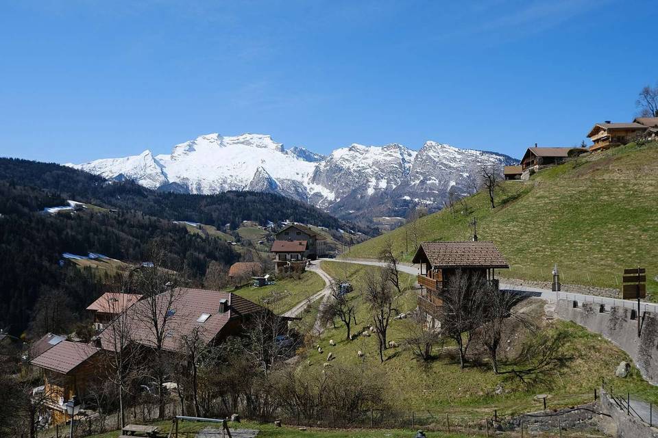
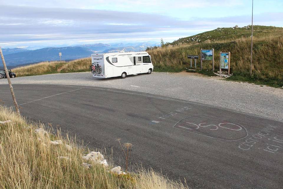
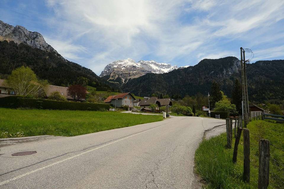
2 photographs from the road

Photo: Guilhem Vellut from Annecy, France · CC BY 2.0 · Wikimedia Commons