Road · France
Col du Grand Colombier from Culoz
A mountainous 17 km road cycling route from Culoz, with 1,241 m of climbing over Roc Passin.
At a glance
- Best for
- Short, climbing-heavy rides
- Distance
- 17.4 km
- Elevation gain
- 1,241 m
- Riding time
- 1 h 15 min
- Difficulty
- Moderate
- Bike
- Road bike
- Surface
- Paved
- Traffic
- Mostly minor roads
- Food & water
- Regular
- Best months
- Apr to Oct
- Navigation
- GPX download
- Start → finish
- Culoz
Map and elevation profile
Elevation profile
- 1,241 m
- 17 km
Route description
- Culoz
- Roc Passin
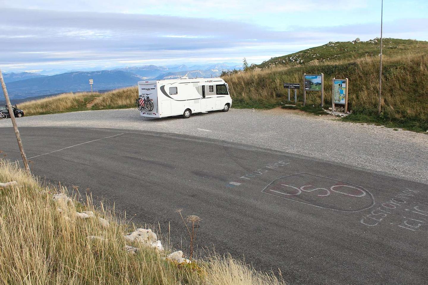
This 17.4 km route starts at Culoz at 252 m and climbs steadily to 1493 m at Col du Grand Colombier. The climb is 17.3 km long with an average gradient of 7.2%, including sections up to 14.4% and a steep 500 m section at 21.8% right from the start. The profile is predominantly uphill with 95% climbing, and most climbing occurs in the second half.
The road surface is 99% paved with a minor 1% unpaved section. The route uses 16.4 km of the named road D 120, mainly on minor roads (92%), with a brief 5% on quiet streets and 3% on roads with cycle lanes. The route is on fast roads with 15.6 km at 80 km/h or more.
Amenities are mainly concentrated near the start and finish. In Culoz, near km 0, there are bakeries, a market, bars, and restaurants. There is drinking water available at 0.1 km and toilets at the start and the top. There is a notable 12.6 km stretch from 2.6 km to 15.2 km without cafés, shops, or water. At the finish, "La Pause du Grand Colombier" fast food is available.
Why ride this route?
- Climbs Roc Passin (17.3 km at 7.2 %).
- Tops out at 1,493 m, 17.3 km in.
Highlights
- Col du Grand Colombier summit at 1493 m
- Steepest 500 m segment at 21.8% gradient
- Nearby peaks: Pierre Amion 1449 m, Pierre Fillola 1426 m
- Long climb from Culoz starting at 252 m
Along the route
Climbs
| Climb | Starts at | On this ride | Full ascent | Top on this ride |
|---|---|---|---|---|
| Roc Passin | 0 km | 17.3 km · 1241 m · 7.2 % · max 14.4 % | 17.3 km · 1241 m · 7.2 % | 1493 m |
Roc Passin · full ascent, starts at 0 km
< 4%4 – 7%7 – 10%> 10%
Traffic, surface and gradient
Mostly minor roads and streets on the map.
- Roads
- 91% minor road · 5% quiet street · 4% other roads and tracks
- Fast roads
- 15.5 km on roads with a limit of 80 km/h or more
- Main roads used
- D 120 (16 km)
- Surface
- Paved: 98% of the route is mapped as paved, 2% as unpaved.
- Gradient
- 95% climbing · 1% descending · 5% flat
- Steep sections
- 12.4 km over 5% · 7.5 km over 8% · 3.2 km over 10% · steepest 500 m averages 21.8% at 0 km
Food, water and services
No stretch is longer than 15 km without a café, shop or water. Along the route: 13 cafés and restaurants, 1 shop, 3 water points and 3 public toilets.
Food, water and shops in ride order
- 0 kmMarché de Culoz · market · 50 m off route
- 0 kmToilets · on the route
- 0.1 kmDrinking water · 150 m off route
- 0.1 kmPharmacie du Colombier · pharmacy · on the route
- 0.2 kmBoulangerie Binaud · bakery · on the route
- 17.3 kmLa Pause du Grand Colombier · fast food · on the route
- 17.3 kmToilets · on the route
Need to bail out?
- 0 km — Culoz (station), 550 m off route
Worth a stop
- 0 km — Point de Vue du Banc (viewpoint)
Start and access
At the start
- Food and coffee
- Les délices de Culoz (40 m), Boulangerie Binaud (200 m), La Casa della Pizza (40 m)
- Shops
- Marché de Culoz (70 m)
At the finish
- Food and coffee
- La Pause du Grand Colombier (70 m)
Know before you go
- 12.6 km without café, shop or water from km 2.6 to 15.2
- 15.6 km on fast roads (80 km/h or more)
- Steepest 500 m at 21.8% gradient from start