
Road · United Arab Emirates
A flat 44 km road cycling out-and-back route from Al Aqqah, Fujairah through Al Ghurfa, Al Doob and Dibba Al Hisn, with 116 m of climbing. Most of it (32.9 km) is on main roads without a cycle lane, 17.4 km where the limit is 80 km/h or more.
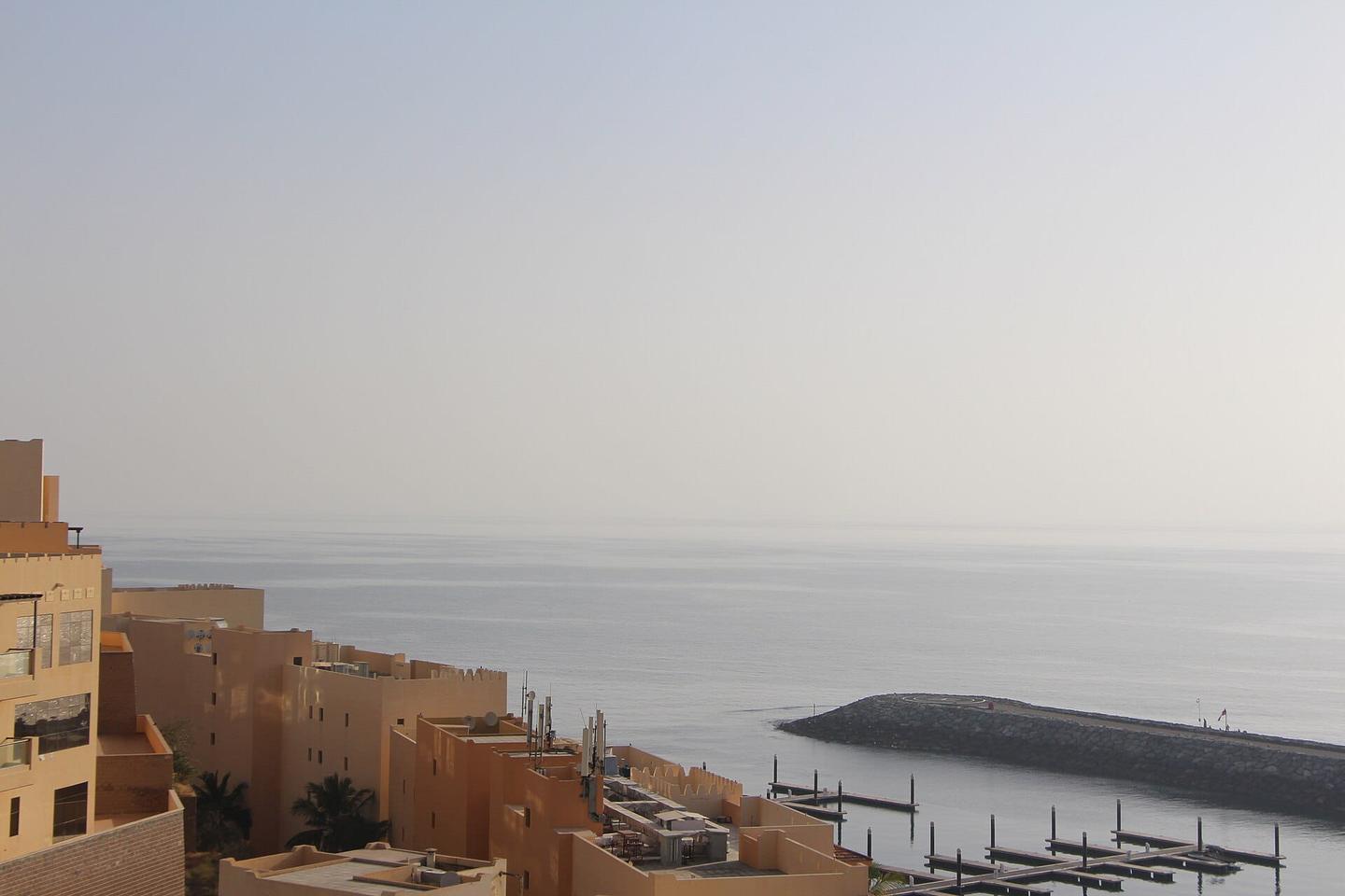
The route starts at Dibba Al-Fujairah near Al Aqqah and heads towards Dibba Al-Hisn passing through Al Ghurfa, Al Doob, and the Northern District. The highest point is 28 m at 9.8 km, with the lowest at 2 m at 21.5 km near Dibba Al-Hisn. The route is mostly flat with 6% climbing and 6% descending. The first half features nearly half the total climbing.
The surface is 98% paved with no gravel sections. Road types include 62% major roads, 15% quiet streets, 14% main roads, 7% minor roads, and 1% paths. The Dibba-Khor Fakkan Road is followed for 26.3 km. Most of the route, 33 km, is on main roads without cycle lanes, including 17 km on roads with speed limits over 80 km/h. Cafés, shops and fast food are mostly before 28 km with the longest stretch without amenities 14.6 km from 28 km to 42.6 km. Petrol stations and restaurants are available near the start and finish.
This is not a cycle-track route: 75% is on main roads without a cycle lane, 17.4 km of it where the limit is 80 km/h or more. Riders should be comfortable sharing the road with faster traffic.
No stretch is longer than 15 km without a café, shop or water. Along the route: 18 cafés and restaurants, 5 shops, 5 petrol stations and 3 public toilets.