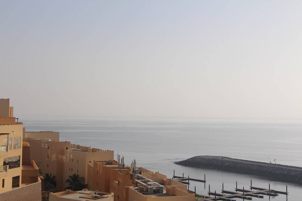
Road · United Arab Emirates
Wadi Shees Climb from Dibba
A mountainous 59 km road cycling loop from Mayya, Fujairah through Al Harr, Tawiyean and Riyamah, with 1,699 m of climbing over Jabal As Sowdah. There is a 48 km stretch without a café, shop or water (km 9–57).
At a glance
- Best for
- Short, climbing-heavy rides for fit, experienced riders
- Distance
- 59.3 km
- Elevation gain
- 1,699 m
- Riding time
- 3½–4½ hours
- Difficulty
- Hard
- Bike
- Road bike
- Surface
- Paved
- Traffic
- Mostly minor roads
- Food & water
- Longest gap 48 km
- Best months
- Nov to Mar
- Navigation
- GPX download
- Start and finish
- Mayya
Map and elevation profile
Elevation profile
- 1,699 m
- 59 km
Route description
- Mayya
- Al Harr
- Tawiyean
- Riyamah
- Ar Riwedah
- Jabal As Sowdah
- Deira Al-Tamba
- Wab Saqar
- Dardur
- Mayya
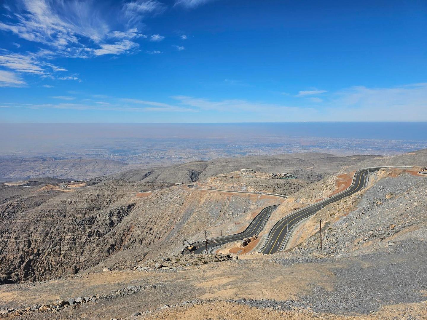
This 59.3 km loop starts in Dibba and passes through several places including Mayya at 1.2 km, Al Harr at 3.9 km, and Tawiyean at 8.2 km. The route begins with a 1.2 km climb averaging 6.6% gradient, gaining 78 m to 516 m elevation. It proceeds through multiple smaller climbs and the longest of 8.3 km beginning at 36.4 km climbs 1034 m at an average gradient of 12.5%, reaching the highest point at 1468 m near 44.6 km.
The road surface is 97% paved with minor roads for 84% of the distance and some main roads including 6.1 km without a cycle lane. The route features 33% climbing with significant sections over 5%, 8%, and 10% gradient. There is a long descent of 8.6 km dropping 1027 m beginning at 46.3 km. Facilities are sparse with a petrol station near 9 km but no cafés, shops, or water for 47.7 km from 9 km to 56.7 km. Notable points near the route include archaeological Site 8 - 2 beehive tombs and peaks such as Jabal As Sowdah and Jabal Yibir / Jabal Al-Mebrah.
Why ride this route?
- Climbs Jabal As Sowdah (5.2 km at 6.7 %).
- Tops out at 1,468 m, 44.6 km in.
- An 8.6 km descent dropping 1,027 m.
Highlights
- Climb to 1468 m peak at 44.6 km
- Longest descent of 8.6 km dropping 1027 m
- Archaeological site at 19.8 km
- Passes near Jabal Yibir (1527 m) at 44.2 km
Along the route
Places passed
Climbs
| Climb | Starts at | On this ride | Full ascent | Top on this ride |
|---|---|---|---|---|
| Unnamed climb | 0 km | 1.2 km · 78 m · 6.6 % · max 8.2 % | — | 516 m |
| Unnamed climb | 16.7 km | 1.9 km · 57 m · 2.9 % · max 4.9 % | — | 292 m |
| Jabal As Sowdah | 29.8 km | 5.2 km · 346 m · 6.7 % · max 12.5 % | 5.2 km · 344 m · 6.7 % | 517 m |
| Unnamed climb | 36.4 km | 8.3 km · 1034 m · 12.5 % · max 18.9 % | — | 1468 m |
| Unnamed climb | 52.4 km | 1.5 km · 75 m · 5 % · max 7.4 % | — | 507 m |
Jabal As Sowdah · full ascent, starts at 29.8 km
< 4%4 – 7%7 – 10%> 10%
Traffic, surface and gradient
Mostly minor roads and streets on the map; 6.1 km is on main roads without a cycle lane.
- Roads
- 84% minor road · 11% main road · 3% quiet street · 2% track
- Main roads
- 6.1 km on main roads without a cycle lane — likely busier
- Fast roads
- 5.8 km on roads with a limit of 80 km/h or more
- Main roads used
- Al Shohadaa Road (6 km)
- Surface
- Paved: 97% of the route is mapped as paved, 2% as unpaved.
- Gradient
- 33% climbing · 35% descending · 32% flat
- Steep sections
- 13.9 km over 5% · 9.9 km over 8% · 8.1 km over 10%
- Longest descent
- 8.6 km from 46.3 km, dropping 1027 m
Food, water and services
The longest stretch without a café, shop or water is 48 km, from km 9 to 57. Along the route: 1 petrol station.
Food, water and shops in ride order
- 9 kmADNOC · petrol station · 80 m off route
Worth a stop
- 19.8 km — Site 8 - 2 beehive tombs (archaeological site)
- 34.3 km — Jabal As Sowdah (peak, 635 m)
- 44.2 km — Jabal Yibir / Jabal Al-Mebrah (peak, 1527 m)
Know before you go
- No café, shop or water for 47.7 km between 9 km and 56.7 km
- 6.1 km on main roads without a cycle lane
- 5.8 km on roads with speed limits of 80 km/h or more
- 9.9 km of gradients over 8% including 8.1 km over 10%