
Cyclists.com

Dibba Al-Fujairah to Dibba Al-Hisn

Dibba, Fujairah, United Arab EmiratesRoad

Route contributed by Stefan · Ridden on Sunday 20th March 2022

44 km
Distance
116 m
Elevation gain
Easy
Difficulty
Paved
Surface
Download GPXMap

Elevation profile

Total ascent
116 m
Distance
44 km
02040m0 km10203044 km28 m · highest, at 9.9 kmStartFinish · back at the start

Route overview

Suitable for riders comfortable with moderate distance and low climbing on major and fast roads without cycle lanes.

A 44 km out-and-back ride from Dibba Al-Fujairah beneath Jabal Dadna and Aqabat al Hadid in the Hajar Mountains, UAE.

The route starts at Dibba Al-Fujairah near Al Aqqah and heads towards Dibba Al-Hisn passing through Al Ghurfa, Al Doob, and the Northern District. The highest point is 28 m at 9.8 km, with the lowest at 2 m at 21.5 km near Dibba Al-Hisn. The route is mostly flat with 6% climbing and 6% descending. The first half features nearly half the total climbing. The surface is 98% paved with no gravel sections. Road types include 62% major roads, 15% quiet streets, 14% main roads, 7% minor roads, and 1% paths. The Dibba-Khor Fakkan Road is followed for 26.3 km. Most of the route, 33 km, is on main roads without cycle lanes, including 17 km on roads with speed limits over 80 km/h. Cafés, shops and fast food are mostly before 28 km with the longest stretch without amenities 14.6 km from 28 km to 42.6 km. Petrol stations and restaurants are available near the start and finish.

Highlights

  • Jabal Dadna at 1.8 km, 102 m high
  • Aqabat al Hadid at 29.7 km, 171 m high
  • Dibba-Khor Fakkan Road for 26.3 km
  • Out-and-back route 43.6 km long

Along the route

Measured from the recorded track and OpenStreetMap.

Places passed

  1. Al Ghurfa 14.9 km
  2. Al Doob 20 km
  3. Northern District 22.2 km
  4. Dibba Al Hisn 22.2 km
  5. Al Seeh 23 km
  6. Al Mohalab 23.1 km
  7. Al Murabah 23.7 km
  8. Sambraid 24.7 km
  9. Dibba Al Fujairah 24.9 km
  10. Akamiya 27 km
  11. Al Ras 28.4 km
  12. Rol Diba 29.3 km
  13. Al Fiqait 32 km
  14. Rul Dadna 37.2 km

What this ride is like

Measured from OpenStreetMap along the track and the elevation profile.

Roads
62% major road · 15% quiet street · 14% main road · 7% minor road
Main roads
32.9 km on main roads without a cycle lane — likely busier
Fast roads
17.4 km on roads with a limit of 80 km/h or more
Main roads used
Dibba-Khor Fakkan Road (26 km), Al Corniche Street (6 km)
Surface
Paved throughout
Gradient
6% climbing · 6% descending · 88% flat

Along the way

Within a few hundred metres of the track, from OpenStreetMap. Opening hours change — treat this as where to look, not a promise.

Food, water and shops

  1. 0 kmToilets · 110 m off route
  2. 0.4 kmestacoza seafood · restaurant · 60 m off route
  3. 3 kmADNOC · petrol station · 40 m off route
  4. 10.5 kmCafé · 40 m off route
  5. 15.1 kmChicken Hut · fast food · on the route
  6. 15.1 kmZOOM · convenience store · 80 m off route
  7. 15.1 kmENOC · petrol station · 80 m off route
  8. 23 kmSharjah Coop · supermarket · 240 m off route
  9. 28 kmKFC · fast food · on the route
  10. 28 kmFreshplus · convenience store · on the route
  11. 28 kmEmarat · petrol station · on the route
  12. 42.6 kmSubway · fast food · 40 m off route
  13. 42.6 kmADNOC · petrol station · on the route

At the start and finish

  • Sapore · restaurant · 110 m
  • estacoza seafood · restaurant · 330 m
  • Subway · fast food · 400 m

Practical information

Surface
Paved
Route shape
Out & back
Riding time
1½–2½ hours riding
Season
March with temperatures around 28°C.
Best months
Nov to Mar — daily highs of 22–28 °C in those months

Know before you go

  • 33 km on main roads without cycle lanes
  • 17.4 km on roads with speed limits 80 km/h or more
  • Longest stretch without café, shop or water 14.6 km from km 28 to 42.6

Routes are for inspiration. Roads, surfaces and conditions change — check locally and ride within your limits.

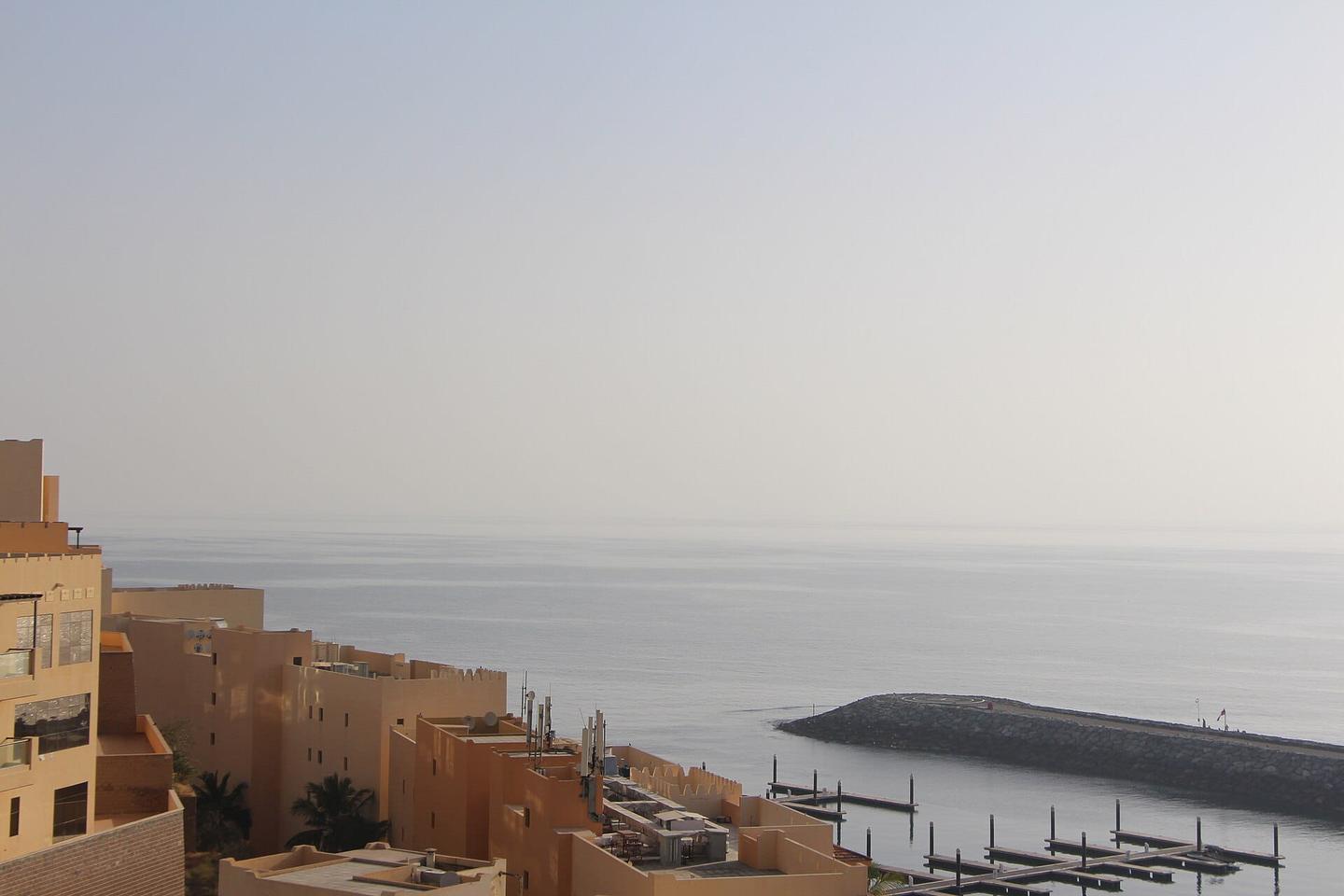
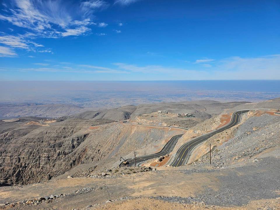
3 photographs from the road

Photo: Amalfm · CC BY-SA 4.0 · Wikimedia Commons

More rides from Dibba