
Cyclists.com

Alcudia to Port de Pollença via Mirador del Puat

Alcudia, Mallorca, SpainRoad

Route contributed by Stefan · Last ridden Saturday 31st May 2025

49 km
Distance
710 m
Elevation gain
Moderate
Difficulty
Paved
Surface
Download GPXMap

Elevation profile

Total ascent
710 m
Distance
49 km
050100150200250m0 km1020304049 km219 m · highest, at 27.4 kmStartFinish · back at the start

Route overview

Suitable for riders capable of handling 48.7 km distance with 811 m climbing.

48.7 km out-and-back route from Alcudia to Port de Pollença, Mallorca, with 811 m climbing.

The ride starts in Alcudia and heads northwest towards Port de Pollença, passing a 3.5 km climb from 6.7 km with 192 m gain at 5.5% average gradient. Smaller climbs follow, including a 3.2 km ascent from 17 km averaging 4% with a maximum of 12.8%. The highest point is at 26 km, 219 m elevation, reached after several climbs. The return retraces these roads. The route is mostly on minor roads (33.2 km on Ma-2210) with 5.4 km on cycle paths and 4.1 km on paths. The road surface is 92% paved with some gravel/unpaved on 4%. Main roads without cycle lanes total 1 km. Climbing and descending each make up 29% of the distance. The longest descent is 3.5 km dropping 189 m from 38.2 km. Along the way, there is a 17 km stretch without café, shop, or water between 6.2 and 23.2 km. Food and drink options are at Alcudia start, Formentor around 23 km, and Port de Pollença near 41 km. Shops and bike services are available at several points including Alcudia and near the end of the route. Toilets are found at 4.8, 23.2, 33.4, and 43.5 km. A ferry bailout point is near 33.4 km.

Highlights

  • Climb of 3.5 km at 5.5% gradient from 6.7 km
  • Port de Pollença at 41.8 km
  • Longest descent of 3.5 km dropping 189 m from 38.2 km
  • Viewpoints near 20.7 km and 27.3 km

Along the route

Measured from the recorded track and OpenStreetMap.

Places passed

  1. Port de Pollença 41.8 km

Climbs

ClimbStarts atLengthGainAverageMaxTop
Alcudia climb6.7 km3.5 km192 m5.5 %7.7 %201 m
13.3 km2 km52 m2.6 %3.9 %67 m
Alcudia climb17 km3.2 km129 m4 %12.8 %219 m
23.2 km1 km57 m5.7 %9.4 %192 m
Alcudia climb33.1 km3.4 km188 m5.6 %9.1 %201 m

High point 219 m at 26 km; low point 0 m.

Alcudia climb · starts at 6.7 km

3.4 km at 5.6% · 190 m
50100150200m6.9%6.3%0 km123.3 km202 msteepest 6.9%
< 4%4 – 7%7 – 10%> 10%

Alcudia climb · starts at 17 km

3.3 km at 4% · 132 m
100150200m2.3%3.0%0 km123.3 km218 msteepest 7.0%

Alcudia climb · starts at 33.1 km

3.4 km at 5.6% · 188 m
50100150200m6.6%5.5%2.8%0 km1233.4 km200 msteepest 6.6%

What this ride is like

Measured from OpenStreetMap along the track and the elevation profile.

Roads
71% minor road · 12% cycle path · 9% path · 3% quiet street
Main roads
1 km on main roads without a cycle lane — likely busier
Cycle paths
6.7 km on cycle paths or roads with a cycle lane
Main roads used
Ma-2210 (33 km)
Surface
Paved throughout
Gradient
29% climbing · 29% descending · 42% flat
Steep sections
6.5 km over 5% · 0.9 km over 8% · 0.5 km over 10% · steepest 500 m averages 11.1% at 18 km
Longest descent
3.5 km from 38.2 km, dropping 189 m

Along the way

Within a few hundred metres of the track, from OpenStreetMap. Opening hours change — treat this as where to look, not a promise.

Longest stretch without a café, shop or water: 17 km, from 6 km to 23 km.
Food, water and shops

  1. 0 kmBar Tritón · bar · 120 m off route
  2. 3.9 kmPharmacy · 30 m off route
  3. 4.5 kmSpar · supermarket · on the route
  4. 4.7 kmDixto. Healthy Fastfood Restaurant - Cafe · café · 60 m off route
  5. 4.8 kmToilets · on the route
  6. 4.9 kmWattstyle · bike shop · 60 m off route
  7. 23.2 kmFar de Formentor · café · on the route
  8. 23.2 kmToilets · 40 m off route
  9. 33.4 kmFormentor · bar · 50 m off route
  10. 33.4 kmToilets · 50 m off route
  11. 36.7 kmKiosk · on the route
  12. 41.2 kmHolibikes Tours & Coffee · café · 30 m off route
  13. 41.8 kmSpar · supermarket · on the route
  14. 41.9 kmBike island · bike shop · on the route
  15. 42.2 kmPharmacy · 190 m off route
  16. 43.5 kmToilets · on the route
  17. 45.2 kmCan Cuarassa · restaurant · 40 m off route

Need to bail out?

  • 33.4 kmFerry, 110 m off route

Whether bikes are carried depends on the service — check before relying on it.

Worth a stop

  • 20.7 kmmirador del Puat (viewpoint)
  • 27.3 kmmirador del Racó d’en Tomàs (viewpoint)

At the start and finish

  • Hürzeler · bike shop · 170 m
  • Bar Tritón · bar · 120 m
  • Restaurant Àncora · restaurant · 140 m
  • Bocchoris Lounge & Chill Out Bar · bar · 310 m
  • Restaurant Denario · restaurant · 360 m

Practical information

Surface
Paved
Route shape
Out & back
Riding time
2½–3½ hours riding
Season
May
Best months
Apr to Jun — daily highs of 18–26 °C in those months

Know before you go

  • 17 km without café, shop or water from 6.2 to 23.2 km
  • 1 km on main roads without cycle lane

Routes are for inspiration. Roads, surfaces and conditions change — check locally and ride within your limits.

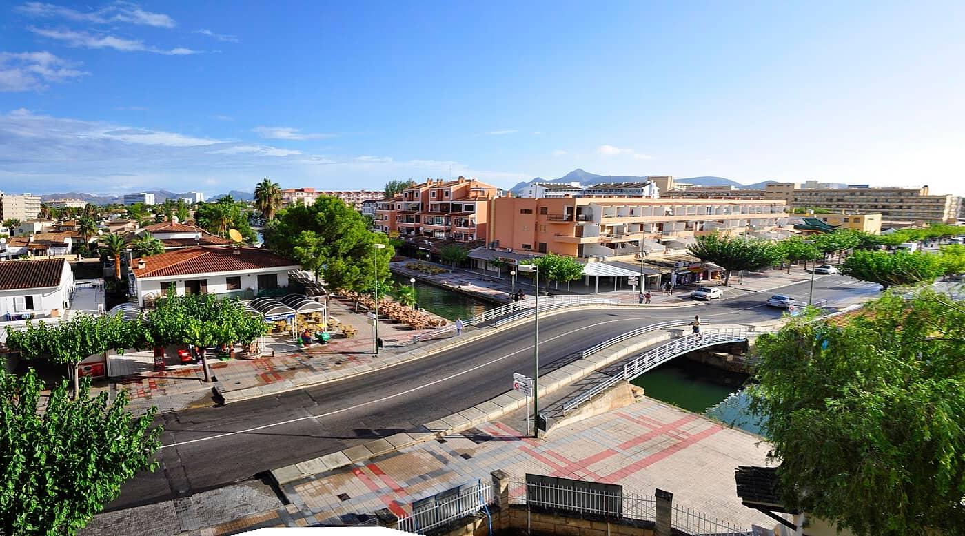
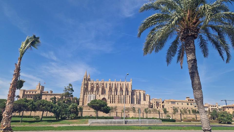
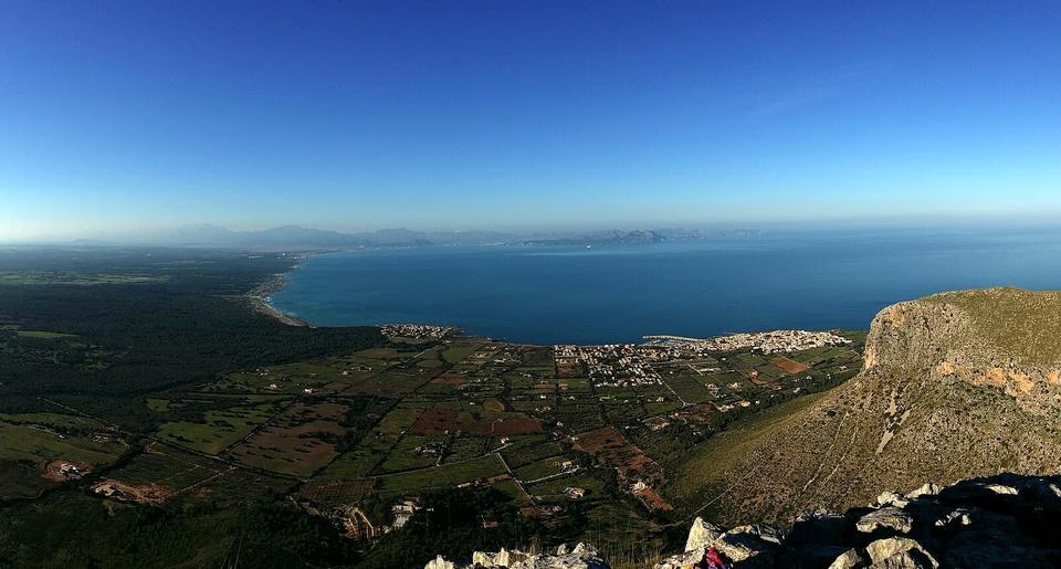
12 photographs from the road

Photo: Defisch · CC BY-SA 3.0 · Wikimedia Commons

More rides from Alcudia