
Cyclists.com

Broseley – Harley

32 km road cycling loop254 m climbing1–1½ hoursGPX

Broseley, England, United Kingdom · Road

A rolling 32 km road cycling loop from Broseley, England through Benthall, Much Wenlock and Sheinton, with 254 m of climbing.

Route contributed by Richard Chapman · Created from a ride on Sunday 6th July 2025

Download GPXMap

At a glance

Best for
Rolling day rides
Distance
31.9 km
Loop
Elevation gain
254 m
8 m per km
Riding time
1–1½ hours
moving time, estimated
Difficulty
Easy
Bike
Road bike
from the mapped surface
Surface
Mostly paved
92% paved · 5% unpaved · 3% no data
Traffic
Some main roads
14.8 km on main roads without a cycle lane · 10.1 km where the limit is 80 km/h or more · 1.2 km on cycle paths or lanes
Food & water
Regular
53 cafés and restaurants · 7 shops · 1 petrol station · 6 public toilets · 1 bike shop
Navigation
GPX download
free, no sign-in
Start and finish
Broseley

Map and elevation profile

Elevation profile

Total ascent
254 m
Distance
32 km
050100150200250m0 km102032 km213 m · highest, at 3.8 kmStartFinish · back at the start

Route description

  1. Broseley
  2. Benthallkm 1
  3. Much Wenlockkm 7
  4. Sheintonkm 12
  5. Cressagekm 14
  6. Buildwaskm 21
  7. Ironbridgekm 25
  8. The Lloydskm 27
  9. The Tuckieskm 28
  10. Broseleykm 32

Starting in Broseley, the route heads out through Benthall and Much Wenlock, continuing via Homer, Sheinton, and Cressage. The ride reaches its lowest point at 42 m near 15 km. It uses a mix of road types: 47% on main roads, 33% on minor roads, 12% on quiet streets, with some cycle path and track sections. Main roads without cycle lanes total 14.8 km, of which 10.1 km have speed limits above 80 km/h.

After Cressage, the route continues past Leighton, Buildwas, and Ironbridge before reaching Jackfield and nearby Coalport. A notable 2.4 km climb begins at 28.9 km, gaining 109 m at an average gradient of 4.5%, with a maximum of 8.1%, topping out at 156 m. The highest overall point is at 212 m near 3.7 km. The road surface is mostly paved (92%), with 5% gravel or unpaved.

Refuelling and stops are available in Broseley and several points along the route including Much Wenlock and Leighton, with a longest stretch without café, shop, or water between 7.3 and 18.1 km (10.8 km). Toilets and shops are scattered along the way, including a bike shop near Jackfield at 27.6 km. The ride is recorded in July with temperatures around 16°C.

Highlights

  • Climb of 2.4 km gaining 109 m
  • Tops out at 212 m near 3.7 km
  • Passes through Much Wenlock at 7.1 km
  • Jackfield Landslip attraction near 28.2 km

Along the route

Measured from the route line, the Copernicus elevation model and OpenStreetMap.

Places passed

  1. Much Wenlock 7.1 km
  2. Homer 9.5 km
  3. Sheinton 12.4 km
  4. Cressage 14.3 km
  5. Leighton 18.3 km
  6. Buildwas 21 km
  7. Ironbridge 25.4 km
  8. Jackfield 26.5 km
  9. The Lloyds 26.7 km
  10. The Tuckies 27.5 km
  11. Coalport 27.6 km

Climbs

Climbs in ride order: where each starts, what this ride climbs, and the full named ascent
ClimbStarts atOn this rideTop on this ride
Unnamed climb28.9 km2.4 km · 109 m · 4.5 % · max 8.1 %156 m

High point 212 m at 3.7 km; low point 42 m.

Traffic, surface and gradient

Measured from OpenStreetMap along the track and the elevation profile.

Expect stretches on main roads without a cycle lane (14.8 km in all) between quieter sections.

Roads
47% main road · 33% minor road · 12% quiet street · 5% path · 4% other roads and tracks
Main roads
14.8 km on main roads without a cycle lane — likely busier
Fast roads
10.1 km on roads with a limit of 80 km/h or more
Cycle paths
1.2 km on cycle paths or roads with a cycle lane
Main roads used
Buildwas Road (8 km), Benthall Lane (4 km)
Surface
Predominantly paved: 92% is mapped as paved, 5% as unpaved or gravel and 3% has no surface data.
Gradient
23% climbing · 20% descending · 56% flat
Steep sections
1.4 km over 5% · 0.4 km over 8% · steepest 500 m averages 11.3% at 0 km

Food, water and services

Within a few hundred metres of the track, from OpenStreetMap. Opening hours change — treat this as where to look, not a promise.

No stretch is longer than 15 km without a café, shop or water. Along the route: 53 cafés and restaurants, 7 shops, 1 petrol station, 6 public toilets and 1 bike shop.
Food, water and shops in ride order

  1. 0.4 kmCatherines · bakery · 100 m off route
  2. 0.4 kmSpar · supermarket · 90 m off route
  3. 0.4 kmToilets · 160 m off route
  4. 7 kmShell · petrol station · 270 m off route
  5. 7.1 kmTea on the Square · café · on the route
  6. 7.1 kmSpar · convenience store · on the route
  7. 7.1 kmWhenlock Pharmacy · pharmacy · 120 m off route
  8. 7.3 kmToilets · 70 m off route
  9. 18.1 kmThe Mill at Leighton · pub · 30 m off route
  10. 23.8 kmThe Water Rat Inn · pub · on the route
  11. 24.4 kmCo-op Food · supermarket · on the route
  12. 24.5 kmToilets · 70 m off route
  13. 25.1 kmIronbridge Pharmacy & Post Office · pharmacy · 60 m off route
  14. 27.6 kmBicycles By Design · bike shop · 250 m off route
  15. 27.9 kmCourtyard Tea Room · café · on the route
  16. 31.2 kmToilets · 40 m off route

Worth a stop

  • 8.2 kmOld Windmill (viewpoint)
  • 24.5 kmThe Rotunda (viewpoint)
  • 28.2 kmJackfield Landslip (1952) (attraction)

Start and access

Starts and finishes at Broseley. Mapped within a short walk of the start, from OpenStreetMap.

At the start and finish

Food and coffee
The Ironmaster (340 m), Catherines (470 m), Broseley House (420 m)
Shops
Spar (460 m), Select & Save (390 m), Downes Of Brosleey (420 m)

Know before you go

  • Longest stretch without café, shop, or water is 10.8 km from 7.3 to 18.1 km
  • 14.8 km on main roads without a cycle lane
  • 10.1 km on roads with speed limits of 80 km/h or more
  • 5% of route on gravel or unpaved surfaces

Routes are for inspiration. Roads, surfaces and conditions change — check locally and ride within your limits.

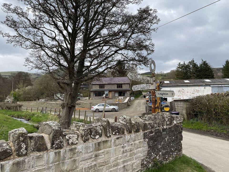
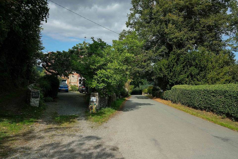
4 photographs from the road

About this route

Date ridden
Route line
Built from a GPS recording of the ride.
Elevation
Recalculated from the Copernicus GLO-90 terrain model every 50 m, not the device’s barometer.
Roads, surface, services
Measured along the line from OpenStreetMap extracts.
GPX
Generated from the route line: track points only, no timestamps or personal data.
Page added
Page last updated

See something wrong with this ride?

Rides starting nearby