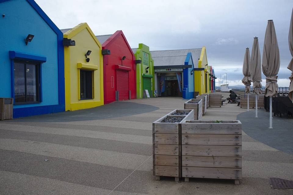
Conwy Valley Cycle Route
- 70 km
- 1,005 m
- Hard
- Paved
Elevation profile
- 1,005 m
- 70 km
Route overview
Suitable for experienced cyclists prepared for moderate climbing over 70 km.
70 km loop cycle route around Conwy Valley, Wales, with 1005 m climbing and varied roads.
Starting from Conwy, the route heads south through Llwydfaen and Tal-y-Cafn with initial climbs of 50 m at 5% and 42 m at 3.7%. After Tal-y-Cafn, riders face a longer climb of 172 m at 7.5% over 2.3 km before descending into Maenan and Llanddoged. The route continues to Llanrwst and then climbs for 5.7 km gaining 281 m at 4.9% average gradient to reach 292 m altitude near km 36.2. Past the high point, there is a 4.7 km descent dropping 280 m to Nebo at 25.2 km. Further climbs include an 8.6% gradient section for 2.2 km near Penmachno starting from km 34, reaching 343 m elevation, the highest point on the route. The return leg passes Betws-y-Coed, Trefriw, Dolgarrog, and Tal-y-Bont, including a modest climb of 42 m at 3.1% near the end. Roads are mostly minor (59%) and main roads (35%) with about 25 km on main roads lacking cycle lanes and 4.5 km on fast roads with limits of 80 km/h or more. The surface is primarily paved (98%) with minimal gravel or track sections. There is a longest stretch without café, shop or water between km 6.2 and 17.9 (11.7 km). Various food and drink options are located mostly near towns, with pubs, cafés and shops at Tal-y-Cafn, Llanrwst, Betws-y-Coed and Tal-y-Bont.
Highlights
- Climb to 343 m near Penmachno at km 36
- Longest descent of 4.7 km dropping 280 m
- Passes through Betws-y-Coed and Llanrwst
- Peaks near route include Moel Trefriw and Pen-Or
Along the route
Places passed
Climbs
| Climb | Starts at | Length | Gain | Average | Max | Top |
|---|---|---|---|---|---|---|
| — | 0 km | 1 km | 50 m | 5 % | 6.7 % | 65 m |
| — | 3 km | 1.2 km | 42 m | 3.7 % | 5.2 % | 78 m |
| — | 5.8 km | 2.3 km | 172 m | 7.5 % | 14.8 % | 185 m |
| — | 18.3 km | 5.7 km | 281 m | 4.9 % | 7.6 % | 292 m |
| — | 34 km | 2.2 km | 192 m | 8.6 % | 14.1 % | 343 m |
| — | 58.2 km | 1.4 km | 42 m | 3.1 % | 4.6 % | 64 m |
What this ride is like
- Roads
- 59% minor road · 35% main road · 2% quiet street · 2% major road
- Main roads
- 25.1 km on main roads without a cycle lane — likely busier
- Fast roads
- 4.5 km on roads with a limit of 80 km/h or more
- Main roads used
- B5106 (13 km), B5427 (5 km)
- Surface
- Paved throughout
- Gradient
- 26% climbing · 30% descending · 45% flat
- Steep sections
- 6.7 km over 5% · 2.7 km over 8% · 1.8 km over 10% · steepest 500 m averages 13% at 35.7 km
- Longest descent
- 4.7 km from 37.2 km, dropping 280 m
Along the way
Food, water and shops
- 0 kmWoosey's Catch of Conwy · fast food · 40 m off route
- 0 kmThe Village Shop · convenience store · on the route
- 4.6 kmSpring · 120 m off route
- 17.9 kmGriffiths Bakery · bakery · on the route
- 18 kmSpar · supermarket · 80 m off route
- 18 kmBike rental · 210 m off route
- 18.2 kmToilets · 180 m off route
- 28.8 kmA5 Bacon Bar · café · 180 m off route
- 34.2 kmEagles · pub · on the route
- 34.2 kmToilets · on the route
- 43.7 kmShell · petrol station · 180 m off route
- 44.4 kmBwyd i Fynd · café · 60 m off route
- 44.4 kmDrinking water · 60 m off route
- 44.4 kmToilets · 60 m off route
- 44.4 kmBeics Betws Bike Hire · bike rental · 70 m off route
- 52.2 kmToilets · 30 m off route
- 58.2 kmTal Y Bont Stores · convenience store · on the route
- 59.4 kmYe Olde Bull Inn · pub · on the route
Need to bail out?
- 6.1 km — Tal-y-Cafn (station), 40 m off route
- 17.8 km — Llanrwst (station), 60 m off route
- 44.4 km — Betws-y-Coed (station), 150 m off route
- 55.6 km — Dolgarrog (station), 1.0 km off route
- 68.5 km — Conwy (station), 560 m off route
Worth a stop
- 5.8 km — Bryn Castell (archaeological site)
- 9.9 km — Pen-Or (peak, 234 m)
- 49.5 km — Gwydir Castle (castle)
- 57.1 km — Surf Snowdonia (attraction)
- 63.3 km — Conwy Water Gardens (attraction)
At the start and finish
- The Village Shop · convenience store · 20 m
- Woosey's Catch of Conwy · fast food · 40 m
- Conwy · station · 630 m
Practical information
- Paved
- Loop
- 5 h 00 min
- Jun to Sep — daily highs of 17–19 °C in those months
Know before you go
- 11.7 km without café, shop or water from km 6.2 to 17.9
- 25.1 km on main roads without cycle lanes
- 4.5 km on roads with 80 km/h or higher speed limit