Cyclists.com

National Cycle Route 84

Kinmel Bay, Conwy, United KingdomMixed

Signed route The waymarked National Cycle Route 84 (National Cycle Network), traced from OpenStreetMap and measured against the terrain model; no member has recorded it yet. Ridden it? Add your recording and photos.

10 km
Distance
14 m
Elevation gain
Easy
Difficulty
Mixed
Surface
Download GPXMap

Elevation profile

Total ascent
14 m
Distance
10 km
020m0 km2.557.510 km16 m · highest, at 9.4 kmStartFinish

Route overview

Suitable for riders looking for a short, flat route of 10 km with minimal elevation gain.

National Cycle Route 84 is a 10 km point-to-point cycle path from Kinmel Bay to St Asaph in Conwy, UK.

National Cycle Route 84 starts at Kinmel Bay and ends at St Asaph, passing through Rhyl and Rhuddlan. The route is mostly flat, with an elevation gain of 14 m and a high point of 16 m at 9.3 km. The low point is 2 m at 3.3 km. It follows a mix of cycle paths (82%), quiet streets (8%), and minor roads (7%). The surface is 98% paved, with a small 1% gravel or unpaved section and 1% unmapped. The route displays predominantly flat terrain, with 99% of the route flat and only 1% descending. There are no climbs or steep gradients above 5%.

Highlights

  • Kinmel Bay start
  • Rhyl and Rhuddlan towns
  • St Asaph finish
  • Mostly paved cycle path

Along the route

Measured from the recorded track and OpenStreetMap.

Places passed

  1. Rhuddlan 5.4 km

What this ride is like

Measured from OpenStreetMap along the track and the elevation profile.

Roads
82% cycle path · 8% quiet street · 7% minor road
Cycle paths
8.2 km on cycle paths or roads with a cycle lane
Surface
Paved throughout
Gradient
0% climbing · 1% descending · 99% flat

Along the way

Within a few hundred metres of the track, from OpenStreetMap. Opening hours change — treat this as where to look, not a promise.

Food, water and shops

  1. 0 kmThe Bike Hub · bike rental · 120 m off route
  2. 0.3 kmAldi · supermarket · 90 m off route
  3. 0.5 kmToilets · on the route
  4. 0.6 kmLakeside Cafe · café · 110 m off route
  5. 1.3 kmAllied Pharmacy · pharmacy · 360 m off route
  6. 5.4 kmToilets · 300 m off route
  7. 5.6 kmStarbucks · café · 40 m off route
  8. 9 kmSeaways Service Station · petrol station · 180 m off route
  9. 9.9 kmRowlands Pharmacy · pharmacy · 100 m off route
  10. 10 kmThe Welsh Maid · café · 150 m off route
  11. 10 kmSt Asaph Co-op · supermarket · 90 m off route
  12. 10 kmToilets · 70 m off route

Need to bail out?

  • 0.5 kmCentral Station (station), on the route

Whether bikes are carried depends on the service — check before relying on it.

Worth a stop

  • 0.1 kmShipwreck - "City of Ottawa" (archaeological site)

At the start

  • The Harbour Hub Cafe · café · 120 m
  • Central Station · station · 290 m
  • Aldi · supermarket · 90 m
  • Lakeside Cafe · café · 400 m
  • The Bike Hub · bike rental · 130 m

At the finish

  • St Asaph Co-op · supermarket · 90 m
  • The Welsh Maid · café · 150 m
  • Rowlands Pharmacy · pharmacy · 140 m
  • Kentigern Arms · pub · 180 m
  • The Barrow · pub · 190 m

Stay after this ride

  • The Talardy Hotel · hotel · 740 m from the finish
  • Oriel House Hotel · hotel · 1.3 km from the finish
  • Premier Inn · hotel · 3.9 km from the finish
  • White House · hotel · 3.5 km from the finish

Practical information

Surface
Mixed
Route shape
Point to point
Riding time
43 min
Best months
Jun to Sep — daily highs of 17–19 °C in those months

Know before you go

  • 4 km without café, shop or water from 1 to 5 km

Routes are for inspiration. Roads, surfaces and conditions change — check locally and ride within your limits.

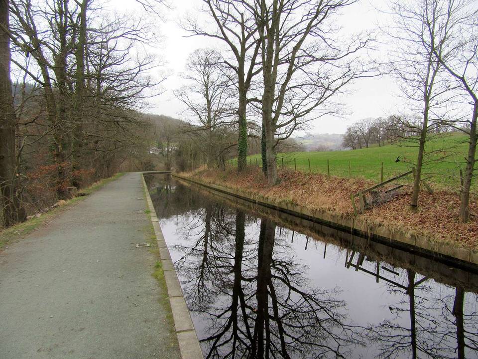
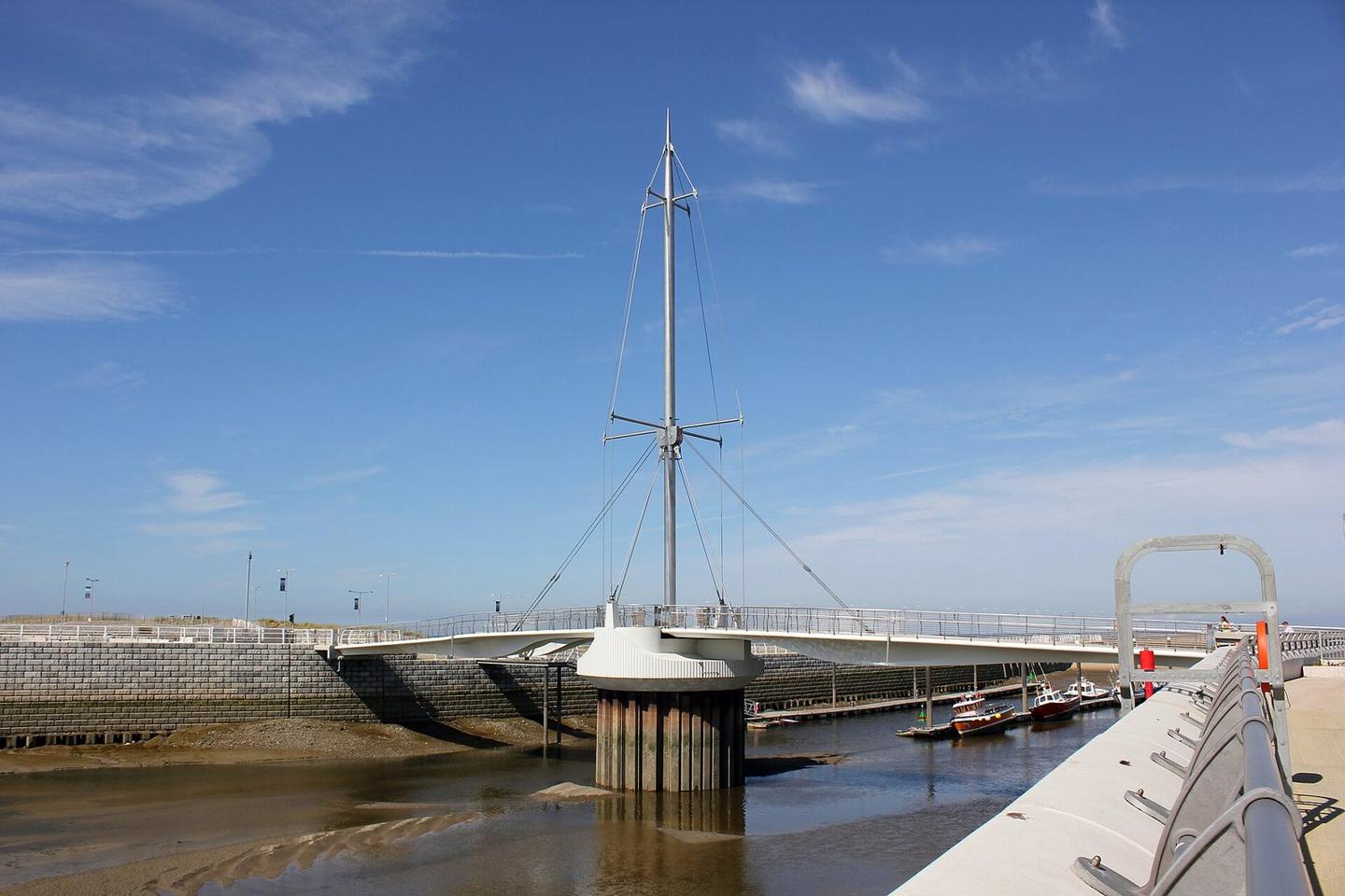
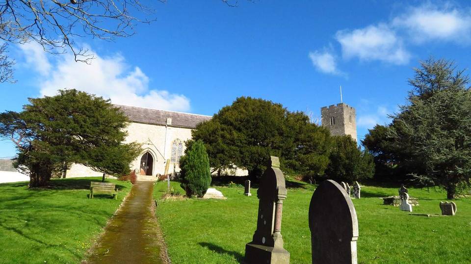
2 photographs from the road

Photo: Jeff Buck · CC BY-SA 2.0 · Wikimedia Commons · Photo: Meirion · CC BY-SA 2.0 · Wikimedia Commons