Cyclists.com

Ride the Clwyds

Gellifor, Denbighshire, United KingdomGravel

Signed route The waymarked Ride the Clwyds (Going Backwards), traced from OpenStreetMap and measured against the terrain model; no member has recorded it yet. Ridden it? Add your recording and photos.

35 km
Distance
684 m
Elevation gain
Moderate
Difficulty
Mixed
Surface
Download GPXMap

Elevation profile

Total ascent
684 m
Distance
35 km
0100200300400500m0 km10203035 km391 m · highest, at 15.1 kmStartFinish · back at the start

Route overview

Riders comfortable with moderate distance and climbs and mixed surfaces including gravel.

Loop ride from Gellifor in Denbighshire, 35 km with 684 m climbing on mixed surfaces.

The ride starts and finishes in Gellifor, passing through Llanbedr Dyffryn Clwyd at 5.4 km, Ruthin at 7.2 km, then continuing on to Llanferres at 15.9 km and Llangynhafal near the end at 34.9 km. The route forms a loop covering 35.3 km with 684 m of elevation gain. Climbing is spread over four main sections: a 6.4 km climb starting at 8.6 km climbs 316 m with up to 12.1% gradient, reaching 390 m elevation. Subsequent climbs are shorter with moderate gradients: 1.6 km at 4.6%, 2.5 km at 5.8%, and 1.9 km at 2.8%. The route’s profile ascends steadily in the first half (53% of climbing) and includes a longest descent of 3.1 km dropping 229 m after 30.8 km. The surface is mixed with 45% paved and 55% gravel or unpaved, and includes 11.8 km of track, 7.1 km of minor road, 6.5 km of path, and 6.1 km of quiet street. Main roads and major roads total about 3.4 km without cycle lanes, with 1.1 km on roads posted 80 km/h or faster. The longest stretch without cafés, shops, or water is 23.5 km between 7.1 km and 30.6 km. Amenities near the route include pubs at 7.1 km and 34.9 km, a supermarket at 7.1 km, toilets at 17.1 km, and a spring at 30.6 km.

Highlights

  • Main climb 8.6–15 km up to 390 m
  • Peaks near road: Moel Gyw and Gyrn
  • Longest descent 3.1 km from 30.8 km
  • Pubs: Feathers Inn and Golden Lion

Along the route

Measured from the recorded track and OpenStreetMap.

Places passed

  1. Llanbedr Dyffryn Clwyd 5.4 km
  2. Ruthin 7.2 km
  3. Llanferres 15.9 km

Climbs

ClimbStarts atLengthGainAverageMaxTop
8.6 km6.4 km316 m5 %12.1 %390 m
16.4 km1.6 km73 m4.6 %7.9 %348 m
23.8 km2.5 km145 m5.8 %9.6 %379 m
28.4 km1.9 km54 m2.8 %4.8 %355 m

High point 390 m at 14.9 km; low point 60 m. Passes beneath Moel Gyw, Gyrn, Moel Eithinen.

What this ride is like

Measured from OpenStreetMap along the track and the elevation profile.

Roads
34% track · 20% minor road · 19% path · 17% quiet street
Main roads
3.4 km on main roads without a cycle lane — likely busier
Fast roads
1.1 km on roads with a limit of 80 km/h or more
Surface
45% paved · 55% gravel or unpaved
Gradient
37% climbing · 32% descending · 31% flat
Steep sections
5.4 km over 5% · 2.2 km over 8% · 0.7 km over 10% · steepest 500 m averages 11.9% at 10 km
Longest descent
3.1 km from 30.8 km, dropping 229 m

Along the way

Within a few hundred metres of the track, from OpenStreetMap. Opening hours change — treat this as where to look, not a promise.

Longest stretch without a café, shop or water: 24 km, from 7 km to 31 km.

Food, water and shops

  1. 7.1 kmFeathers Inn · pub · on the route
  2. 7.1 kmCo-op Food · supermarket · 160 m off route
  3. 7.1 kmWell Street Pharmacy · pharmacy · 90 m off route
  4. 17.1 kmToilets · 140 m off route
  5. 30.6 kmFfynnon y Gweithiwr · spring · 150 m off route
  6. 34.9 kmGolden Lion · pub · on the route

Worth a stop

  • 7.1 kmMaen Huail (archaeological site)
  • 13 kmGyrn (peak, 384 m)
  • 20.6 kmFfrith Mountain (peak, 378 m)
  • 31.2 kmMoel Arthur (peak, 452 m)

At the start and finish

  • Golden Lion · pub · 600 m

Practical information

Surface
Mixed
Route shape
Loop
Riding time
2 h 56 min
Best months
Jun to Sep — daily highs of 17–19 °C in those months

Know before you go

  • 23.5 km longest stretch without café, shop or water
  • 3.4 km on main roads without a cycle lane
  • 1.1 km on roads with posted limits 80 km/h+
  • 55% gravel or unpaved surfaces

Routes are for inspiration. Roads, surfaces and conditions change — check locally and ride within your limits.

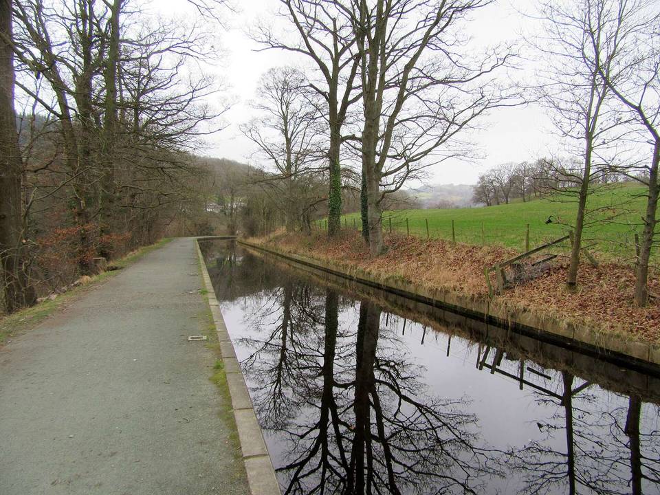
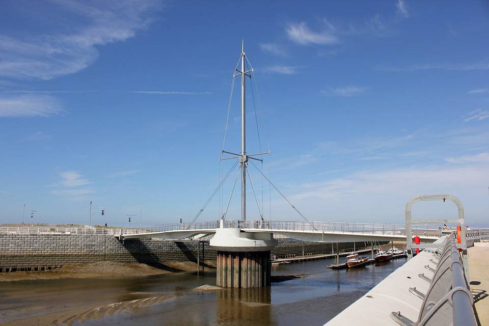
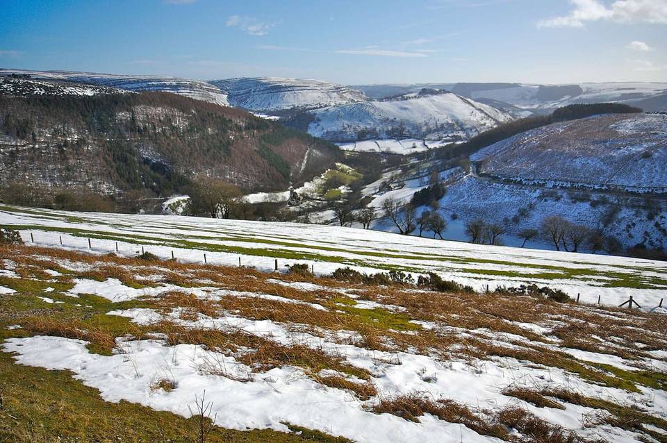
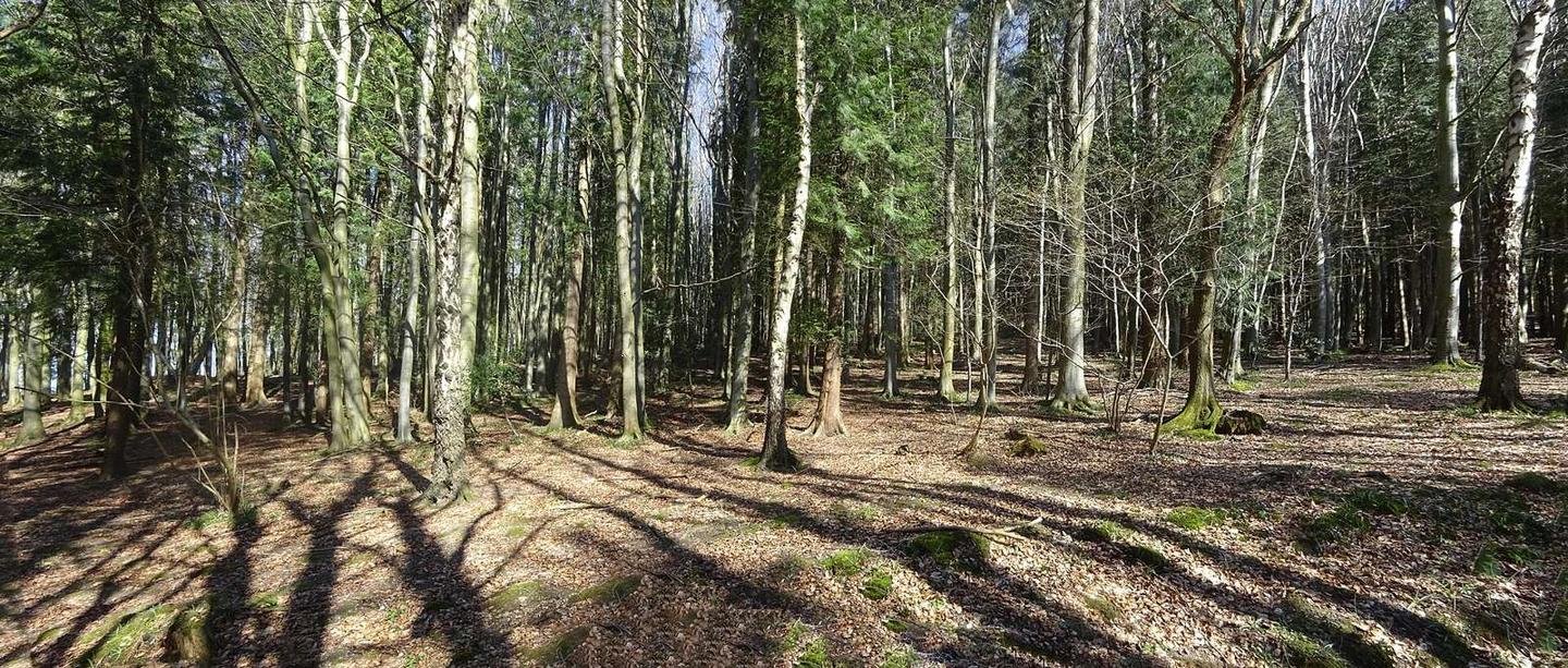
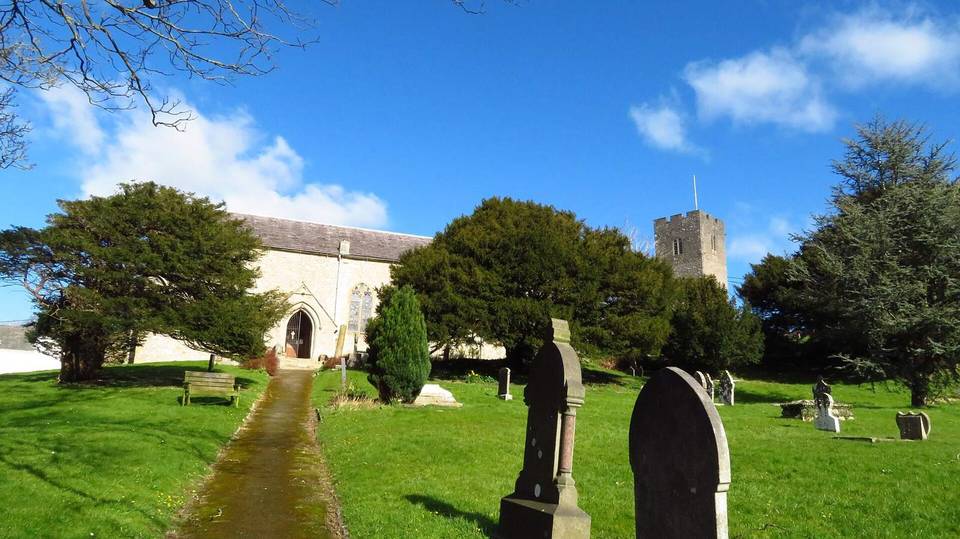
2 photographs from the road

Photo: ClwydianRanger · CC BY-SA 4.0 · Wikimedia Commons · Photo: Peter McDermott · CC BY-SA 2.0 · Wikimedia Commons · Photo: Ceri Thomas · CC BY-SA 2.0 · Wikimedia Commons