Road · United Arab Emirates
Al Qudra Stick and Loop via Al Yalayis
- 88 km
- 114 m
- Moderate
- Paved
Elevation profile
- 114 m
- 88 km
Route overview
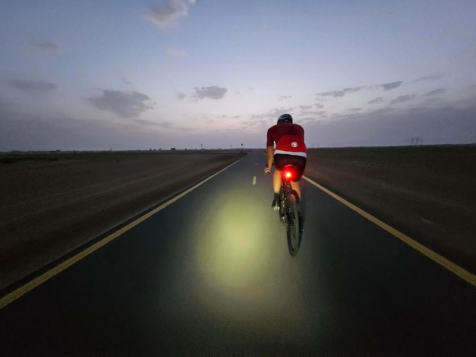
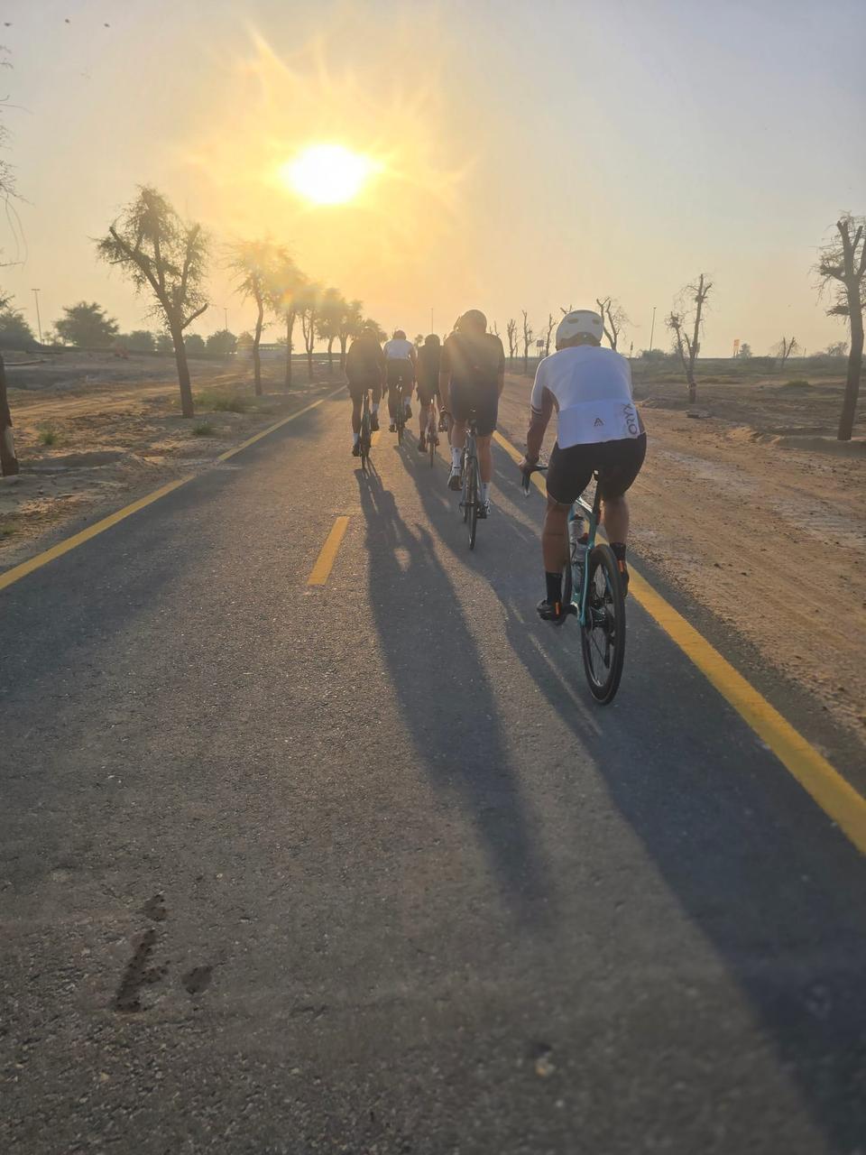
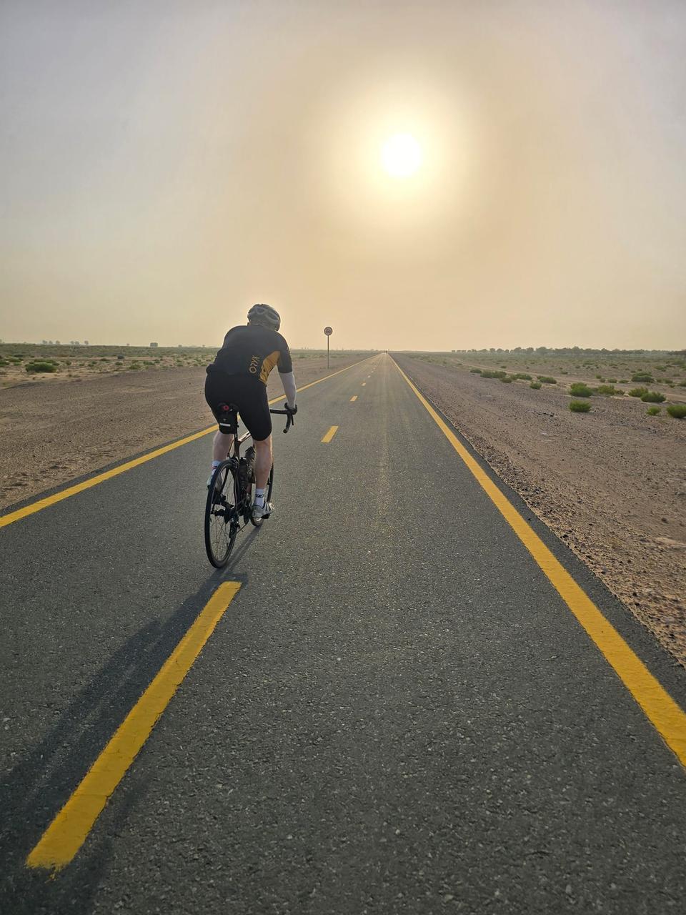
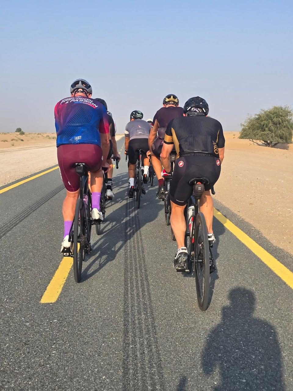
Suitable for cyclists looking for a flat, mostly cycle path route of medium distance with moderate climbing.
88 km loop cycle route in Dubai, United Arab Emirates, mostly on cycle paths with 110 m elevation gain.
Starting from Dubai, the route is an 88 km loop that passes through Mugatrah at 33.4 km and Al Yalayis 3 at 82.7 km before returning to Dubai. The ride profile is predominantly flat, with 98% flat terrain and only 0.1 km of gradient over 10%, reaching a highest point of 117 m at 57.8 km and a low of 42 m near the start. The surface is fully paved, with 94% of the route on cycle paths or lanes, including the Al Qudra Cycle Path Route 1 (46.7 km) and Route 4 (35.2 km). There are small sections on main roads (2.3 km), quiet streets (1.3 km), and minor roads (1.1 km), including 2.5 km on main roads without a cycle lane and 2.2 km on roads with posted speed limits of 80 km/h or more. Facilities along the route include convenience stores at 68.5 km and 84.3 km, a restaurant and petrol station at 68.5 km, drinking water and toilets at 18.9 km, and bike rental also at 18.9 km. However, there is a long stretch of 49.6 km between 18.9 km and 68.5 km without any café, shop, or water, so riders should plan accordingly.
Highlights
- Passes Mugatrah at 33.4 km
- Highest point at 117 m near 57.8 km
- Extensive Al Qudra Cycle Path sections
- Facilities at 18.9 km and 68.5 km
Along the route
Places passed
What this ride is like
- Roads
- 94% cycle path · 3% main road · 1% quiet street · 1% minor road
- Main roads
- 2.5 km on main roads without a cycle lane — likely busier
- Fast roads
- 2.2 km on roads with a limit of 80 km/h or more
- Cycle paths
- 82.3 km on cycle paths or roads with a cycle lane
- Main roads used
- Al Qudra Cycle Path Route 1 (47 km), Al Qudra Cycle Path Route 4 (35 km)
- Surface
- Paved throughout
- Gradient
- 2% climbing · 0% descending · 98% flat
Along the way
Longest stretch without a café, shop or water: 50 km, from 19 km to 69 km.
Food, water and shops
- 3.2 kmEnoc · petrol station · 60 m off route
- 18.9 kmDrinking water · 50 m off route
- 18.9 kmToilets · 60 m off route
- 18.9 kmTrek · bike rental · 70 m off route
- 19.1 kmAlqudra Ambulance Medical Centre · clinic · 70 m off route
- 68.5 kmSpicy Village Restaurant · restaurant · 110 m off route
- 68.5 kmZad Foodstores · convenience store · on the route
- 68.5 kmADNOC · petrol station · 60 m off route
- 84.3 kmZoom · convenience store · 60 m off route
Practical information
- Paved
- Loop
- 3–4½ hours riding
- Jan and Nov with temperatures between 17 and 23°C.
- Dec to Feb — daily highs of 25–27 °C in those months
Know before you go
- 49.6 km without café, shop, or water from 18.9 km to 68.5 km
- 2.5 km on main roads without cycle lanes
- 2.2 km on roads with speed limits 80 km/h or higher