Cyclists.com

Around Dubai via Mugatrah (76 km)

Dubai, Dubai, United Arab EmiratesRoad

76 km
Distance
77 m
Elevation gain
Moderate
Difficulty
Paved
Surface
Download GPXMap
On the road: Around Dubai via Mugatrah (76 km)

Elevation profile

Total ascent
77 m
Distance
76 km
020406080100m0 km20406076 km95 m · highest, at 54.9 kmStartFinish · back at the start

Route overview

Suitable for those looking for a relatively flat 76 km loop with little climbing.

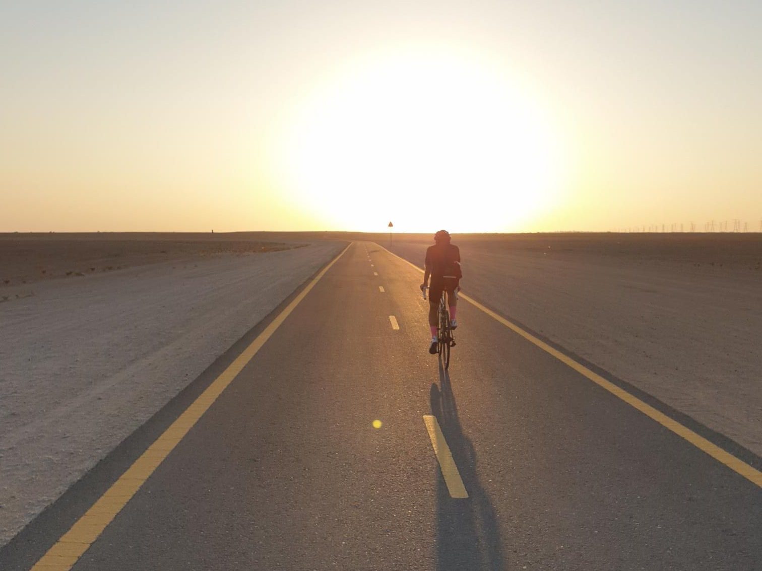
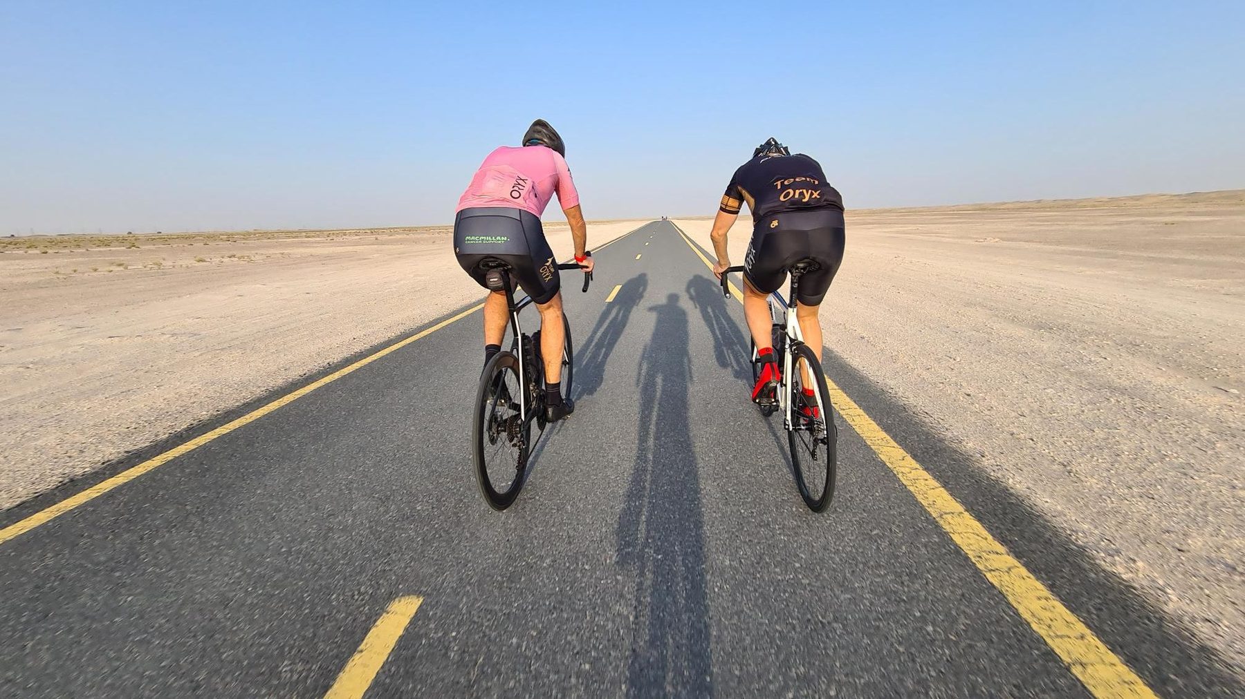
76 km loop cycle path ride around Dubai with 77 m elevation gain and mostly flat terrain.

This 76 km route begins and ends in Dubai, forming a loop. It passes through Mugatrah at 37.1 km and Al Yalayis 3 at 71 km. The ride is mostly flat with an elevation gain of 77 m, the highest point at 95 m located at 54.4 km, and lowest at 42 m near the start. Nearly the entire route is on paved surfaces, with 99% paved and only 1% on minor roads. Cycle paths make up 98% of the ride, mainly following Al Qudra Cycle Path Route 1 for 37.8 km and Route 4 for 36.4 km. The gradient is very gentle, with only 0.1 km exceeding 5%, 8%, and 10% gradients. Facilities are limited along the way; the longest stretch without cafés, shops, or water is 32.5 km between 18.9 km and 51.4 km. You can find convenience stores like Zad Foodstores at 18.9 km and Zoom at 72.4 km. Drinking water and toilets are available around 18.7 km. Bike rental, restaurant, and petrol stations lie close to 51.4-51.9 km and 72.4 km. There are no specific bailout points.

Highlights

  • Passes Mugatrah at 37.1 km
  • Passes Al Yalayis 3 at 71 km
  • Follows Al Qudra Cycle Path Route 1 and 4
  • Highest point 95 m at 54.4 km

Along the route

Measured from the recorded track and OpenStreetMap.

Places passed

  1. Mugatrah 37.1 km
  2. Al Yalayis 3 71 km

What this ride is like

Measured from OpenStreetMap along the track and the elevation profile.

Roads
98% cycle path · 1% minor road
Cycle paths
74.2 km on cycle paths or roads with a cycle lane
Main roads used
Al Qudra Cycle Path Route 1 (38 km), Al Qudra Cycle Path Route 4 (36 km)
Surface
Paved throughout
Gradient
1% climbing · 1% descending · 99% flat

Along the way

Within a few hundred metres of the track, from OpenStreetMap. Opening hours change — treat this as where to look, not a promise.

Longest stretch without a café, shop or water: 33 km, from 19 km to 51 km.

Food, water and shops

  1. 18.6 kmToilets · 120 m off route
  2. 18.7 kmDrinking water · 120 m off route
  3. 18.9 kmZad Foodstores · convenience store · 100 m off route
  4. 51.4 kmSpicy Village Restaurant · restaurant · 170 m off route
  5. 51.4 kmAlqudra Ambulance Medical Centre · clinic · 90 m off route
  6. 51.9 kmTrek · bike rental · 120 m off route
  7. 51.9 kmADNOC · petrol station · 180 m off route
  8. 72.4 kmZoom · convenience store · 40 m off route
  9. 72.4 kmEnoc · petrol station · 40 m off route

Practical information

Surface
Paved
Route shape
Loop
Riding time
2–3 hours riding
Season
January to March with temperatures from 16°C to 27°C.
Best months
Dec to Feb — daily highs of 25–27 °C in those months

Know before you go

  • Longest stretch without café, shop or water: 32.5 km between 18.9 km and 51.4 km

Routes are for inspiration. Roads, surfaces and conditions change — check locally and ride within your limits.

More rides from Dubai