Road · United Arab Emirates
Al Qudra Stick and Solar Park
A flat 64 km road cycling loop from Dubai through Al Yalayis 3, with 75 m of climbing. 96% is on cycle paths or roads with a cycle lane. There is a 44 km stretch without a café, shop or water (km 19–63).
At a glance
- Best for
- Steady riding away from traffic
- Distance
- 63.7 km
- Elevation gain
- 75 m
- Riding time
- 2–3 hours
- Difficulty
- Moderate
- Bike
- Road bike
- Surface
- Paved
- Traffic
- Mostly cycle paths
- Food & water
- Longest gap 44 km
- Best months
- Dec to Feb
- Navigation
- GPX download
- Start and finish
- Dubai
Map and elevation profile
Elevation profile
- 75 m
- 64 km
What it was like to ride
Route description
- Dubai
- Al Yalayis 3
- Dubai
The route starts and finishes in Dubai, forming a 63.7 km loop. It rises gently from a low point of 42 m at 0.7 km to its highest point of 117 m at 29.7 km, with most of the elevation gain occurring in the first half. The profile is predominantly flat, with 99% of the route at gentle gradients and only 0.1 km exceeding 10% gradient.
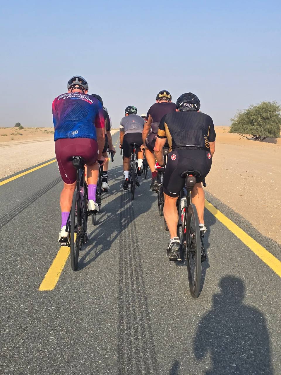
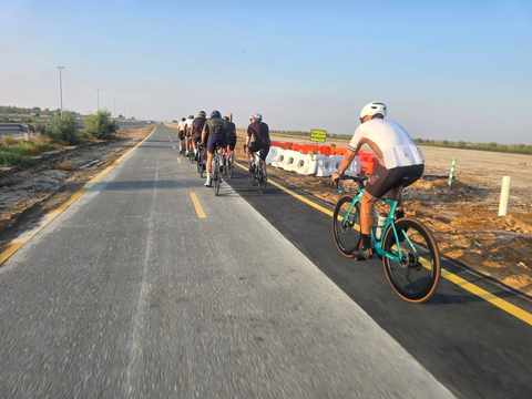
The entire route is paved, with 97% on cycle paths and only around 1.2 km on main roads lacking a cycle lane. The longest stretches are along Al Qudra Cycle Path Route 4 for 35.2 km and Route 1 for 25.9 km. Facilities include a convenience store and petrol station around 3.1 km, and further amenities including shops, water, toilets, a bike rental shop, and a restaurant close together near 19 km. However, there is a 44.4 km stretch without café, shop or water from 19 km to 63.4 km.
There are no climbs, and no peaks near the road are listed. The temperature recorded was 14 °C in January. The route suits riders looking for a flat distance ride around Dubai with good cycle path provision.
Why ride this route?
- 96% on cycle paths or lanes.
Highlights
- Al Qudra Cycle Path Route 4 for 35.2 km
- Highest point at 117 m at 29.7 km
- Convenience stores near 3 km and 19 km
- Long 44.4 km stretch without café or water from 19 km
Along the route
Places passed
Traffic, surface and gradient
Much of the route is separated from traffic: 96% is on cycle paths or roads with a cycle lane.
- Roads
- 97% cycle path · 1% main road · 2% other roads and tracks
- Main roads
- 1.2 km on main roads without a cycle lane — likely busier
- Cycle paths
- 61.3 km on cycle paths or roads with a cycle lane
- Main roads used
- Al Qudra Cycle Path Route 4 (35 km), Al Qudra Cycle Path Route 1 (26 km)
- Surface
- Paved: 100% of the route is mapped as paved.
- Gradient
- 0% climbing · 1% descending · 99% flat
Food, water and services
The longest stretch without a café, shop or water is 44 km, from km 19 to 63. Along the route: 1 café or restaurant, 3 shops, 1 water point, 2 petrol stations, 1 public toilet and 2 bike shops.
Food, water and shops in ride order
- 3.1 kmZoom · convenience store · 60 m off route
- 3.1 kmEnoc · petrol station · 50 m off route
- 18.9 kmDrinking water · on the route
- 18.9 kmToilets · on the route
- 18.9 kmTrek · bike rental · 40 m off route
- 18.9 kmADNOC · petrol station · 90 m off route
- 19 kmSpicy Village Restaurant · restaurant · 130 m off route
- 19 kmZad Foodstores · convenience store · on the route
- 19 kmAlqudra Ambulance Medical Centre · clinic · 110 m off route
Know before you go
- 44.4 km without café, shop or water after 19 km
- 1.2 km on main roads without cycle lanes