Road · United Arab Emirates
Dubai – Sharjah via Warsan
A flat 64 km road cycling loop from Dubai through Wadi Al Safa 4, Warsan and Al Warqa, with 74 m of climbing.
At a glance
- Best for
- Flat, steady riding
- Distance
- 64.3 km
- Elevation gain
- 74 m
- Riding time
- 2½–3½ hours
- Difficulty
- Moderate
- Bike
- Road bike
- Surface
- Mostly paved
- Traffic
- Mostly minor roads
- Food & water
- Regular
- Best months
- Dec to Feb
- Navigation
- GPX download
- Start and finish
- Dubai
Map and elevation profile
Elevation profile
- 74 m
- 64 km
Route description
- Dubai
- Wadi Al Safa 4
- Warsan
- Al Warqa
- Mushrif
- Warsan 1
- Nadd Hessa
- The Villa
- Wadi Al Safa
- Dubai
This 64.3 km loop starts and ends in Dubai, passing through Wadi Al Safa 4 and Warsan early on. The route continues via Al Warqa and Mushrif where the highest point at 50 m occurs around 29 km. From there it heads past Warsan 1, Nadd Hessa, The Villa, and Wadi Al Safa before returning to Dubai.
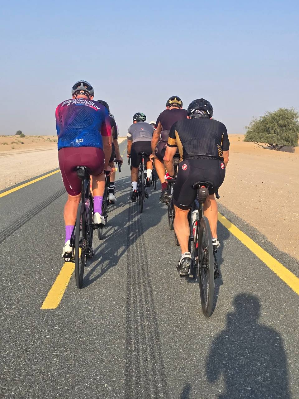
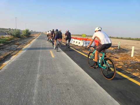
The ride is mostly flat with just 74 m of climbing, 98% on flat terrain. The road surface is 92% paved with 3% gravel and 5% unmapped. The route includes 25 km of cycle path, 14 km of minor roads and quiet streets, plus 3.4 km each on motorway and main roads. There is 6.9 km on main roads without cycle lanes and 4.2 km on roads with speed limits of 80 km/h or higher.
Cafés, shops, toilets, and bail-out points are plentiful, although there is an 8.1 km stretch without café, shop, or water early in the ride between 2 and 10 km. Several cafés and supermarkets lie close to the route, such as La Brioche at 12 km and Lulu Supermarket at 12.1 km. There are also bike rentals around 22.6 km and 31.2 km, plus petrol stations at 25.7 km, 52.7 km, and 59.5 km.
Highlights
- Loop route starting and finishing in Dubai
- High point of 50 m near Mushrif at 29 km
- 25 km on cycle paths
- Cafés and shops close by the route
Along the route
Places passed
Traffic, surface and gradient
Mostly minor roads and streets on the map; 6.9 km is on main roads without a cycle lane.
- Roads
- 41% cycle path · 22% minor road · 13% quiet street · 7% path · 17% other roads and tracks
- Main roads
- 6.9 km on main roads without a cycle lane — likely busier
- Fast roads
- 4.2 km on roads with a limit of 80 km/h or more
- Cycle paths
- 25.2 km on cycle paths or roads with a cycle lane
- Main roads used
- 82 Street (3 km)
- Surface
- Predominantly paved: 92% is mapped as paved, 3% as unpaved or gravel and 5% has no surface data.
- Gradient
- 2% climbing · 1% descending · 98% flat
Food, water and services
No stretch is longer than 15 km without a café, shop or water. Along the route: 97 cafés and restaurants, 28 shops, 4 petrol stations, 16 public toilets and 2 bike shops.
Food, water and shops in ride order
- 1.6 kmCoterra Coffee Roasters · café · 250 m off route
- 1.6 kmSri Lanka & Bangladesh Pavilion · market · 320 m off route
- 1.6 kmMen · toilets · 280 m off route
- 12.3 kmLa Brioche · café · 160 m off route
- 12.3 kmToilets · 120 m off route
- 17.6 kmAl Faraj Pharmacy · pharmacy · 80 m off route
- 19.7 kmArabian Supermarket- S03 · supermarket · 230 m off route
- 22.6 kmBike rental · 220 m off route
- 26.7 kmWhite Oryx · café · 120 m off route
- 29.4 kmToilets · 40 m off route
- 31.2 kmCafe Peloton · café · 80 m off route
- 40.8 kmOnyx Parmacy · pharmacy · on the route
- 41.6 kmLight Food Cafeteria · café · 50 m off route
- 46.1 kmKulfi Chai · café · 60 m off route
- 48.6 kmToilets · 120 m off route
- 48.8 kmMedicina Pharmacy · pharmacy · 100 m off route
- 52.7 kmADNOC · petrol station · 160 m off route
- 59.5 kmMcDonald's · fast food · 50 m off route
Need to bail out?
- 14.1 km — Station, 90 m off route
- 21.3 km — Station, 80 m off route
- 44.7 km — Station, 140 m off route
- 60 km — Abra Station (ferry), 500 m off route
Worth a stop
- 7.1 km — FalconCity central roundabout (viewpoint)
- 47.8 km — DSO Water Wall (attraction)
Know before you go
- 8.1 km without café, shop or water from km 2 to 10.1
- 6.9 km on main roads without cycle lanes
- 4.2 km on roads with speed limits 80 km/h or higher
- 3% gravel surface