Cyclists.com

Around Dubai via Mugatrah (94 km)

Dubai, Dubai, United Arab EmiratesRoad

94 km
Distance
128 m
Elevation gain
Moderate
Difficulty
Paved
Surface
Download GPXMap
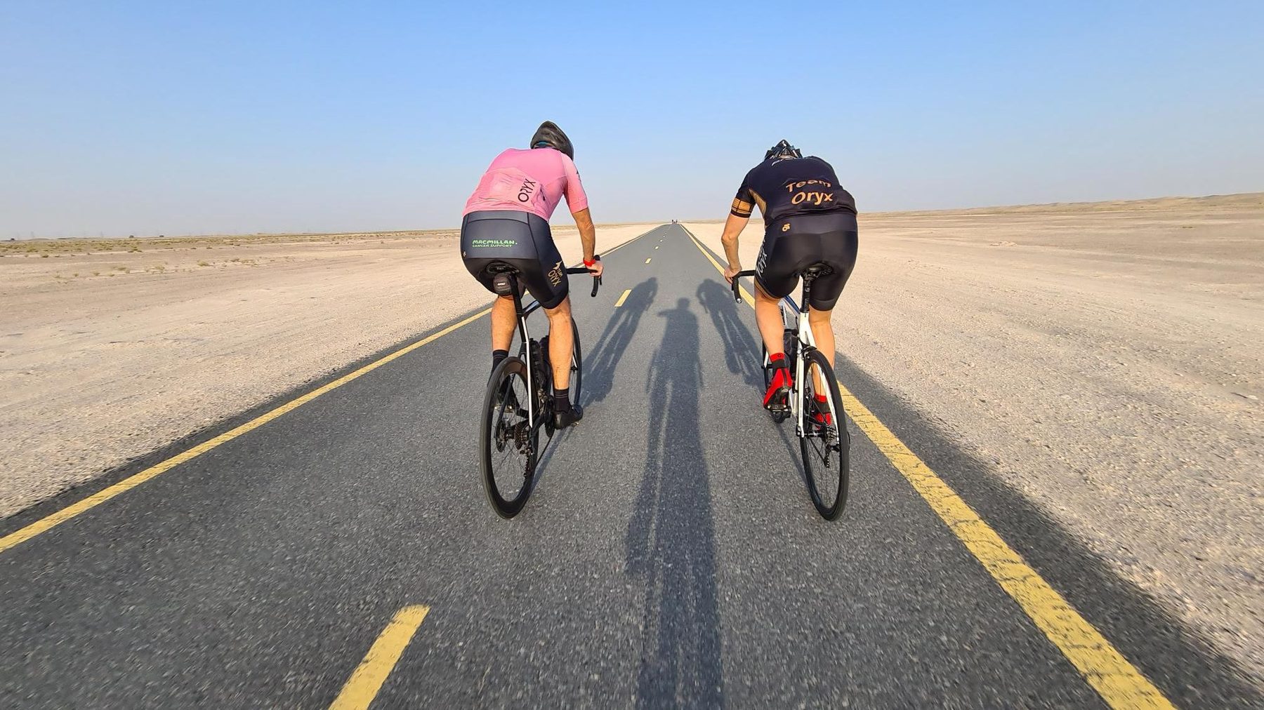
On the road: Around Dubai via Mugatrah (94 km)

Elevation profile

Total ascent
128 m
Distance
94 km
0255075100125m0 km2040608094 km117 m · highest, at 65.7 kmStartFinish · back at the start

Route overview

Suitable for riders looking for a flat, mostly paved 94 km loop with minimal climbing.

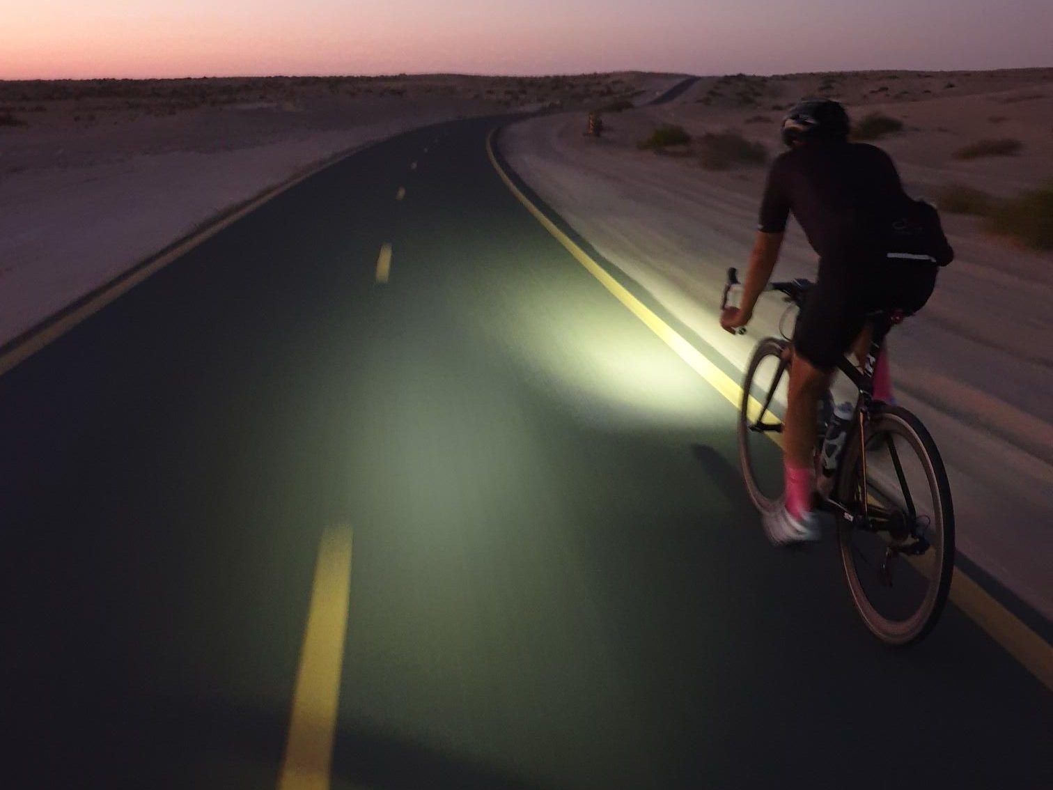
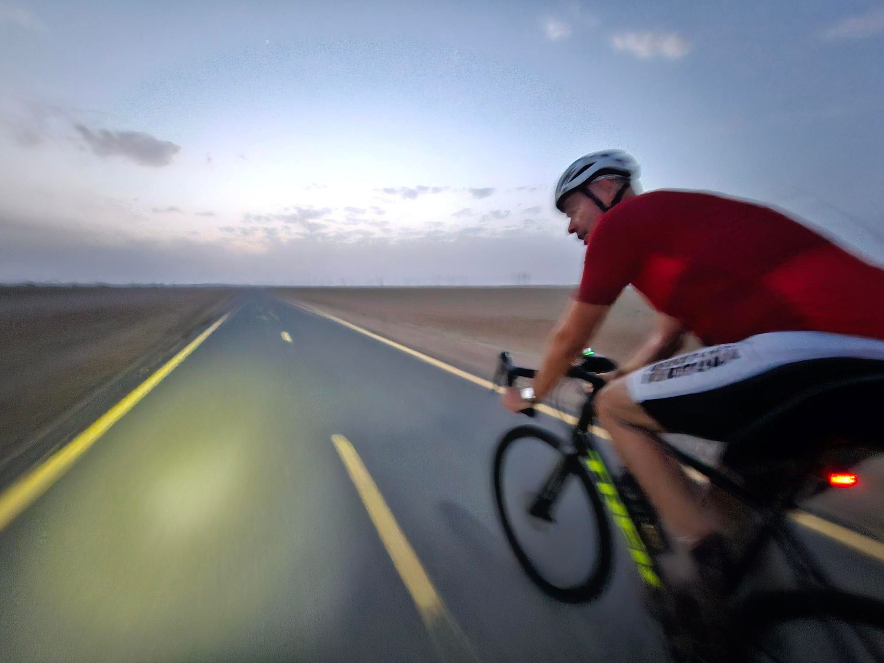
94 km loop ride around Dubai with 128 m climbing mainly on cycle paths.

The route starts and finishes in Dubai, forming a 94.4 km loop. It climbs gently with a total elevation gain of 128 m, reaching its highest point at 117 m around km 65 and its lowest at 42 m near km 8.3. The profile is largely flat, with 97% of the ride being flat roads and very little steep climbing. The surface is 99% paved, and the route is composed mainly of cycle paths (97%), with just over 1 km on main roads and minor roads combined and a short section on a quiet street. Notably, 48.4 km are covered on the Al Qudra Cycle Path Route 1, and 42.3 km on Route 4. The longest stretch without a café, shop or water is 64.4 km from km 26.3 to 90.7. There is drinking water, toilets, food and bike rental options near km 26.3, and a convenience store at 90.7 km. Petrol stations are available near km 10.7 and 26.3. The ride passes through two named places, Mugatrah at km 40.8 and Al Yalayis 3 near km 89.3. There are 1.3 km on main roads without cycle lanes, and practically the whole route is on cycle paths, making it suitable for those seeking predominantly on-path cycling.

Highlights

  • Al Qudra Cycle Path Route 1, 48 km
  • Al Qudra Cycle Path Route 4, 42 km
  • Mugatrah at 40.8 km
  • Highest point 117 m at 65 km

Along the route

Measured from the recorded track and OpenStreetMap.

Places passed

  1. Mugatrah 40.8 km
  2. Al Yalayis 3 89.3 km

What this ride is like

Measured from OpenStreetMap along the track and the elevation profile.

Roads
97% cycle path · 1% main road · 1% minor road · 1% quiet street
Main roads
1.3 km on main roads without a cycle lane — likely busier
Cycle paths
90.8 km on cycle paths or roads with a cycle lane
Main roads used
Al Qudra Cycle Path Route 1 (48 km), Al Qudra Cycle Path Route 4 (42 km)
Surface
Paved throughout
Gradient
2% climbing · 1% descending · 97% flat

Along the way

Within a few hundred metres of the track, from OpenStreetMap. Opening hours change — treat this as where to look, not a promise.

Longest stretch without a café, shop or water: 64 km, from 26 km to 91 km.

Food, water and shops

  1. 10.7 kmEnoc · petrol station · 50 m off route
  2. 26.3 kmSpicy Village Restaurant · restaurant · 130 m off route
  3. 26.3 kmZad Foodstores · convenience store · on the route
  4. 26.3 kmDrinking water · 60 m off route
  5. 26.3 kmToilets · 70 m off route
  6. 26.3 kmCareem · bike rental · on the route
  7. 26.3 kmADNOC · petrol station · 100 m off route
  8. 26.4 kmAlqudra Ambulance Medical Centre · clinic · 90 m off route
  9. 90.7 kmZoom · convenience store · 50 m off route

Practical information

Surface
Paved
Route shape
Loop
Riding time
3–4 hours riding
Season
March, with temperatures around 18°C.
Best months
Dec to Feb — daily highs of 25–27 °C in those months

Know before you go

  • 64 km with no café, shop or water from km 26.3 to 90.7
  • 1.3 km on main roads without a cycle lane

Routes are for inspiration. Roads, surfaces and conditions change — check locally and ride within your limits.

More rides from Dubai