Cyclists.com

Around Dubai (68 km)

Dubai, Dubai, United Arab EmiratesRoad

68 km
Distance
92 m
Elevation gain
Moderate
Difficulty
Paved
Surface
Download GPXMap
On the road: Around Dubai (68 km)

Elevation profile

Total ascent
92 m
Distance
68 km
020406080100m0 km204068 km88 m · highest, at 39.9 kmStartFinish · back at the start

Route overview

This route suits cyclists looking for a flat, manageable 68 km ride with minimal climbing.

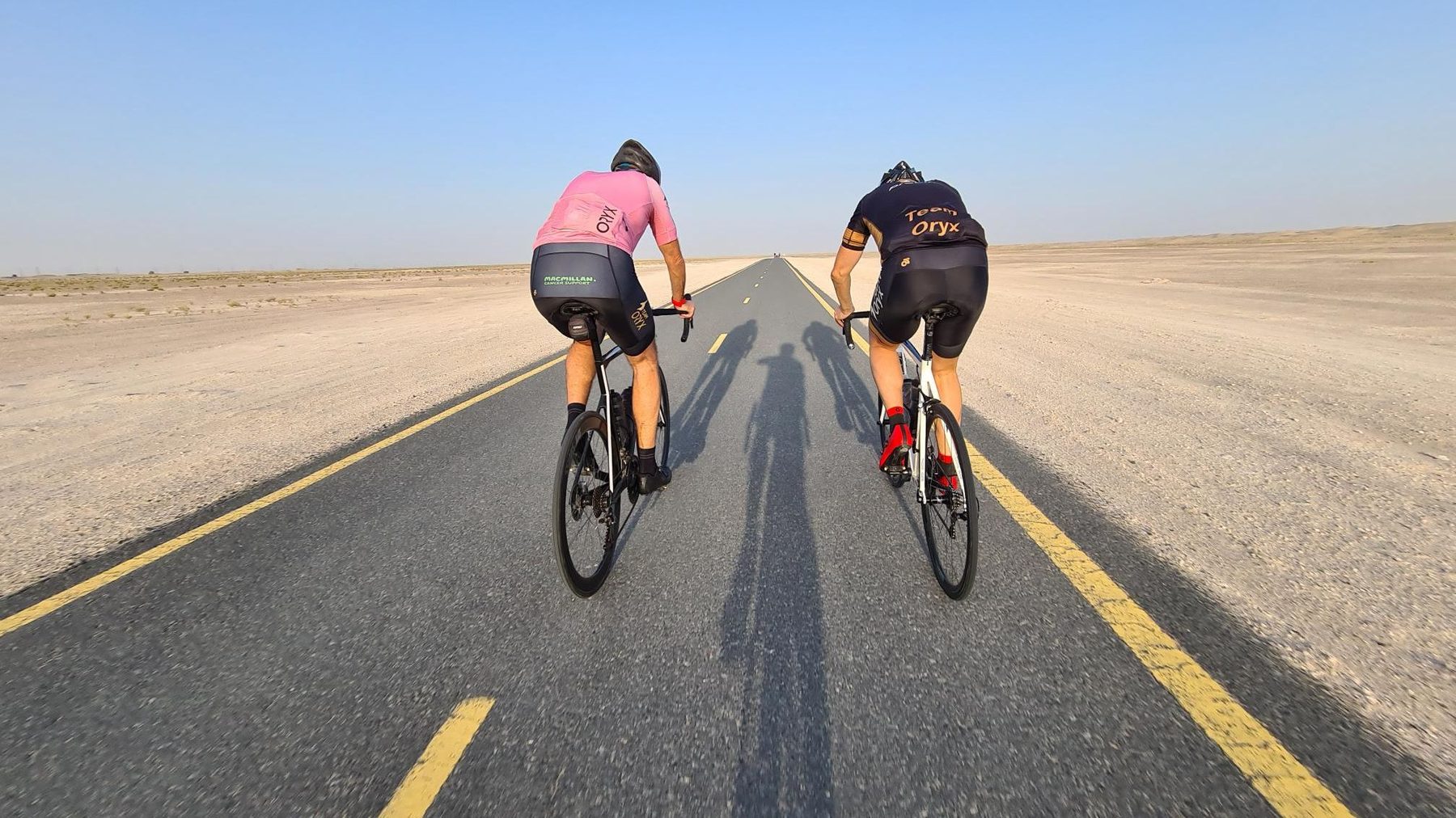
A 68 km loop route around Dubai on mostly cycle paths with 92 m climbing.

This 68 km loop starts and finishes in Dubai, featuring mostly flat terrain with a high point of 88 m at 18.9 km and a low point of 42 m at 67.2 km. The elevation gain totals 92 m, with half of the climbing done in the first half of the ride. The route primarily follows the Al Qudra Cycle Path Route 4 for 43.4 km and Route 1 for 21 km. The surface is fully paved with 96% of the route on cycle paths, 2% on minor roads, and 1% on quiet streets. From km 19 to 39.5, there is a 20.5 km stretch without cafés, shops, or water. Amenities along the route include a restaurant just off-route at 39.5 km, convenience stores at 19 and 55.2 km, drinking water and toilets near 18.7 - 18.9 km, bike rental at 18.7 km, and petrol stations at 19 and 55.2 km. The route is suitable for cyclists who want a mostly flat ride on dedicated cycle paths around Dubai.

Highlights

  • Al Qudra Cycle Path Route 4 for 43.4 km
  • Al Qudra Cycle Path Route 1 for 21 km
  • Highest point 88 m at 18.9 km
  • Restaurant at 39.5 km off route

Along the route

Measured from the recorded track and OpenStreetMap.

Places passed

  1. Al Yalayis 3 53.7 km

What this ride is like

Measured from OpenStreetMap along the track and the elevation profile.

Roads
96% cycle path · 2% minor road · 1% quiet street
Cycle paths
64.5 km on cycle paths or roads with a cycle lane
Main roads used
Al Qudra Cycle Path Route 4 (43 km), Al Qudra Cycle Path Route 1 (21 km)
Surface
Paved throughout
Gradient
2% climbing · 2% descending · 96% flat

Along the way

Within a few hundred metres of the track, from OpenStreetMap. Opening hours change — treat this as where to look, not a promise.

Longest stretch without a café, shop or water: 21 km, from 19 km to 40 km.

Food, water and shops

  1. 18.7 kmToilets · 120 m off route
  2. 18.7 kmTrek · bike rental · 110 m off route
  3. 18.9 kmDrinking water · 120 m off route
  4. 19 kmZad Foodstores · convenience store · 100 m off route
  5. 19 kmADNOC · petrol station · 190 m off route
  6. 39.5 kmSpicy Village Restaurant · restaurant · 160 m off route
  7. 39.5 kmAlqudra Ambulance Medical Centre · clinic · 80 m off route
  8. 55.2 kmZoom · convenience store · 40 m off route
  9. 55.2 kmEnoc · petrol station · 40 m off route

Practical information

Surface
Paved
Route shape
Loop
Riding time
2½–3½ hours riding
Season
Mar
Best months
Dec to Feb — daily highs of 25–27 °C in those months

Know before you go

  • 20.5 km with no café, shop or water from 19 to 39.5 km

Routes are for inspiration. Roads, surfaces and conditions change — check locally and ride within your limits.

More rides from Dubai